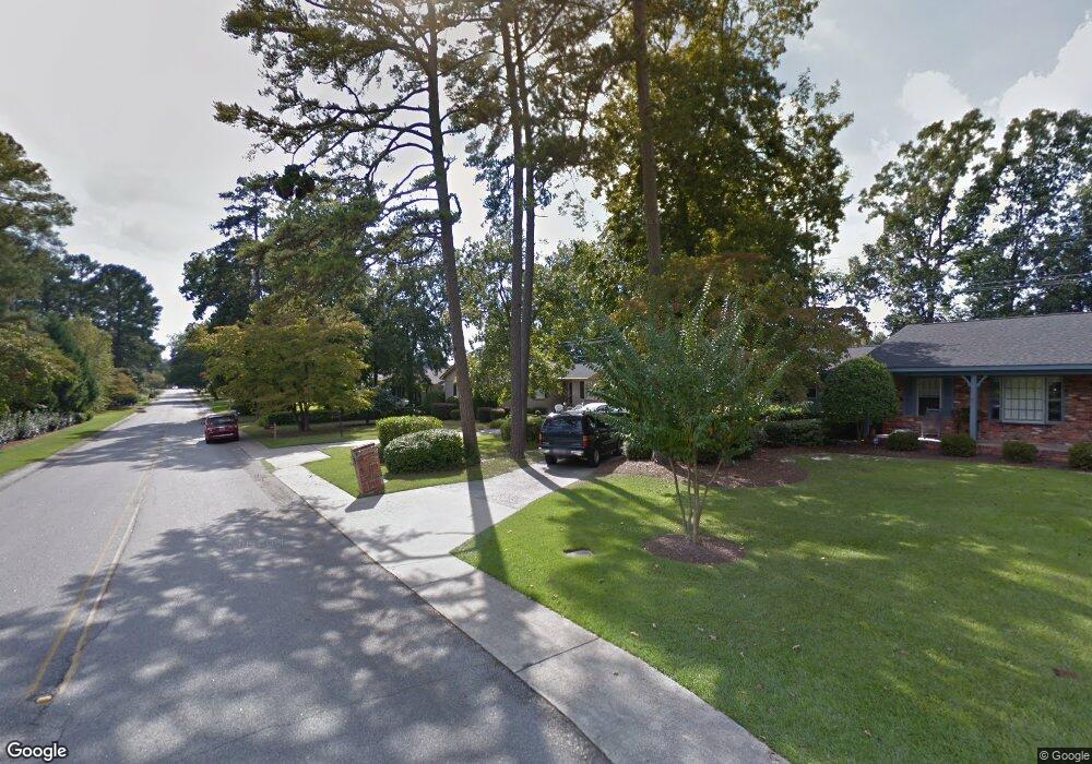
1001 Byron Rd Columbia, SC 29209
The Hamptons NeighborhoodEstimated Value: $279,000 - $369,000
3
Beds
2
Baths
1,706
Sq Ft
$181/Sq Ft
Est. Value
About This Home
This home is located at 1001 Byron Rd, Columbia, SC 29209 and is currently estimated at $309,533, approximately $181 per square foot. 1001 Byron Rd is a home located in Richland County with nearby schools including Meadowfield Elementary School, Hand Middle School, and Dreher High School.
Ownership History
Date
Name
Owned For
Owner Type
Purchase Details
Closed on
Oct 1, 2014
Sold by
Donnelly Daniel A and Donnelly Tracy L
Bought by
Donnelly Lucinda A
Current Estimated Value
Purchase Details
Closed on
Oct 8, 2004
Sold by
Acree Jack G
Bought by
Williams Charles
Home Financials for this Owner
Home Financials are based on the most recent Mortgage that was taken out on this home.
Original Mortgage
$116,000
Interest Rate
5.64%
Mortgage Type
Purchase Money Mortgage
Create a Home Valuation Report for This Property
The Home Valuation Report is an in-depth analysis detailing your home's value as well as a comparison with similar homes in the area
Home Values in the Area
Average Home Value in this Area
Purchase History
| Date | Buyer | Sale Price | Title Company |
|---|---|---|---|
| Donnelly Lucinda A | -- | -- | |
| Williams Charles | $145,000 | -- |
Source: Public Records
Mortgage History
| Date | Status | Borrower | Loan Amount |
|---|---|---|---|
| Previous Owner | Williams Charles | $116,000 |
Source: Public Records
Tax History
| Year | Tax Paid | Tax Assessment Tax Assessment Total Assessment is a certain percentage of the fair market value that is determined by local assessors to be the total taxable value of land and additions on the property. | Land | Improvement |
|---|---|---|---|---|
| 2024 | $1,375 | $192,200 | $0 | $0 |
| 2023 | $1,326 | $6,684 | $0 | $0 |
| 2022 | $1,211 | $167,100 | $33,900 | $133,200 |
| 2021 | $1,250 | $6,680 | $0 | $0 |
| 2020 | $1,319 | $6,680 | $0 | $0 |
| 2019 | $1,328 | $6,680 | $0 | $0 |
| 2018 | $1,182 | $5,810 | $0 | $0 |
| 2017 | $1,151 | $5,810 | $0 | $0 |
| 2016 | $1,110 | $5,810 | $0 | $0 |
| 2015 | $1,110 | $5,810 | $0 | $0 |
| 2014 | $5,232 | $187,100 | $0 | $0 |
| 2013 | -- | $11,230 | $0 | $0 |
Source: Public Records
Map
Nearby Homes
- 910 Wordsworth Dr
- 5 Kensington Place
- 6965 Shelley Rd
- 6627 Christie Rd
- 639 Veterans Rd
- 6524 Merrill Rd
- 6427 Christie Rd
- 126 Cardiff St
- 2 Copperfield Ct
- 1006 Coatesdale Rd
- 600 Rockwood Rd
- 1247 Rockwood Rd
- 1273 Rockwood Rd
- 11 Copperfield Ct
- 549 Old Woodlands Rd
- 1191 Rockwood Rd
- 110 Wembley St
- 6525 Macon Rd
- 1152 Rockwood Rd
- 759 Burnside Dr
Your Personal Tour Guide
Ask me questions while you tour the home.