Estimated Value: $113,000 - $217,000
2
Beds
1
Bath
1,164
Sq Ft
$153/Sq Ft
Est. Value
About This Home
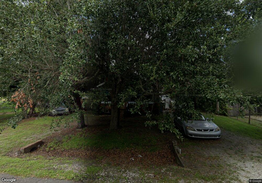
This home is located at 1001 Canal Dr, Cocoa, FL 32926 and is currently estimated at $177,755, approximately $152 per square foot. 1001 Canal Dr is a home located in Brevard County with nearby schools including Saturn Elementary School, Cocoa High School, and RFM Christian Academy.
Ownership History
Date
Name
Owned For
Owner Type
Purchase Details
Closed on
Apr 4, 2012
Sold by
Swenor Mary E and Swenor Randy Paul
Bought by
Mcneal Theodore A
Current Estimated Value
Purchase Details
Closed on
Mar 22, 2012
Sold by
True Margaret A
Bought by
Swenor Mary E
Purchase Details
Closed on
Aug 3, 2009
Sold by
Flores Jane A and Jones Jane A
Bought by
True Margaret A
Purchase Details
Closed on
Oct 29, 1998
Sold by
True Margaret A and True Margie S
Bought by
True Margaret A and Jones Jane A
Purchase Details
Closed on
Jul 30, 1997
Sold by
True Margaret
Bought by
True Margaret and True Margie S
Create a Home Valuation Report for This Property
The Home Valuation Report is an in-depth analysis detailing your home's value as well as a comparison with similar homes in the area
Home Values in the Area
Average Home Value in this Area
Purchase History
| Date | Buyer | Sale Price | Title Company |
|---|---|---|---|
| Mcneal Theodore A | $20,000 | Federal Title Insurance Agen | |
| Swenor Mary E | -- | None Available | |
| True Margaret A | -- | None Available | |
| True Margaret A | -- | -- | |
| True Margaret | -- | -- |
Source: Public Records
Tax History
| Year | Tax Paid | Tax Assessment Tax Assessment Total Assessment is a certain percentage of the fair market value that is determined by local assessors to be the total taxable value of land and additions on the property. | Land | Improvement |
|---|---|---|---|---|
| 2025 | $1,623 | $117,860 | -- | -- |
| 2024 | $1,372 | $109,520 | -- | -- |
| 2023 | $1,372 | $74,470 | $0 | $0 |
| 2022 | $1,222 | $63,510 | $0 | $0 |
| 2021 | $1,143 | $49,460 | $25,000 | $24,460 |
| 2020 | $1,043 | $43,590 | $20,000 | $23,590 |
| 2019 | $964 | $40,650 | $15,000 | $25,650 |
| 2018 | $947 | $40,380 | $12,000 | $28,380 |
| 2017 | $891 | $33,850 | $12,000 | $21,850 |
| 2016 | $875 | $31,640 | $12,000 | $19,640 |
| 2015 | $838 | $28,870 | $12,000 | $16,870 |
| 2014 | $831 | $28,030 | $12,000 | $16,030 |
Source: Public Records
Map
Nearby Homes
- 2511 Hathaway Dr
- 1301 N Range Rd
- 717 Lunar Lake Cir
- 0000 N Range Rd
- 766 Lunar Lake Cir
- 764 Lunar Lake Cir
- 2475 Mercury Dr
- 703 Venus Dr
- 2472 Victor Rd
- 2442 Dianne Dr
- 2409 Granger Rd
- 472 Carley Ln
- 701 Monday Ct
- 2029 Ivy Dr
- 2515 Fairfield Dr
- 1326 Stetson Ct
- 2500 Fairfield Dr
- 695 Lantana St
- 1810 Dixon Blvd
- 0000 Null Unknown
Your Personal Tour Guide
Ask me questions while you tour the home.