1001 Dove Hunter Rd Deland, FL 32724
North DeLand NeighborhoodEstimated Value: $363,000 - $707,720
3
Beds
2
Baths
2,391
Sq Ft
$216/Sq Ft
Est. Value
About This Home
This home is located at 1001 Dove Hunter Rd, Deland, FL 32724 and is currently estimated at $517,180, approximately $216 per square foot. 1001 Dove Hunter Rd is a home located in Volusia County with nearby schools including George W. Marks Elementary School, Deland High School, and Deland Middle School.
Ownership History
Date
Name
Owned For
Owner Type
Purchase Details
Closed on
Jan 27, 1999
Sold by
Schofield Mark M and Schofield Dianne J
Bought by
Luby Paul J and Luby Carole E
Current Estimated Value
Home Financials for this Owner
Home Financials are based on the most recent Mortgage that was taken out on this home.
Original Mortgage
$192,200
Outstanding Balance
$45,922
Interest Rate
6.85%
Estimated Equity
$471,258
Purchase Details
Closed on
Jun 30, 1998
Sold by
Stoudenmire Groves Inc
Bought by
Schofield Mark M and Schofield Dianne J
Create a Home Valuation Report for This Property
The Home Valuation Report is an in-depth analysis detailing your home's value as well as a comparison with similar homes in the area
Home Values in the Area
Average Home Value in this Area
Purchase History
| Date | Buyer | Sale Price | Title Company |
|---|---|---|---|
| Luby Paul J | $87,000 | -- | |
| Schofield Mark M | $85,000 | -- |
Source: Public Records
Mortgage History
| Date | Status | Borrower | Loan Amount |
|---|---|---|---|
| Open | Luby Paul J | $192,200 |
Source: Public Records
Tax History Compared to Growth
Tax History
| Year | Tax Paid | Tax Assessment Tax Assessment Total Assessment is a certain percentage of the fair market value that is determined by local assessors to be the total taxable value of land and additions on the property. | Land | Improvement |
|---|---|---|---|---|
| 2025 | $3,903 | $256,012 | -- | -- |
| 2024 | $3,903 | $248,797 | -- | -- |
| 2023 | $3,903 | $241,551 | $0 | $0 |
| 2022 | $3,834 | $234,516 | $0 | $0 |
| 2021 | $3,803 | $218,669 | $0 | $0 |
| 2020 | $3,750 | $215,650 | $0 | $0 |
| 2019 | $3,876 | $210,802 | $0 | $0 |
| 2018 | $3,873 | $206,871 | $0 | $0 |
| 2017 | $3,889 | $202,616 | $0 | $0 |
| 2016 | $3,719 | $198,449 | $0 | $0 |
| 2015 | $3,794 | $197,070 | $0 | $0 |
| 2014 | $3,756 | $195,506 | $0 | $0 |
Source: Public Records
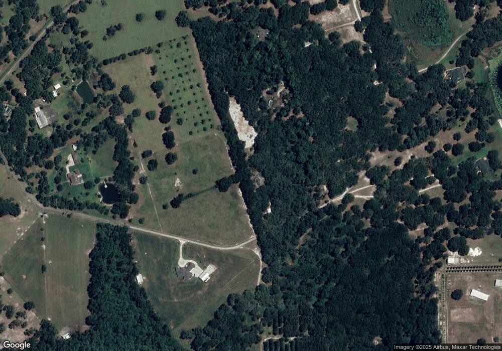
Map
Nearby Homes
- 1061 Marcy Dr
- 3282 Country Ln
- 4370 Grant St
- 1077 Quail Dr
- 1013 Quail Dr
- 1020 Quail Dr
- 1061 Robin Dr
- 1029 Robin Dr
- 1021 Robin Dr
- 987 Robin Dr
- 979 Robin Dr
- 924 Quail Dr
- 3609 Aquamarine Dr
- 3605 Aquamarine Dr
- 3614 Aquamarine Dr
- 3613 Azurite Ct
- 762 Onyx Pkwy
- 1040 Cedar Glen Dr
- 3140 Meadowlea Dr
- 1008 Cedar Glen Dr
- 3840 Bird Dog Ln
- 3860 Bird Dog Ln
- 0 Bird Dog Ln
- 951 Dove Hunter Rd
- 901 Dove Hunter Rd
- 3825 Bird Dog Ln
- 1100 Dove Hunter Rd
- 1090 Stoudenmire Rd
- 950 Dove Hunter Rd
- 3845 Bird Dog Ln
- 1080 Stoudenmire Rd
- 1020 Stoudenmire Rd
- 3885 Bird Dog Ln
- 3791 State Road 11
- 3865 Bird Dog Ln
- Stoudenmire Rd
- 1059 Carter Rd
- 1091 Stoudenmire Rd
- 1055 Carter Rd
- 3690 Cross Branch Rd