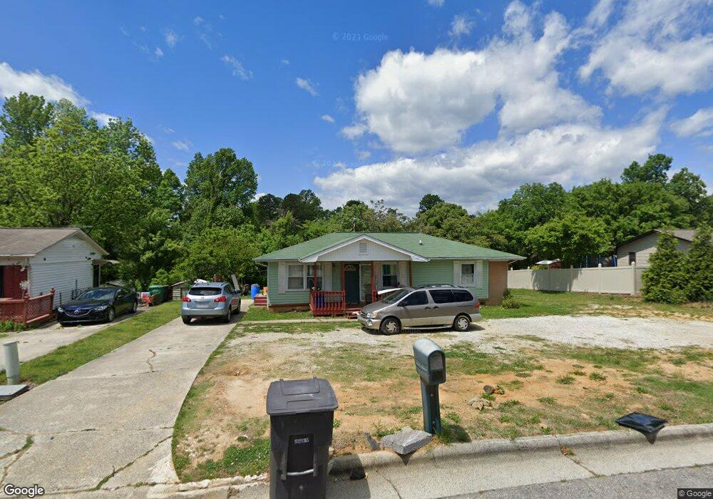
1001 Enterprise Dr High Point, NC 27260
Greater High Point NeighborhoodEstimated Value: $157,000 - $194,000
3
Beds
2
Baths
1,390
Sq Ft
$129/Sq Ft
Est. Value
About This Home
This home is located at 1001 Enterprise Dr, High Point, NC 27260 and is currently estimated at $179,010, approximately $128 per square foot. 1001 Enterprise Dr is a home located in Guilford County with nearby schools including Jamestown Elementary School, Southwest Guilford Middle School, and Southwest Guilford High School.
Ownership History
Date
Name
Owned For
Owner Type
Purchase Details
Closed on
Jun 29, 2017
Sold by
Williams Robert Lee
Bought by
Ziwelday Atobrham and Andu Freweyni
Current Estimated Value
Home Financials for this Owner
Home Financials are based on the most recent Mortgage that was taken out on this home.
Original Mortgage
$74,481
Outstanding Balance
$63,289
Interest Rate
4.75%
Mortgage Type
FHA
Estimated Equity
$115,721
Create a Home Valuation Report for This Property
The Home Valuation Report is an in-depth analysis detailing your home's value as well as a comparison with similar homes in the area
Home Values in the Area
Average Home Value in this Area
Purchase History
| Date | Buyer | Sale Price | Title Company |
|---|---|---|---|
| Ziwelday Atobrham | $77,000 | None Available |
Source: Public Records
Mortgage History
| Date | Status | Borrower | Loan Amount |
|---|---|---|---|
| Open | Ziwelday Atobrham | $74,481 |
Source: Public Records
Tax History
| Year | Tax Paid | Tax Assessment Tax Assessment Total Assessment is a certain percentage of the fair market value that is determined by local assessors to be the total taxable value of land and additions on the property. | Land | Improvement |
|---|---|---|---|---|
| 2025 | $1,304 | $94,600 | $22,000 | $72,600 |
| 2024 | $1,304 | $94,600 | $22,000 | $72,600 |
| 2023 | $1,304 | $94,600 | $22,000 | $72,600 |
| 2022 | $1,275 | $94,600 | $22,000 | $72,600 |
| 2021 | $974 | $70,700 | $14,000 | $56,700 |
| 2020 | $974 | $70,700 | $14,000 | $56,700 |
| 2019 | $974 | $70,700 | $0 | $0 |
| 2018 | $969 | $70,700 | $0 | $0 |
| 2017 | $969 | $70,700 | $0 | $0 |
| 2016 | $1,036 | $73,900 | $0 | $0 |
| 2015 | $1,042 | $73,900 | $0 | $0 |
| 2014 | $1,060 | $73,900 | $0 | $0 |
Source: Public Records
Map
Nearby Homes
- 1451 Finsbury Ln
- 1514 Kingsway Dr
- 1456 London Dr
- 601 Runyon Dr
- 1005 Gordon St
- 1007 Gordon St
- 2209 Gable Way
- 1136 Montlieu Ave
- 2507 E Lexington Ave
- 211 Spencer St
- 1707 Brockett Ave
- 1702 Brockett Ave
- 600 Hendrix St
- 2305 Delaware Place
- 1120 Carolina St
- 615 Hendrix St
- 2507 Suffolk Ave
- 404 Hickory Chapel Rd
- 206 Paramount St
- 1606 Boundary Ave
- 909 Enterprise Dr
- 1003 Enterprise Dr
- 604 Birdwood Way
- 602 Birdwood Way
- 606 Birdwood Way
- 1005 Enterprise Dr
- 907 Enterprise Dr
- 600 Birdwood Way
- 1451 Kingsway Dr
- 608 Birdwood Way
- 1004 Enterprise Dr
- 510 Birdwood Way
- 1007 Enterprise Dr
- 610 Birdwood Way
- 905 Enterprise Dr
- 904 Enterprise Dr
- 508 Birdwood Way
- 1453 Kingsway Dr
- 1006 Enterprise Dr
- 1009 Enterprise Dr
Your Personal Tour Guide
Ask me questions while you tour the home.