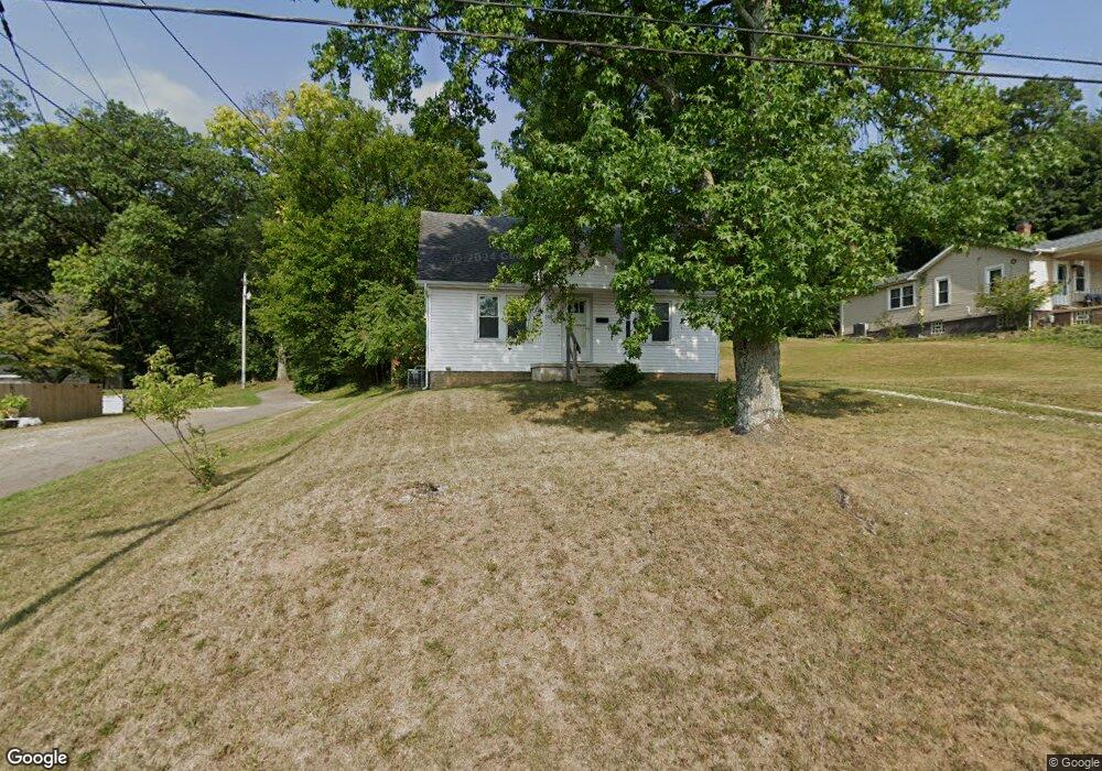
1001 Fay Ave Lancaster, OH 43130
Estimated Value: $170,000 - $194,000
2
Beds
2
Baths
1,170
Sq Ft
$155/Sq Ft
Est. Value
About This Home
This home is located at 1001 Fay Ave, Lancaster, OH 43130 and is currently estimated at $181,644, approximately $155 per square foot. 1001 Fay Ave is a home located in Fairfield County with nearby schools including Thomas Ewing Junior High School, Lancaster High School, and St Mary Elementary School.
Ownership History
Date
Name
Owned For
Owner Type
Purchase Details
Closed on
Apr 6, 2023
Sold by
Azbell Isabella J
Bought by
Watson Wyatt T
Current Estimated Value
Home Financials for this Owner
Home Financials are based on the most recent Mortgage that was taken out on this home.
Original Mortgage
$130,000
Outstanding Balance
$126,420
Interest Rate
6.65%
Mortgage Type
Construction
Estimated Equity
$55,224
Purchase Details
Closed on
Oct 3, 2003
Sold by
Gregory Judy and Estate Of Virginia J Vanmeter
Bought by
Azbell Thomas A
Create a Home Valuation Report for This Property
The Home Valuation Report is an in-depth analysis detailing your home's value as well as a comparison with similar homes in the area
Home Values in the Area
Average Home Value in this Area
Purchase History
| Date | Buyer | Sale Price | Title Company |
|---|---|---|---|
| Watson Wyatt T | $140,000 | None Listed On Document | |
| Azbell Thomas A | $72,500 | -- |
Source: Public Records
Mortgage History
| Date | Status | Borrower | Loan Amount |
|---|---|---|---|
| Open | Watson Wyatt T | $130,000 |
Source: Public Records
Tax History Compared to Growth
Tax History
| Year | Tax Paid | Tax Assessment Tax Assessment Total Assessment is a certain percentage of the fair market value that is determined by local assessors to be the total taxable value of land and additions on the property. | Land | Improvement |
|---|---|---|---|---|
| 2024 | $3,477 | $38,680 | $14,490 | $24,190 |
| 2023 | $1,437 | $38,680 | $14,490 | $24,190 |
| 2022 | $1,412 | $38,680 | $14,490 | $24,190 |
| 2021 | $1,447 | $37,130 | $12,150 | $24,980 |
| 2020 | $1,387 | $37,130 | $12,150 | $24,980 |
| 2019 | $1,318 | $37,130 | $12,150 | $24,980 |
| 2018 | $1,052 | $26,930 | $12,150 | $14,780 |
| 2017 | $1,052 | $28,130 | $10,350 | $17,780 |
| 2016 | $1,025 | $28,130 | $10,350 | $17,780 |
| 2015 | $1,027 | $27,360 | $10,350 | $17,010 |
| 2014 | $978 | $27,360 | $10,350 | $17,010 |
| 2013 | $978 | $27,360 | $10,350 | $17,010 |
Source: Public Records
Map
Nearby Homes
- 716 N Mount Pleasant Ave
- 800 Rutter Ave
- 521 E Allen St
- 700 E Allen St
- 619 N Maple St
- 632 N Eastwood Ave
- 230 Lake St
- 806 N High St
- 831 Franklin Ave
- 600 N Maple St
- 708 N High St
- 404 E 6th Ave
- 620 E 5th Ave
- 711 N High St
- 737 Medill Ave
- 1150 E Fair Ave
- 726 King St
- 534 Overlook Dr NE
- 243 King St
- 100 Wilson Ave