1001 Fieldstown Rd Gardendale, AL 35071
Estimated Value: $231,052 - $383,000
2
Beds
1
Bath
1,638
Sq Ft
$178/Sq Ft
Est. Value
About This Home
This home is located at 1001 Fieldstown Rd, Gardendale, AL 35071 and is currently estimated at $292,263, approximately $178 per square foot. 1001 Fieldstown Rd is a home located in Jefferson County with nearby schools including Gardendale Elementary School, Bragg Middle School, and Gardendale High School.
Ownership History
Date
Name
Owned For
Owner Type
Purchase Details
Closed on
Sep 9, 2005
Sold by
Emrick Spencer R and Emrick Melissa D
Bought by
Ferguson James R
Current Estimated Value
Home Financials for this Owner
Home Financials are based on the most recent Mortgage that was taken out on this home.
Original Mortgage
$125,000
Outstanding Balance
$66,286
Interest Rate
5.71%
Mortgage Type
Purchase Money Mortgage
Estimated Equity
$225,977
Purchase Details
Closed on
Dec 31, 2004
Sold by
Newman James C and Newman Donita Gwyn
Bought by
Emrick Spencer R and Emrick Melissa D
Home Financials for this Owner
Home Financials are based on the most recent Mortgage that was taken out on this home.
Original Mortgage
$157,500
Interest Rate
5.63%
Mortgage Type
Purchase Money Mortgage
Create a Home Valuation Report for This Property
The Home Valuation Report is an in-depth analysis detailing your home's value as well as a comparison with similar homes in the area
Home Values in the Area
Average Home Value in this Area
Purchase History
| Date | Buyer | Sale Price | Title Company |
|---|---|---|---|
| Ferguson James R | $176,000 | None Available | |
| Emrick Spencer R | $175,000 | -- |
Source: Public Records
Mortgage History
| Date | Status | Borrower | Loan Amount |
|---|---|---|---|
| Open | Ferguson James R | $125,000 | |
| Previous Owner | Emrick Spencer R | $157,500 |
Source: Public Records
Tax History Compared to Growth
Tax History
| Year | Tax Paid | Tax Assessment Tax Assessment Total Assessment is a certain percentage of the fair market value that is determined by local assessors to be the total taxable value of land and additions on the property. | Land | Improvement |
|---|---|---|---|---|
| 2024 | $553 | $14,380 | -- | -- |
| 2022 | $744 | $14,380 | $6,870 | $7,510 |
| 2021 | $744 | $14,380 | $6,870 | $7,510 |
| 2020 | $811 | $14,380 | $6,870 | $7,510 |
| 2019 | $811 | $14,380 | $0 | $0 |
| 2018 | $732 | $13,060 | $0 | $0 |
| 2017 | $732 | $13,060 | $0 | $0 |
| 2016 | $732 | $13,060 | $0 | $0 |
| 2015 | $732 | $13,060 | $0 | $0 |
| 2014 | $600 | $12,940 | $0 | $0 |
| 2013 | $600 | $12,940 | $0 | $0 |
Source: Public Records
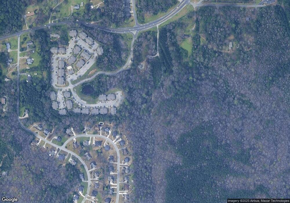
Map
Nearby Homes
- 118 Cluster Springs Cir
- 165 Cluster Springs Cir
- 873 Fieldstown Cir
- 709 Odum Rd
- 890 Fieldstown Cir
- 658 Odum Rd
- 4515 Shady Grove Ln Unit 2
- 4848 Cornelius Dr
- 4507 Shady Grove Rd
- 716 Kerr Dr
- 4555 Eldorado Dr
- 4436 Shady Grove Rd Unit 16n
- 4723 Crestview Dr
- 4681 Northridge Dr
- 4362 Shivas Way Unit 238
- 4358 Shivas Way Unit 239
- 4354 Shivas Way Unit 240
- 4350 Shivas Way Unit 241
- 4674 Northridge Dr
- 4351 Shivas Way Unit 242
- 967 Fieldstown Rd
- 971 Fieldstown Rd
- 100 Chapel Ridge Place
- 122 Cluster Springs Cir
- 126 Cluster Springs Cir
- 130 Cluster Springs Cir
- 1033 Fieldstown Rd
- 114 Cluster Springs Cir
- 123 Cluster Springs Cir
- 110 Cluster Springs Cir
- 134 Cluster Springs Cir
- 113 Cluster Springs Cir
- 129 Cluster Springs Cir
- 957 Fieldstown Rd
- 138 Cluster Springs Cir
- 109 Cluster Springs Cir
- 139 Cluster Springs Cir
- 767 Cluster Springs Rd
- 106 Cluster Springs Cir
- 4500 Cades Cove Dr