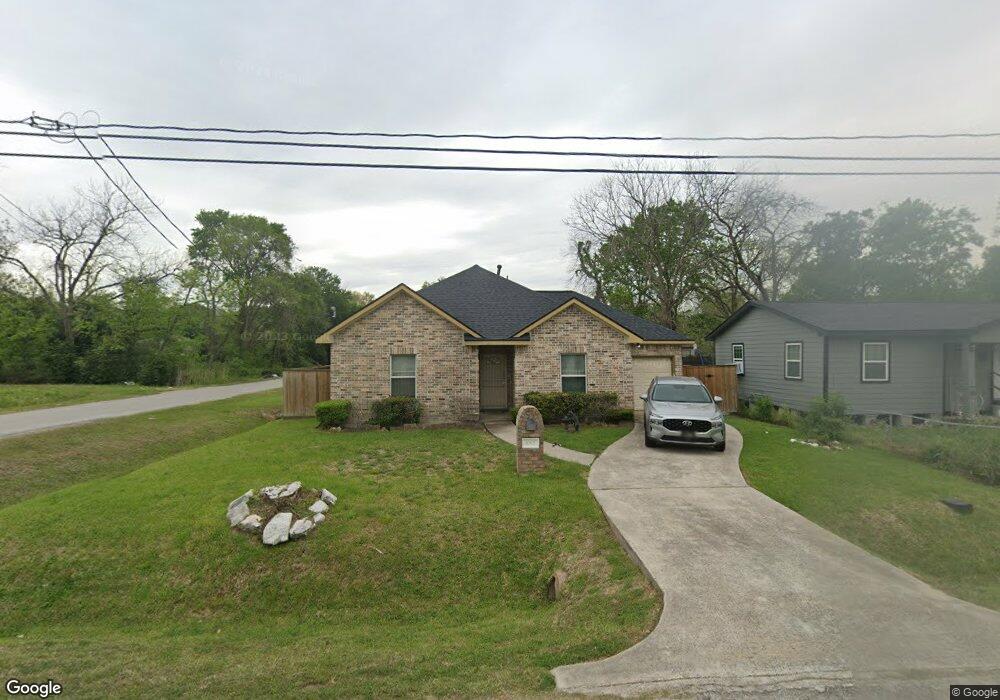
1001 Lucky St Houston, TX 77088
Acres Homes NeighborhoodEstimated Value: $203,000 - $262,000
3
Beds
2
Baths
1,336
Sq Ft
$167/Sq Ft
Est. Value
About This Home
This home is located at 1001 Lucky St, Houston, TX 77088 and is currently estimated at $223,262, approximately $167 per square foot. 1001 Lucky St is a home located in Harris County with nearby schools including Wesley Elementary School, Williams Middle, and Booker T Washington Sr High.
Ownership History
Date
Name
Owned For
Owner Type
Purchase Details
Closed on
Aug 29, 2019
Sold by
Cebrun Sonya
Bought by
Cebrun Michael
Current Estimated Value
Home Financials for this Owner
Home Financials are based on the most recent Mortgage that was taken out on this home.
Original Mortgage
$85,485
Outstanding Balance
$74,878
Interest Rate
3.6%
Mortgage Type
New Conventional
Estimated Equity
$148,384
Purchase Details
Closed on
Jun 9, 2004
Sold by
Smith Emily Curtis and Wilson Thelma Adams
Bought by
Cebrun Michael
Create a Home Valuation Report for This Property
The Home Valuation Report is an in-depth analysis detailing your home's value as well as a comparison with similar homes in the area
Home Values in the Area
Average Home Value in this Area
Purchase History
| Date | Buyer | Sale Price | Title Company |
|---|---|---|---|
| Cebrun Michael | -- | None Available | |
| Cebrun Michael | -- | Houston Title Co |
Source: Public Records
Mortgage History
| Date | Status | Borrower | Loan Amount |
|---|---|---|---|
| Open | Cebrun Michael | $85,485 |
Source: Public Records
Tax History Compared to Growth
Tax History
| Year | Tax Paid | Tax Assessment Tax Assessment Total Assessment is a certain percentage of the fair market value that is determined by local assessors to be the total taxable value of land and additions on the property. | Land | Improvement |
|---|---|---|---|---|
| 2025 | $4,233 | $193,559 | $73,062 | $120,497 |
| 2024 | $4,233 | $202,317 | $73,062 | $129,255 |
| 2023 | $4,233 | $203,974 | $73,062 | $130,912 |
| 2022 | $3,775 | $171,446 | $57,024 | $114,422 |
| 2021 | $3,313 | $142,150 | $37,422 | $104,728 |
| 2020 | $3,114 | $128,583 | $32,076 | $96,507 |
| 2019 | $3,193 | $126,196 | $28,512 | $97,684 |
| 2018 | $2,787 | $110,134 | $16,038 | $94,096 |
| 2017 | $1,859 | $73,503 | $10,692 | $62,811 |
| 2016 | $1,859 | $73,503 | $10,692 | $62,811 |
| 2015 | $1,836 | $71,432 | $10,692 | $60,740 |
| 2014 | $1,836 | $71,432 | $10,692 | $60,740 |
Source: Public Records
Map
Nearby Homes
- 1038 Wall St
- 1037 Wall St
- 0 St Clair Unit 40573378
- 7422 Mount St
- 943 Wall St
- 869 Wall St
- 7428 Wheatley St
- 7434 Wheatley St
- 931 Lucky St
- 1093 Junell St
- 1029 Dolly Wright St
- 7513 Knox St
- 7805 Wheatley St
- 1053 Marjorie St
- 7217 Wheatley St
- 1047 Glenn Ave
- 1053 Glenn Ave
- 957 Ringold St
- 959 Ringold St
- 1052 Marjorie St
- 1009 Lucky St
- 1009 Lucky St Unit B
- 1009 Lucky St Unit A
- 1011 Lucky St Unit B
- 1011 Lucky St Unit A
- 1011 Lucky St Unit A/B
- 1002 Lucky St
- 1013 Lucky St
- 1006 Lucky St
- 977 Lucky St
- 980 Lucky St
- 1010 Wall St
- 971 Lucky St
- 1021 Lucky St
- 1016 Lucky St
- 976 Lucky St
- 1002 Wall St
- 988 Wall St
- 1014 Wall St
- 990 Wall St