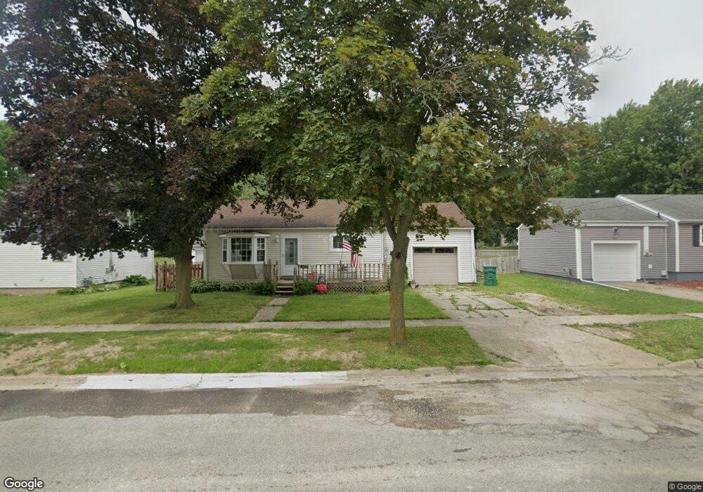
1001 N Dewey St Owosso, MI 48867
Estimated Value: $122,000 - $129,593
2
Beds
1
Bath
696
Sq Ft
$181/Sq Ft
Est. Value
About This Home
This home is located at 1001 N Dewey St, Owosso, MI 48867 and is currently estimated at $125,898, approximately $180 per square foot. 1001 N Dewey St is a home located in Shiawassee County with nearby schools including Owosso High School, Owosso Sda School, and St. Joseph School.
Ownership History
Date
Name
Owned For
Owner Type
Purchase Details
Closed on
Feb 8, 2011
Sold by
Fifth Third Mortgage Company
Bought by
Marr Roy
Current Estimated Value
Purchase Details
Closed on
Jun 30, 2010
Sold by
Camp Cody W
Bought by
Fifth Third Mortgage Company
Purchase Details
Closed on
Jun 9, 2005
Sold by
Marrah Andrea S
Bought by
Camp Cody W
Home Financials for this Owner
Home Financials are based on the most recent Mortgage that was taken out on this home.
Original Mortgage
$97,900
Interest Rate
5.82%
Mortgage Type
FHA
Create a Home Valuation Report for This Property
The Home Valuation Report is an in-depth analysis detailing your home's value as well as a comparison with similar homes in the area
Home Values in the Area
Average Home Value in this Area
Purchase History
| Date | Buyer | Sale Price | Title Company |
|---|---|---|---|
| Marr Roy | $29,500 | -- | |
| Fifth Third Mortgage Company | $32,375 | -- | |
| Camp Cody W | $94,500 | Chicago Title |
Source: Public Records
Mortgage History
| Date | Status | Borrower | Loan Amount |
|---|---|---|---|
| Previous Owner | Camp Cody W | $97,900 |
Source: Public Records
Tax History Compared to Growth
Tax History
| Year | Tax Paid | Tax Assessment Tax Assessment Total Assessment is a certain percentage of the fair market value that is determined by local assessors to be the total taxable value of land and additions on the property. | Land | Improvement |
|---|---|---|---|---|
| 2025 | $1,533 | $51,600 | $0 | $0 |
| 2024 | $1,533 | $47,700 | $0 | $0 |
| 2023 | $964 | $42,700 | $0 | $0 |
| 2022 | $1,483 | $38,600 | $0 | $0 |
| 2021 | $1,407 | $36,900 | $0 | $0 |
| 2020 | $1,452 | $34,000 | $0 | $0 |
| 2019 | $1,433 | $30,600 | $0 | $0 |
| 2018 | -- | $30,000 | $0 | $0 |
| 2017 | -- | $29,200 | $0 | $0 |
| 2016 | -- | $29,200 | $0 | $0 |
| 2015 | -- | $28,900 | $0 | $0 |
| 2014 | -- | $28,100 | $0 | $0 |
Source: Public Records
Map
Nearby Homes
- 1301 Whitehaven Ct
- 1327 Summit St
- 917 N Hickory St
- 601 Stevens Dr
- 714 Wiltshire Dr
- 809 Stevens Dr
- 703 Queen St
- 1473 Mallard Cir
- 637 N Saginaw St
- 538 Dimmick St
- 115 E King St
- 638 N Park St
- 1430 Mallard Cir
- 620 N Park St
- 636 N Washington St
- 1475 N Water St
- 412 N Hickory St
- 415 Dimmick St
- 1002 E Oliver St
- 118 E Oliver St