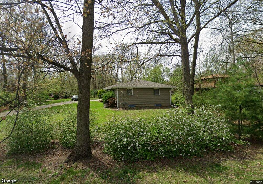
1001 N Elm Dr New Lenox, IL 60451
Estimated Value: $336,000 - $383,144
3
Beds
2
Baths
--
Sq Ft
0.54
Acres
About This Home
This home is located at 1001 N Elm Dr, New Lenox, IL 60451 and is currently estimated at $363,786. 1001 N Elm Dr is a home located in Will County with nearby schools including Oster-Oakview School, Haines Elementary School, and Lincoln Way West.
Ownership History
Date
Name
Owned For
Owner Type
Purchase Details
Closed on
May 21, 2010
Sold by
Olson Carol E and Olson Lauretta Manchester
Bought by
Fattore Peter T
Current Estimated Value
Home Financials for this Owner
Home Financials are based on the most recent Mortgage that was taken out on this home.
Original Mortgage
$160,000
Outstanding Balance
$107,609
Interest Rate
5.12%
Mortgage Type
New Conventional
Estimated Equity
$256,177
Purchase Details
Closed on
Oct 27, 1999
Sold by
Manchester Lauretta
Bought by
Manchester Lauretta and Manchester Lauretta Declaratio
Create a Home Valuation Report for This Property
The Home Valuation Report is an in-depth analysis detailing your home's value as well as a comparison with similar homes in the area
Home Values in the Area
Average Home Value in this Area
Purchase History
| Date | Buyer | Sale Price | Title Company |
|---|---|---|---|
| Fattore Peter T | $200,000 | First American Title | |
| Manchester Lauretta | -- | -- |
Source: Public Records
Mortgage History
| Date | Status | Borrower | Loan Amount |
|---|---|---|---|
| Open | Fattore Peter T | $160,000 |
Source: Public Records
Tax History Compared to Growth
Tax History
| Year | Tax Paid | Tax Assessment Tax Assessment Total Assessment is a certain percentage of the fair market value that is determined by local assessors to be the total taxable value of land and additions on the property. | Land | Improvement |
|---|---|---|---|---|
| 2024 | $7,104 | $95,542 | $27,407 | $68,135 |
| 2023 | $7,104 | $87,094 | $24,984 | $62,110 |
| 2022 | $6,423 | $80,234 | $23,016 | $57,218 |
| 2021 | $6,087 | $75,458 | $21,646 | $53,812 |
| 2020 | $5,908 | $72,766 | $20,874 | $51,892 |
| 2019 | $5,649 | $70,510 | $20,227 | $50,283 |
| 2018 | $5,513 | $68,079 | $19,529 | $48,550 |
| 2017 | $5,233 | $66,122 | $18,968 | $47,154 |
| 2016 | $5,075 | $64,352 | $18,460 | $45,892 |
| 2015 | $4,883 | $62,326 | $17,879 | $44,447 |
| 2014 | $4,883 | $61,556 | $17,658 | $43,898 |
| 2013 | $4,883 | $62,386 | $17,896 | $44,490 |
Source: Public Records
Map
Nearby Homes
- 125 Kimber Dr
- 217 Aspen Dr
- 203 Fir St
- 331 Old Hickory Rd
- 338 Willow St
- 1231 Town Crest Dr Unit E
- 416 Manor Ct Unit B
- 224 Hauser Ct
- 202 Hickory St
- 1344 N Cedar Rd
- Vacant W Maple St
- 574 Prairie Crossing Dr
- 200 Redwood Ave
- 208 Redwood Ave
- 315 S Pine St
- 807 Picardy Place
- 328 E Lincoln Hwy
- 00 NE Corner Cherry Hill Road and Moss Lane Rd
- 1500 Ramp
- 1301 Silver Cross Blvd
- 202 W Wood St
- 209 Hampshire Ct
- 218 W Wood St
- 1002 N Elm Dr
- 217 Hampshire Ct
- 238 W Wood St
- 177 Forest St
- 184 W Wood St
- 180 Forest St
- 225 Hampshire Ct
- LOT12 Hampshire Ct
- Lot 1 Hampshire Ct
- 173 Forest St
- 176 Forest St
- 210 Hampshire Ct
- 202 Hampshire Ct
- 182 W Wood St
- 244 W Wood St
- 228 Hampshire Ct
- 169 Forest St