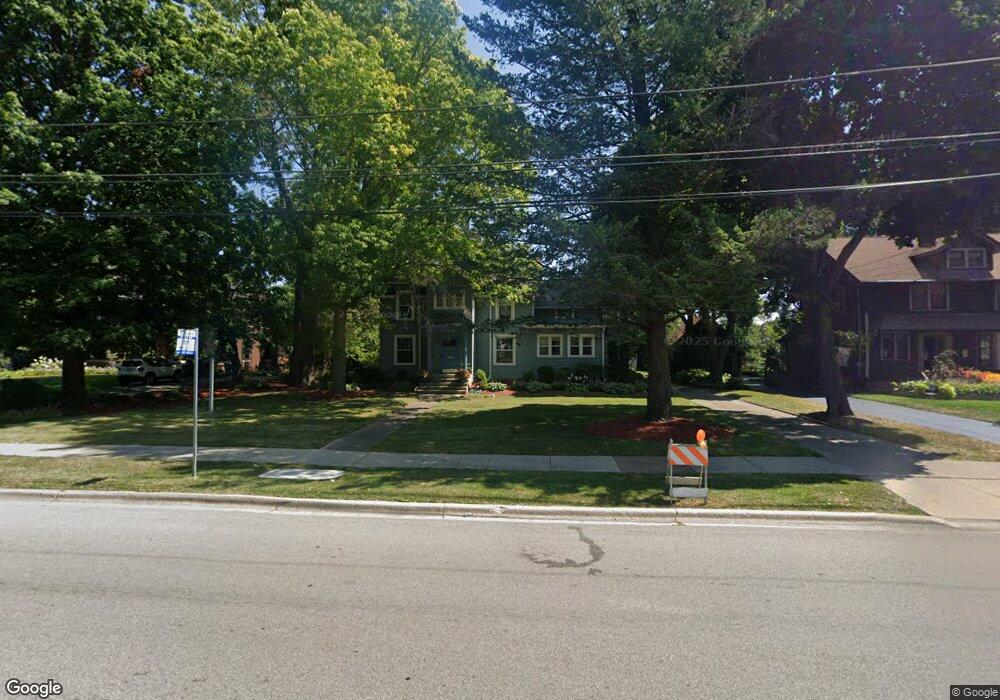
1001 N Sheridan Rd Unit 1001 Waukegan, IL 60085
Estimated Value: $75,000 - $161,000
3
Beds
1
Bath
620
Sq Ft
$166/Sq Ft
Est. Value
About This Home
This home is located at 1001 N Sheridan Rd Unit 1001, Waukegan, IL 60085 and is currently estimated at $103,165, approximately $166 per square foot. 1001 N Sheridan Rd Unit 1001 is a home located in Lake County with nearby schools including Greenwood Elementary School, Edith M Smith Middle School, and Waukegan High School.
Ownership History
Date
Name
Owned For
Owner Type
Purchase Details
Closed on
Feb 28, 2019
Sold by
Manea Adrian G and Manea Petruta A
Bought by
Harbor View Waukegan I Llc
Current Estimated Value
Purchase Details
Closed on
Nov 9, 2016
Sold by
Pnc Bank National Association
Bought by
Manea Adrian G and Manea Petruta A
Purchase Details
Closed on
Jun 3, 2016
Sold by
Ward Richard S
Bought by
Pnc Bank National Association
Create a Home Valuation Report for This Property
The Home Valuation Report is an in-depth analysis detailing your home's value as well as a comparison with similar homes in the area
Home Values in the Area
Average Home Value in this Area
Purchase History
| Date | Buyer | Sale Price | Title Company |
|---|---|---|---|
| Harbor View Waukegan I Llc | $50,000 | North American Title Company | |
| Manea Adrian G | $32,000 | Premier Title | |
| Pnc Bank National Association | -- | None Available |
Source: Public Records
Tax History Compared to Growth
Tax History
| Year | Tax Paid | Tax Assessment Tax Assessment Total Assessment is a certain percentage of the fair market value that is determined by local assessors to be the total taxable value of land and additions on the property. | Land | Improvement |
|---|---|---|---|---|
| 2024 | $1,644 | $20,363 | $2,050 | $18,313 |
| 2023 | $1,630 | $17,438 | $1,756 | $15,682 |
| 2022 | $1,630 | $16,678 | $1,292 | $15,386 |
| 2021 | $1,648 | $15,804 | $1,227 | $14,577 |
| 2020 | $1,669 | $14,723 | $1,143 | $13,580 |
| 2019 | $1,680 | $13,491 | $1,047 | $12,444 |
| 2018 | $1,566 | $13,047 | $1,188 | $11,859 |
| 2017 | $1,642 | $11,543 | $1,051 | $10,492 |
| 2016 | $1,550 | $10,030 | $913 | $9,117 |
| 2015 | $1,516 | $8,977 | $817 | $8,160 |
| 2014 | $1,893 | $11,181 | $1,102 | $10,079 |
| 2012 | $738 | $12,114 | $1,194 | $10,920 |
Source: Public Records
Map
Nearby Homes
- 415 W Ridgeland Ave
- 723 N County St
- 611 N Genesee St
- 325 4th St
- 1110 N Ash St
- 918 N Ash St
- 1336 N Ash St
- 452 North Ave
- 1335 Chestnut St
- 620 N Poplar St
- 702 Franklin St
- 522 N Poplar St
- 222 Grand Ave
- 428 N Poplar St
- 511 Chestnut St
- 917 N Linden Ave
- 616 W Keith Ave
- 1109 Massena Ave
- 1105 Woodlawn Cir
- 1312 N Linden Ave
- 1001 N Sheridan Rd
- 945 N Sheridan Rd
- 1009 N Sheridan Rd
- 1011 N Sheridan Rd
- 1032 N Sheridan Rd Unit 1B
- 1004 N Sheridan Rd
- 1021 N Sheridan Rd
- 1008 N Sheridan Rd
- 946 N Sheridan Rd
- 946 N Sheridan Rd
- 936 N Sheridan Rd
- 927 N Sheridan Rd
- 1018 N Sheridan Rd
- 216 W Ridgeland Ave
- 926 N Sheridan Rd
- 1026 N Sheridan Rd
- 1031 N Sheridan Rd
- 220 W Ridgeland Ave
- 224 W Ridgeland Ave
- 221 W Ridgeland Ave