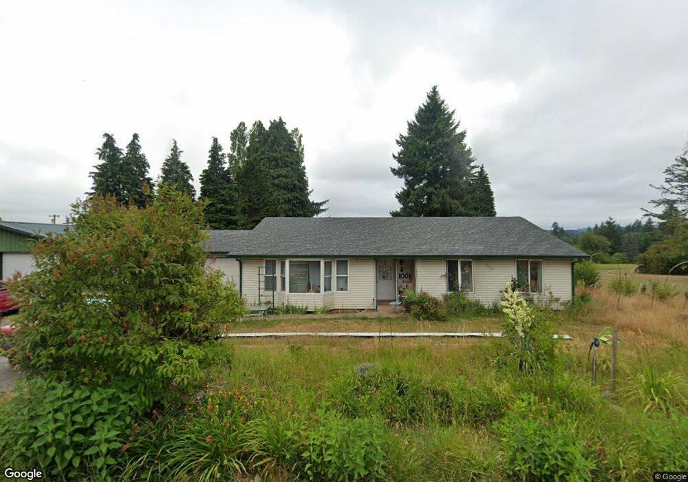
1001 NE Rhoads St Winlock, WA 98596
Estimated Value: $415,000 - $567,000
3
Beds
2
Baths
1,704
Sq Ft
$274/Sq Ft
Est. Value
About This Home
This home is located at 1001 NE Rhoads St, Winlock, WA 98596 and is currently estimated at $467,022, approximately $274 per square foot. 1001 NE Rhoads St is a home located in Lewis County with nearby schools including Winlock Miller Elementary School, Winolequa Learning Academy, and Winlock Middle School.
Ownership History
Date
Name
Owned For
Owner Type
Purchase Details
Closed on
Mar 8, 2013
Sold by
Hsbc Bank Usa Na
Bought by
Simpson Beverly
Current Estimated Value
Purchase Details
Closed on
Oct 12, 2012
Sold by
Green Stacy and Green Aaron S
Bought by
Hsbc Bank Usa Na
Purchase Details
Closed on
Apr 26, 2006
Sold by
Green Aaron S
Bought by
Green Aaron S and Green Stacy
Home Financials for this Owner
Home Financials are based on the most recent Mortgage that was taken out on this home.
Original Mortgage
$134,160
Interest Rate
6.3%
Mortgage Type
New Conventional
Create a Home Valuation Report for This Property
The Home Valuation Report is an in-depth analysis detailing your home's value as well as a comparison with similar homes in the area
Purchase History
| Date | Buyer | Sale Price | Title Company |
|---|---|---|---|
| Simpson Beverly | $77,799 | Lewis County Title | |
| Hsbc Bank Usa Na | $134,000 | Accommodation | |
| Green Aaron S | -- | None Available |
Source: Public Records
Mortgage History
| Date | Status | Borrower | Loan Amount |
|---|---|---|---|
| Previous Owner | Green Aaron S | $134,160 |
Source: Public Records
Tax History
| Year | Tax Paid | Tax Assessment Tax Assessment Total Assessment is a certain percentage of the fair market value that is determined by local assessors to be the total taxable value of land and additions on the property. | Land | Improvement |
|---|---|---|---|---|
| 2024 | $256 | $373,000 | $62,400 | $310,600 |
| 2023 | $2,463 | $350,100 | $51,000 | $299,100 |
| 2022 | $581 | $262,300 | $40,100 | $222,200 |
| 2021 | $595 | $262,300 | $40,100 | $222,200 |
| 2020 | $558 | $243,700 | $35,000 | $208,700 |
| 2019 | $542 | $170,700 | $34,900 | $135,800 |
| 2018 | $1,546 | $145,000 | $30,600 | $114,400 |
| 2017 | $1,393 | $128,300 | $30,600 | $97,700 |
Source: Public Records
Map
Nearby Homes
- 3 Jabez St
- 2 Jabez St
- 1 Jabez St
- 4 Jabez St
- 811 NE 2nd St
- 1205 NW Kerron St
- 0 NE 1st St
- 109 Laurel St
- 2011 Apple Rd
- 1015 Peach Rd
- 501 Pagget Ave
- 701 NW Dexter Ave
- 0 Cemetary Rd
- 197 Washington 505
- 213 Oak St
- 664 Rhoades Rd
- 212 Shannon Lewis Ln
- 210 Shannon Lewis Ln
- 208 Shannon Lewis Ln
- 312 SE Front St
- 210 Jebez St
- 1002 NE Rhoads St
- 0 XX Jabez St
- 912 NE Soland Ct
- 200 Jebez St
- 1008 NE Rhoads St
- 1009 Rhoads St
- 1012 NE Rhoades St
- 1003 Hilltop Rd
- 1005 Hilltop Rd
- 1009 Hilltop Rd
- 1016 NE Rhoads St
- 809 NE 2nd St
- 1002 Hilltop Rd
- 804 NE 2nd St
- 1004 Hilltop Rd
- 0 Rhoades Rd
- 0 Rhoades Rd Unit NWM2338107
- 0 Rhoades Rd Unit NWM970803
Your Personal Tour Guide
Ask me questions while you tour the home.