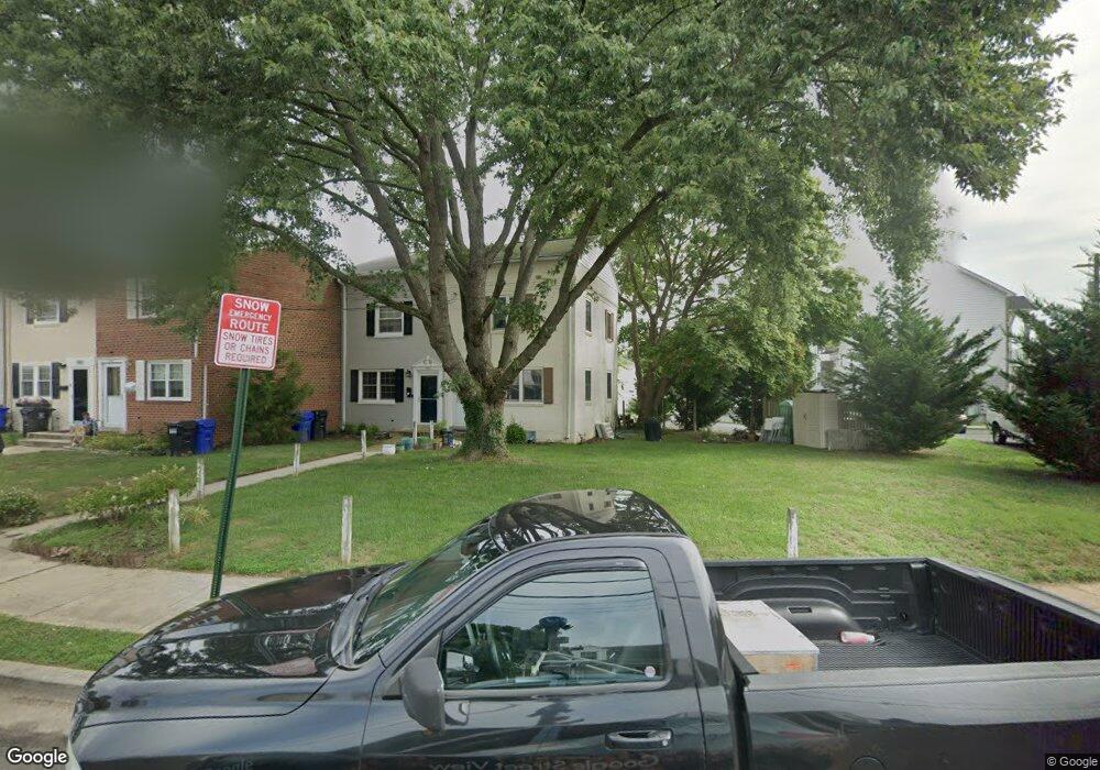
1001 Philip Powers Dr Laurel, MD 20707
Estimated Value: $234,992 - $307,000
Studio
1
Bath
800
Sq Ft
$344/Sq Ft
Est. Value
About This Home
This home is located at 1001 Philip Powers Dr, Laurel, MD 20707 and is currently estimated at $275,498, approximately $344 per square foot. 1001 Philip Powers Dr is a home located in Prince George's County with nearby schools including Laurel Elementary School, Dwight D. Eisenhower Middle School, and Laurel High School.
Ownership History
Date
Name
Owned For
Owner Type
Purchase Details
Closed on
Jul 29, 2013
Sold by
Zupancic Thomas E
Bought by
Zupancic Thomas E and Zupancic May C
Current Estimated Value
Home Financials for this Owner
Home Financials are based on the most recent Mortgage that was taken out on this home.
Original Mortgage
$53,050
Outstanding Balance
$12,898
Interest Rate
4.45%
Mortgage Type
VA
Estimated Equity
$262,600
Purchase Details
Closed on
Jun 28, 2001
Sold by
Murphy Michael J
Bought by
Zupancic Thomas E
Purchase Details
Closed on
Jan 8, 1987
Sold by
Aston Linda S
Bought by
Murphy Michael J and Murphy Theresa A
Create a Home Valuation Report for This Property
The Home Valuation Report is an in-depth analysis detailing your home's value as well as a comparison with similar homes in the area
Home Values in the Area
Average Home Value in this Area
Purchase History
| Date | Buyer | Sale Price | Title Company |
|---|---|---|---|
| Zupancic Thomas E | -- | First American | |
| Zupancic Thomas E | $64,000 | -- | |
| Murphy Michael J | $64,500 | -- |
Source: Public Records
Mortgage History
| Date | Status | Borrower | Loan Amount |
|---|---|---|---|
| Open | Zupancic Thomas E | $53,050 |
Source: Public Records
Tax History
| Year | Tax Paid | Tax Assessment Tax Assessment Total Assessment is a certain percentage of the fair market value that is determined by local assessors to be the total taxable value of land and additions on the property. | Land | Improvement |
|---|---|---|---|---|
| 2025 | $3,300 | $236,800 | $90,000 | $146,800 |
| 2024 | $3,300 | $216,867 | -- | -- |
| 2023 | $3,061 | $196,933 | $0 | $0 |
| 2022 | $2,813 | $177,000 | $75,000 | $102,000 |
| 2021 | $2,723 | $174,233 | $0 | $0 |
| 2020 | $2,686 | $171,467 | $0 | $0 |
| 2019 | $2,643 | $168,700 | $75,000 | $93,700 |
| 2018 | $2,553 | $162,067 | $0 | $0 |
| 2017 | $2,476 | $155,433 | $0 | $0 |
| 2016 | -- | $148,800 | $0 | $0 |
| 2015 | $2,322 | $146,133 | $0 | $0 |
| 2014 | $2,322 | $143,467 | $0 | $0 |
Source: Public Records
Map
Nearby Homes
- 916 Philip Powers Dr
- 1016 Phillip Powers Dr
- 1116 Westview Terrace
- 910 Montgomery St Unit A
- 1103 Montgomery St
- 501 8th St
- 8040 Sandy Spring Rd
- 903 Montrose Ave
- 1012 Ward St
- 1004 Marton St
- 9425 Fairview Ave
- 1028 Ward St
- 9437 Fairview Ave
- 15781 Haynes Rd
- 1000 8th St
- 413 Talbott Ave
- 505A Montgomery St
- 9401 Riverbrink Ct
- 509 4th St
- 15012 Wheatland Place
- 1003 Philip Powers Dr
- 933 Park Ave
- 1005 Philip Powers Dr
- 1007 Philip Powers Dr
- 1009 Philip Powers Dr
- 1011 Philip Powers Dr
- 1013 Philip Powers Dr
- 1015 Philip Powers Dr
- 920 Philip Powers Dr
- 918 Philip Powers Dr
- 1017 Philip Powers Dr
- 310 Grace Way
- 312 Grace Way
- 1019 Philip Powers Dr
- 308 Grace Way
- 1021 Philip Powers Dr
- 914 Philip Powers Dr
- 314 Grace Way
- 1014 Philip Powers Dr
- 926 Park Ave
Your Personal Tour Guide
Ask me questions while you tour the home.