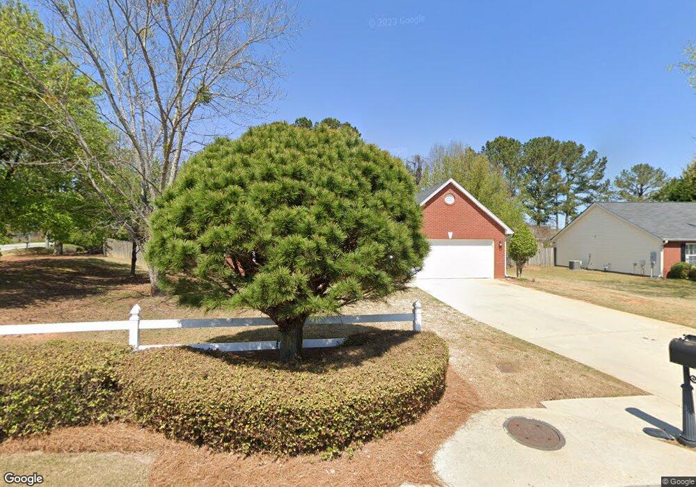
1001 Rolling Meadows Dr Loganville, GA 30052
Estimated Value: $335,021 - $350,000
3
Beds
2
Baths
1,904
Sq Ft
$181/Sq Ft
Est. Value
About This Home
This home is located at 1001 Rolling Meadows Dr, Loganville, GA 30052 and is currently estimated at $344,755, approximately $181 per square foot. 1001 Rolling Meadows Dr is a home located in Gwinnett County with nearby schools including Magill Elementary School, Grace Snell Middle School, and South Gwinnett High School.
Ownership History
Date
Name
Owned For
Owner Type
Purchase Details
Closed on
Oct 29, 1999
Sold by
Taylor Knox Homes Inc
Bought by
Roberts Alysia R
Current Estimated Value
Home Financials for this Owner
Home Financials are based on the most recent Mortgage that was taken out on this home.
Original Mortgage
$127,350
Outstanding Balance
$37,581
Interest Rate
7.76%
Mortgage Type
VA
Estimated Equity
$307,174
Create a Home Valuation Report for This Property
The Home Valuation Report is an in-depth analysis detailing your home's value as well as a comparison with similar homes in the area
Home Values in the Area
Average Home Value in this Area
Purchase History
| Date | Buyer | Sale Price | Title Company |
|---|---|---|---|
| Roberts Alysia R | $124,900 | -- |
Source: Public Records
Mortgage History
| Date | Status | Borrower | Loan Amount |
|---|---|---|---|
| Open | Roberts Alysia R | $127,350 |
Source: Public Records
Tax History Compared to Growth
Tax History
| Year | Tax Paid | Tax Assessment Tax Assessment Total Assessment is a certain percentage of the fair market value that is determined by local assessors to be the total taxable value of land and additions on the property. | Land | Improvement |
|---|---|---|---|---|
| 2025 | $3,472 | $126,040 | $30,000 | $96,040 |
| 2024 | $3,454 | $119,280 | $30,000 | $89,280 |
| 2023 | $3,454 | $124,040 | $29,680 | $94,360 |
| 2022 | $3,089 | $103,440 | $22,000 | $81,440 |
| 2021 | $2,582 | $77,520 | $16,000 | $61,520 |
| 2020 | $2,393 | $68,000 | $14,000 | $54,000 |
| 2019 | $2,325 | $68,000 | $14,000 | $54,000 |
| 2018 | $2,230 | $63,720 | $12,000 | $51,720 |
| 2016 | $2,132 | $58,160 | $9,600 | $48,560 |
| 2015 | $1,716 | $44,200 | $9,600 | $34,600 |
| 2014 | $1,724 | $44,200 | $9,600 | $34,600 |
Source: Public Records
Map
Nearby Homes
- 1107 Kingston Hill Dr Unit 52-B
- 996 Lakeview Oaks Ct Unit 25-B
- 996 Lakeview Oaks Ct
- 3315 Linstead Ct
- 3315 Linstead Ct Unit 2A
- 3765 Brushy Wood Dr
- 1210 Burning Bush Dr
- The Auburn Plan at
- The Jefferson Plan at
- The Montrose Plan at
- The Edison Plan at
- The Pearson Plan at
- The Tifton Plan at
- The Weston Plan at
- The Wesley Plan at
- The Denton Plan at
- 3769 Tielman St
- 1245 Shamrock Hill Cir Unit 1
- 3792 Tielman St
- 3819 Tielman St
- 991 Rolling Meadows Dr
- 3500 Brushy Fork Rd
- 981 Rolling Meadows Dr
- 998 Rolling Meadows Dr
- 3509 Brushy Fork Rd
- 3490 Brushy Fork Rd
- 3665 Brushy Wood Dr
- 3519 Brushy Fork Rd
- 971 Rolling Meadows Dr
- 988 Rolling Meadows Dr
- 3655 Brushy Wood Dr Unit 6
- 3655 Brushy Wood Dr
- 3480 Brushy Fork Rd
- 979 Stepp Ct
- 3645 Brushy Wood Dr Unit 2
- 978 Rolling Meadows Dr
- 3470 Brushy Fork Rd
- 3529 Brushy Fork Rd
- 3670 Brushy Wood Dr
- 3660 Brushy Wood Dr