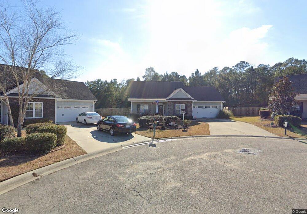
1001 Slater Way Leland, NC 28451
Estimated Value: $336,000 - $357,000
3
Beds
3
Baths
1,450
Sq Ft
$239/Sq Ft
Est. Value
About This Home
This home is located at 1001 Slater Way, Leland, NC 28451 and is currently estimated at $346,545, approximately $238 per square foot. 1001 Slater Way is a home located in Brunswick County with nearby schools including Town Creek Elementary School, North Brunswick High School, and Classical Charter Schools of Leland.
Ownership History
Date
Name
Owned For
Owner Type
Purchase Details
Closed on
Jun 12, 2009
Sold by
Logan Developers Inc
Bought by
Bessette Kevin P and Bessette Lori
Current Estimated Value
Home Financials for this Owner
Home Financials are based on the most recent Mortgage that was taken out on this home.
Original Mortgage
$212,364
Outstanding Balance
$134,319
Interest Rate
4.79%
Mortgage Type
Purchase Money Mortgage
Estimated Equity
$212,226
Create a Home Valuation Report for This Property
The Home Valuation Report is an in-depth analysis detailing your home's value as well as a comparison with similar homes in the area
Home Values in the Area
Average Home Value in this Area
Purchase History
| Date | Buyer | Sale Price | Title Company |
|---|---|---|---|
| Bessette Kevin P | $204,500 | None Available |
Source: Public Records
Mortgage History
| Date | Status | Borrower | Loan Amount |
|---|---|---|---|
| Open | Bessette Kevin P | $212,364 |
Source: Public Records
Tax History Compared to Growth
Tax History
| Year | Tax Paid | Tax Assessment Tax Assessment Total Assessment is a certain percentage of the fair market value that is determined by local assessors to be the total taxable value of land and additions on the property. | Land | Improvement |
|---|---|---|---|---|
| 2025 | $2,166 | $321,160 | $60,000 | $261,160 |
| 2024 | $2,166 | $321,160 | $60,000 | $261,160 |
| 2023 | $1,549 | $321,160 | $60,000 | $261,160 |
| 2022 | $1,549 | $188,300 | $31,500 | $156,800 |
| 2021 | $1,549 | $188,300 | $31,500 | $156,800 |
| 2020 | $1,474 | $188,300 | $31,500 | $156,800 |
| 2019 | $1,459 | $34,940 | $31,500 | $3,440 |
| 2018 | $1,335 | $30,280 | $26,250 | $4,030 |
| 2017 | $1,335 | $30,280 | $26,250 | $4,030 |
| 2016 | $1,264 | $30,280 | $26,250 | $4,030 |
| 2015 | $1,208 | $174,130 | $26,250 | $147,880 |
| 2014 | $1,181 | $181,974 | $36,750 | $145,224 |
Source: Public Records
Map
Nearby Homes
- 2101 Lapham
- 2116 Lapham Dr
- 386 Southbend Ct
- 2132 Lapham Dr
- 2456 Tara Forest Dr
- 1220 Slater Way
- 3125 Thistlewood Dr NE
- 1128 Stone Moss Ct
- 1276 Newbold Dr #84
- 1272 Newbold Dr #83
- 7121 Fisk NE Unit 46
- 7121 Fisk Dr #46
- 7125 Fisk Dr # 47
- 7439 Julius Dr # 88
- 7447 Julius Dr #86
- 7451 Julius Dr #85
- 7109 Fisk Dr #43
- 7415
- 8525 Primm Forest Dr NE
- 1031 W West Cove Loop
- 1000 Slater Way
- 1005 Slater Way
- 1004 Slater Way
- 169 Watersfield Rd
- 165 Watersfield Rd
- 1008 Slater Way
- 161 Watersfield Rd
- 157 Watersfield Rd
- 1024 Slater Way
- 164 Waterfield Rd
- 164 Watersfield Rd
- 153 Watersfield Rd
- 160 Watersfield Rd
- 1028 Slater Way
- 156 Watersfield Rd
- 1032 Slater Way
- 1033 Slater Way
- 148 Watersfield Rd
- 1040 Slater Way
- 147 Watersfield Rd