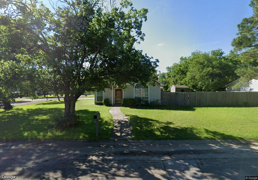
1001 W Lone Star Ave Cleburne, TX 76033
Estimated Value: $234,000 - $271,000
4
Beds
3
Baths
1,564
Sq Ft
$161/Sq Ft
Est. Value
About This Home
This home is located at 1001 W Lone Star Ave, Cleburne, TX 76033 and is currently estimated at $252,039, approximately $161 per square foot. 1001 W Lone Star Ave is a home located in Johnson County with nearby schools including Cooke Elementary School, A.D. Wheat Middle School, and Cleburne High School.
Ownership History
Date
Name
Owned For
Owner Type
Purchase Details
Closed on
Apr 8, 2005
Sold by
Felkins David and Felkins Angela
Bought by
Thompson Darrell G
Current Estimated Value
Home Financials for this Owner
Home Financials are based on the most recent Mortgage that was taken out on this home.
Original Mortgage
$113,000
Interest Rate
5.79%
Mortgage Type
New Conventional
Create a Home Valuation Report for This Property
The Home Valuation Report is an in-depth analysis detailing your home's value as well as a comparison with similar homes in the area
Home Values in the Area
Average Home Value in this Area
Purchase History
| Date | Buyer | Sale Price | Title Company |
|---|---|---|---|
| Thompson Darrell G | -- | Stewart Title North Texas In |
Source: Public Records
Mortgage History
| Date | Status | Borrower | Loan Amount |
|---|---|---|---|
| Previous Owner | Thompson Darrell G | $113,000 |
Source: Public Records
Tax History Compared to Growth
Tax History
| Year | Tax Paid | Tax Assessment Tax Assessment Total Assessment is a certain percentage of the fair market value that is determined by local assessors to be the total taxable value of land and additions on the property. | Land | Improvement |
|---|---|---|---|---|
| 2025 | $3,162 | $203,425 | $29,500 | $173,925 |
| 2024 | $4,536 | $203,425 | $29,500 | $173,925 |
| 2023 | $3,169 | $203,425 | $29,500 | $173,925 |
| 2022 | $4,741 | $203,425 | $29,500 | $173,925 |
| 2021 | $4,493 | $203,425 | $29,500 | $173,925 |
| 2020 | $4,338 | $193,925 | $20,000 | $173,925 |
| 2019 | $4,206 | $193,925 | $20,000 | $173,925 |
| 2018 | $3,825 | $129,392 | $28,000 | $101,392 |
| 2017 | $3,809 | $129,392 | $28,000 | $101,392 |
| 2016 | $3,593 | $122,045 | $16,000 | $106,045 |
| 2015 | $2,924 | $122,045 | $16,000 | $106,045 |
| 2014 | $2,924 | $122,045 | $16,000 | $106,045 |
Source: Public Records
Map
Nearby Homes
- 807 Poindexter Ave
- 107 Woodard Ave
- 800 Madison St
- 916 Poindexter Ave
- 701 Poindexter Ave
- 704 Graham St
- 1103 N Walnut St
- 502 Bales St
- 1307 Joslin St
- 607 N Wood St
- 805 Marengo St
- 1204 N Wood St
- 902 Turner St
- 618 Granbury St
- 1123 Bales St
- 104 Dixon St
- 808 Marengo St
- 308 Poindexter Ave
- 418 Marengo St
- 1006 Princeton Place
- 1005 W Lone Star Ave
- 609 Madison St
- 911 W Lone Star Ave
- 701 Madison St
- 1007 W Lone Star Ave
- 1004 W Lone Star Ave
- 1006 W Lone Star Ave
- 912 W Lone Star Ave
- 610 Madison St
- 909 W Lone Star Ave
- 1009 W Lone Star Ave
- 608 Madison St
- 604 Madison St
- 910 W Lone Star Ave
- 1008 W Lone Star Ave
- 907 W Lone Star Ave
- 1011 W Lone Star Ave
- 705 Madison St
- 210 Woodard Ave
- 706 Madison St