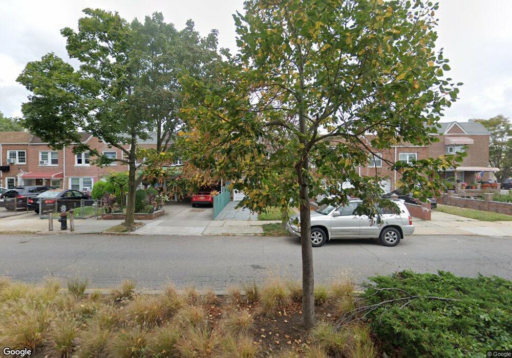
10011 133rd Ave Ozone Park, NY 11417
South Ozone Park NeighborhoodEstimated Value: $655,240 - $718,000
--
Bed
--
Bath
1,400
Sq Ft
$493/Sq Ft
Est. Value
About This Home
This home is located at 10011 133rd Ave, Ozone Park, NY 11417 and is currently estimated at $690,560, approximately $493 per square foot. 10011 133rd Ave is a home located in Queens County with nearby schools including P.S. 108 - Capt. Vincent G. Fowler, M.S.137 America's School of Heroes, and John Adams High School.
Ownership History
Date
Name
Owned For
Owner Type
Purchase Details
Closed on
Dec 13, 2005
Sold by
Arduino Premises Trust and Arduino As Trustee Anthony G
Bought by
Arduino Anthony G
Current Estimated Value
Purchase Details
Closed on
Sep 5, 2002
Sold by
Arduino Rose C
Bought by
Arduino Anthony G and Arduino Premises Trust (
Create a Home Valuation Report for This Property
The Home Valuation Report is an in-depth analysis detailing your home's value as well as a comparison with similar homes in the area
Home Values in the Area
Average Home Value in this Area
Purchase History
| Date | Buyer | Sale Price | Title Company |
|---|---|---|---|
| Arduino Anthony G | -- | -- | |
| Arduino Anthony G | -- | -- | |
| Arduino Anthony G | -- | -- | |
| Arduino Anthony G | -- | -- |
Source: Public Records
Tax History Compared to Growth
Tax History
| Year | Tax Paid | Tax Assessment Tax Assessment Total Assessment is a certain percentage of the fair market value that is determined by local assessors to be the total taxable value of land and additions on the property. | Land | Improvement |
|---|---|---|---|---|
| 2025 | $6,475 | $33,437 | $10,527 | $22,910 |
| 2024 | $6,475 | $32,237 | $11,116 | $21,121 |
| 2023 | $6,177 | $30,413 | $10,138 | $20,275 |
| 2022 | $5,778 | $33,720 | $12,600 | $21,120 |
| 2021 | $5,864 | $35,220 | $12,600 | $22,620 |
| 2020 | $5,898 | $32,220 | $12,600 | $19,620 |
| 2019 | $4,961 | $31,080 | $12,600 | $18,480 |
| 2018 | $4,507 | $25,344 | $9,893 | $15,451 |
| 2017 | $4,271 | $24,120 | $12,600 | $11,520 |
| 2016 | $4,021 | $24,120 | $12,600 | $11,520 |
| 2015 | $2,409 | $23,270 | $13,657 | $9,613 |
| 2014 | $2,409 | $22,387 | $13,008 | $9,379 |
Source: Public Records
Map
Nearby Homes
- 132-01 100th St
- 10010 133rd Ave
- 107-48 101st St
- 13318 Centreville St
- 132-11 Centreville St
- 10317 Plattwood Ave
- 13421 Hawtree St
- 107-16 103rd St
- 10416 Rosita Rd
- 107-19 96th St
- 9439 134th Ave
- 9426 Sutter Ave
- 110-35 107th St
- 10712 Sutter Ave
- 95-18 Linden Blvd
- 10719 Sutter Ave
- 137-21 Centreville St
- 150-06 Hawtree St
- 10370 103rd St
- 9704 Pitkin Ave
- 10013 133rd Ave
- 10013 133rd Ave
- 10009 133rd Ave
- 10015 133rd Ave
- 10007 133rd Ave
- 100-15 133rd Ave
- 10005 133rd Ave
- 10005 133rd Ave
- 100-05 133rd Ave
- 10017 133rd Ave
- 13210 101st St
- 10003 133rd Ave
- 132-04 101st St
- 132-10 101st St
- 100-03 133rd Ave
- 13207 100th St
- 13208 101st St
- 10001 133rd Ave
- 13206 101st St
- 13205 100th St