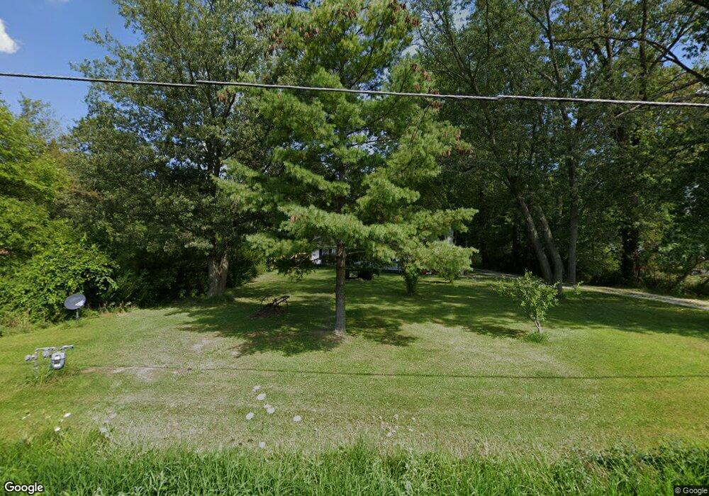
10011 Mitchell Rd Columbia Station, OH 44028
Estimated Value: $264,891 - $588,000
3
Beds
2
Baths
2,722
Sq Ft
$144/Sq Ft
Est. Value
About This Home
This home is located at 10011 Mitchell Rd, Columbia Station, OH 44028 and is currently estimated at $391,223, approximately $143 per square foot. 10011 Mitchell Rd is a home located in Lorain County with nearby schools including Olmsted Falls Intermediate Building, Falls-Lenox Primary Elementary School, and Olmsted Falls Middle School.
Ownership History
Date
Name
Owned For
Owner Type
Purchase Details
Closed on
May 21, 2004
Sold by
Roberts Denise N
Bought by
Roberts Alan K and Roberts Denise N
Current Estimated Value
Home Financials for this Owner
Home Financials are based on the most recent Mortgage that was taken out on this home.
Original Mortgage
$135,000
Interest Rate
5.91%
Mortgage Type
Stand Alone Refi Refinance Of Original Loan
Create a Home Valuation Report for This Property
The Home Valuation Report is an in-depth analysis detailing your home's value as well as a comparison with similar homes in the area
Home Values in the Area
Average Home Value in this Area
Purchase History
| Date | Buyer | Sale Price | Title Company |
|---|---|---|---|
| Roberts Alan K | -- | Cardinal Title Co Of Ohio In |
Source: Public Records
Mortgage History
| Date | Status | Borrower | Loan Amount |
|---|---|---|---|
| Closed | Roberts Alan K | $135,000 |
Source: Public Records
Tax History Compared to Growth
Tax History
| Year | Tax Paid | Tax Assessment Tax Assessment Total Assessment is a certain percentage of the fair market value that is determined by local assessors to be the total taxable value of land and additions on the property. | Land | Improvement |
|---|---|---|---|---|
| 2024 | $2,214 | $48,916 | $11,340 | $37,576 |
| 2023 | $3,287 | $57,806 | $17,973 | $39,834 |
| 2022 | $3,217 | $57,806 | $17,973 | $39,834 |
| 2021 | $3,217 | $57,806 | $17,973 | $39,834 |
| 2020 | $3,253 | $52,890 | $16,440 | $36,450 |
| 2019 | $2,903 | $52,890 | $16,440 | $36,450 |
| 2018 | $2,919 | $52,890 | $16,440 | $36,450 |
| 2017 | $3,021 | $51,150 | $15,240 | $35,910 |
| 2016 | $3,045 | $51,150 | $15,240 | $35,910 |
| 2015 | $3,064 | $51,150 | $15,240 | $35,910 |
| 2014 | $3,041 | $51,150 | $15,240 | $35,910 |
| 2013 | $3,042 | $51,150 | $15,240 | $35,910 |
Source: Public Records
Map
Nearby Homes
- 26571 Sprague Rd
- 9628 Kingston Trail
- 27167 Watkin Rd
- 9954 Ethan Dr
- 8860 Sharp Rd
- 33700 Henwell Rd
- 33621 Henwell Rd
- 0 V L Schady Rd Unit 5163658
- 33743 Henwell Rd
- 8706 Stearns Rd
- 8481 Jennings Rd
- 9129 Riverwood Dr
- 9113 Riverwood Dr
- 27056 Sprague Rd
- 9032 Riverwood Dr
- 32017 Cottonwood Crest
- 8727 Hazelwood Run
- 33110 Wren Haven Cir
- 9130 Devonshire Dr
- 9112 Devonshire Dr
- 10063 Mitchell Rd
- 9939 Mitchell Rd
- 9913 Mitchell Rd
- 10123 Mitchell Rd
- 9879 Mitchell Rd
- 10167 Mitchell Rd
- 10030 Mitchell Rd
- 27211 Sprague Rd
- 9837 Mitchell Rd
- 27191 Sprague Rd
- 9836 Mitchell Rd
- 10180 Mitchell Rd
- 27139 Sprague Rd
- 27179 Sprague Rd
- 10229 Mitchell Rd
- 10214 Mitchell Rd
- 10150 Mitchell Rd
- 10228 Mitchell Rd
- 27077 Sprague Rd
- 10279 Mitchell Rd