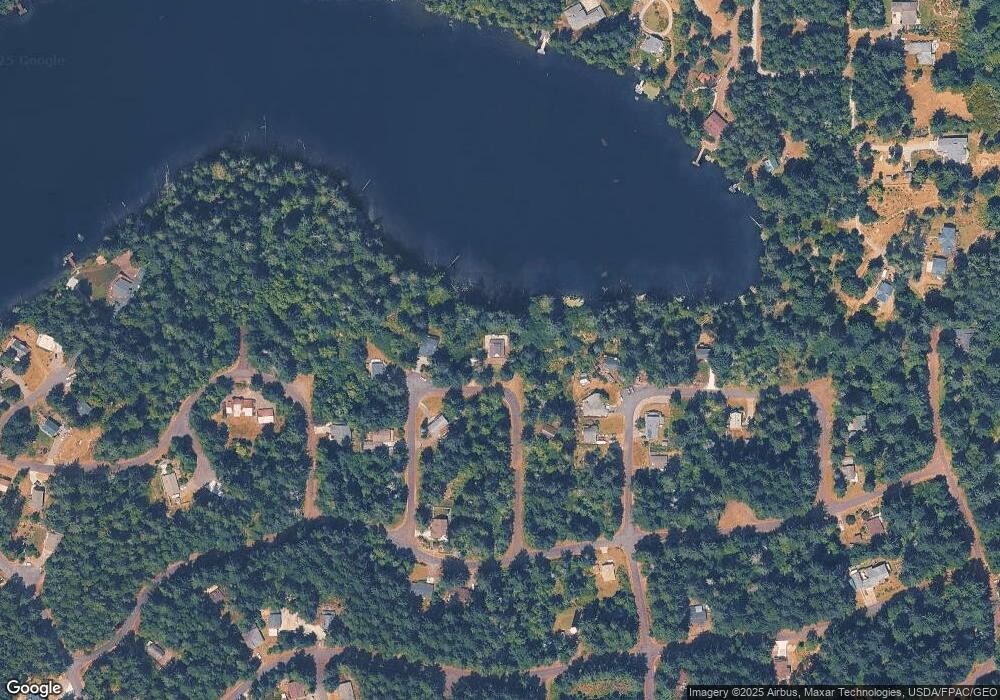
10011 Selma Cir Anderson Island, WA 98303
Estimated Value: $463,791 - $551,000
3
Beds
2
Baths
1,584
Sq Ft
$313/Sq Ft
Est. Value
About This Home
This home is located at 10011 Selma Cir, Anderson Island, WA 98303 and is currently estimated at $495,698, approximately $312 per square foot. 10011 Selma Cir is a home located in Pierce County with nearby schools including Anderson Island Elementary School, Pioneer Middle School, and Steilacoom High School.
Ownership History
Date
Name
Owned For
Owner Type
Purchase Details
Closed on
Nov 13, 2020
Sold by
Howell Megan D
Bought by
Howell David A
Current Estimated Value
Purchase Details
Closed on
Dec 1, 2016
Sold by
Howell Megan D and Howell David A
Bought by
Howell Megan D and Howell David A
Purchase Details
Closed on
Nov 15, 2004
Sold by
Ullis John J
Bought by
Pendley Brian Anthony and Pendley Sandy Elaine
Purchase Details
Closed on
Oct 27, 2004
Sold by
Ullis Family Partnership
Bought by
Ullis John and Ullis Susan
Purchase Details
Closed on
Dec 27, 2001
Sold by
Ullis John
Bought by
Ullis Family Partnership
Create a Home Valuation Report for This Property
The Home Valuation Report is an in-depth analysis detailing your home's value as well as a comparison with similar homes in the area
Home Values in the Area
Average Home Value in this Area
Purchase History
| Date | Buyer | Sale Price | Title Company |
|---|---|---|---|
| Howell David A | -- | None Available | |
| Howell Megan D | -- | None Available | |
| Pendley Brian Anthony | $37,500 | Multiple | |
| Ullis John | -- | -- | |
| Ullis Family Partnership | -- | -- |
Source: Public Records
Tax History Compared to Growth
Tax History
| Year | Tax Paid | Tax Assessment Tax Assessment Total Assessment is a certain percentage of the fair market value that is determined by local assessors to be the total taxable value of land and additions on the property. | Land | Improvement |
|---|---|---|---|---|
| 2025 | $4,395 | $427,000 | $107,300 | $319,700 |
| 2024 | $4,395 | $412,400 | $117,200 | $295,200 |
| 2023 | $4,395 | $415,000 | $117,200 | $297,800 |
| 2022 | $3,538 | $393,500 | $110,900 | $282,600 |
| 2021 | $3,622 | $281,400 | $56,200 | $225,200 |
| 2019 | $3,037 | $256,200 | $46,400 | $209,800 |
| 2018 | $2,989 | $228,700 | $34,600 | $194,100 |
| 2017 | $2,551 | $199,400 | $26,200 | $173,200 |
| 2016 | $2,382 | $155,800 | $21,500 | $134,300 |
| 2014 | $2,291 | $158,700 | $26,500 | $132,200 |
| 2013 | $2,291 | $142,000 | $16,000 | $126,000 |
Source: Public Records
Map
Nearby Homes
- 10519 Suncrest Dr
- 10824 Suncrest Dr
- 10114 Selma Cir
- 10018 Selma Cir
- 10102 104th Ave
- 10419 Matthews Way
- 11018 Matthews Way
- 11026 Matthews Way
- 10315 107th Avenue Ct
- 10915 Matthews Way
- 10121 Totem Way
- 10325 Totem Way
- 10312 Matthews Way
- 10424 107th Avenue Ct
- 10111 Totem Way
- 10125 Totem Way Unit AI
- 11024 Matthews Way
- 11104 Matthews Way
- 11116 Matthews Way
- 10718 Trout Place W
- 10007 Selma Cir
- 10019 Selma Cir
- 10105 Selma Cir
- 10008 Paine Rd Unit AI
- 10009 Selma Cir
- 10016 Paine Rd Unit AI
- 10110 Selma Cir
- 10020 Paine Rd Unit AI
- 10024 Paine Rd Unit AI
- 10113 Selma Cir
- 10026 Selma Cir Unit AI
- 10015 108th Avenue Ct
- 10521 100th Street Ct
- 10521 100th Street Ct
- 10520 100th Street Ct Unit AI
- 10108 Selma Cir
- 10109 Selma Cir
- 10717 Suncrest Dr
- 10707 Suncrest Dr Unit AI
- 10023 Selma Cir
