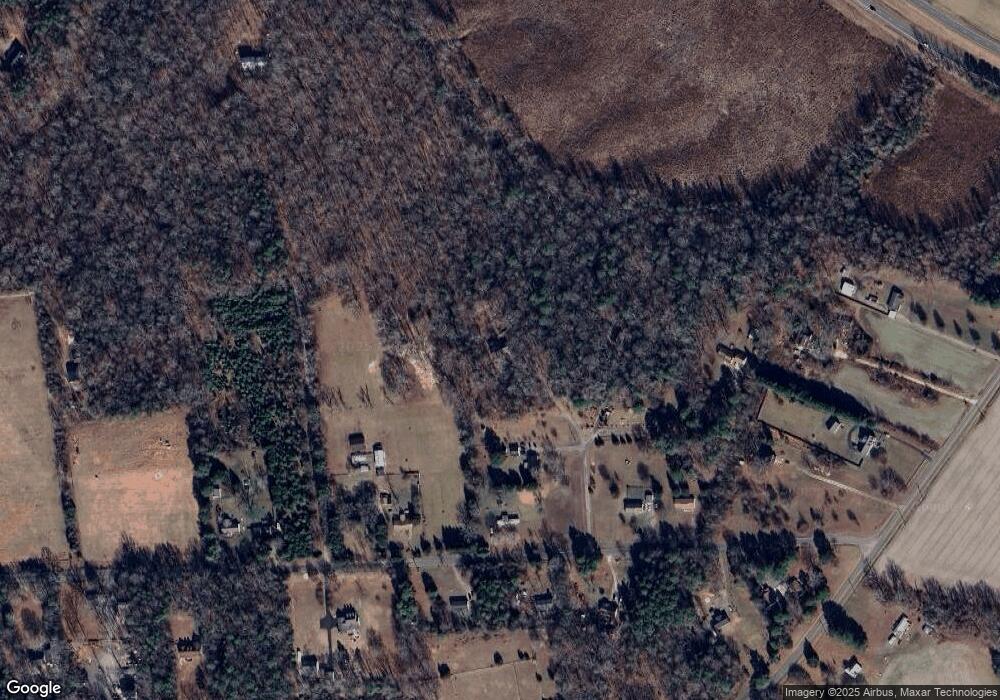
10012 Catfish Ln Gloucester, VA 23061
Estimated Value: $485,738 - $541,000
3
Beds
3
Baths
2,340
Sq Ft
$220/Sq Ft
Est. Value
About This Home
This home is located at 10012 Catfish Ln, Gloucester, VA 23061 and is currently estimated at $515,935, approximately $220 per square foot. 10012 Catfish Ln is a home located in Gloucester County with nearby schools including Petsworth Elementary School, Peasley Middle School, and Gloucester High School.
Ownership History
Date
Name
Owned For
Owner Type
Purchase Details
Closed on
Jul 1, 2021
Sold by
Mouser Ann M
Bought by
Winter Steven Michael and Winter Shelly Marie
Current Estimated Value
Home Financials for this Owner
Home Financials are based on the most recent Mortgage that was taken out on this home.
Original Mortgage
$190,000
Outstanding Balance
$172,021
Interest Rate
2.9%
Mortgage Type
New Conventional
Estimated Equity
$343,914
Create a Home Valuation Report for This Property
The Home Valuation Report is an in-depth analysis detailing your home's value as well as a comparison with similar homes in the area
Home Values in the Area
Average Home Value in this Area
Purchase History
| Date | Buyer | Sale Price | Title Company |
|---|---|---|---|
| Winter Steven Michael | $390,000 | Title Resources Guaranty Co |
Source: Public Records
Mortgage History
| Date | Status | Borrower | Loan Amount |
|---|---|---|---|
| Open | Winter Steven Michael | $190,000 |
Source: Public Records
Tax History Compared to Growth
Tax History
| Year | Tax Paid | Tax Assessment Tax Assessment Total Assessment is a certain percentage of the fair market value that is determined by local assessors to be the total taxable value of land and additions on the property. | Land | Improvement |
|---|---|---|---|---|
| 2025 | $2,169 | $353,270 | $57,560 | $295,710 |
| 2024 | $2,169 | $353,270 | $57,560 | $295,710 |
| 2023 | $2,060 | $353,270 | $57,560 | $295,710 |
| 2022 | $2,124 | $292,930 | $71,540 | $221,390 |
| 2021 | $2,037 | $293,040 | $71,540 | $221,500 |
| 2020 | $2,037 | $293,040 | $71,540 | $221,500 |
| 2019 | $2,072 | $298,110 | $71,540 | $226,570 |
| 2017 | $2,072 | $298,110 | $71,540 | $226,570 |
| 2016 | $2,140 | $307,900 | $102,200 | $205,700 |
| 2015 | $2,094 | $306,200 | $70,500 | $235,700 |
| 2014 | $1,990 | $306,200 | $70,500 | $235,700 |
Source: Public Records
Map
Nearby Homes
- 3412 Woodstock Rd
- 0 Bacons Ln
- 9247 Marlfield Rd
- 25+AC Millers Landing Rd
- 9155 Marlfield Rd
- 9016 Marlfield Rd
- LOT 11 Marlfield Rd
- 6.9ac Lethia Ln
- 0 Lethia Ln
- LOT 25 Stream Dr
- .51+AC Stream Dr
- 4380 Roanes Quarter Ln
- 8884 Marlfield Rd
- 8855 Marlfield Rd
- .26+AC Poplar Springs Dr
- Lot 79 Poplar Springs Dr
- 9180 Poropotank River Rd
- 00 Plainview Dr
- 16.4ac Plainview Dr
- 0 S George Washington Memorial Hwy Unit 2509257
- 10016 Catfish Ln
- 10002 Catfish Ln
- 3743 Woodstock Rd
- 3777 Woodstock Rd
- 3709 Woodstock Rd
- 3703 Woodstock Rd
- 10036 Catfish Ln
- 3797 Woodstock Rd
- 3750 Woodstock Rd
- 3716 Woodstock Rd
- 3770 Woodstock Rd
- 9782 Davenport Rd
- 3667 Woodstock Rd
- 9810 Davenport Rd
- 3696 Woodstock Rd
- 3655 Woodstock Rd
- 9798 Davenport Rd
- 9718 Davenport Rd
- 3844 Woodstock Rd
- 3697 Woodstock Rd
