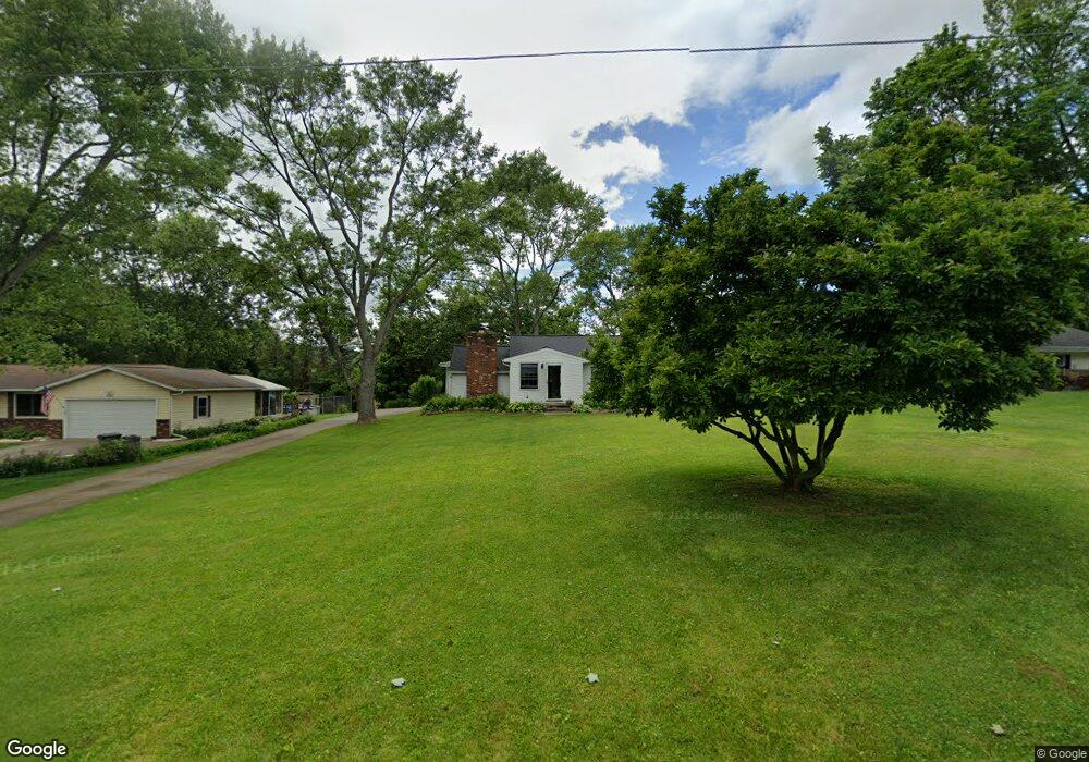
10012 Fay Dr Wadsworth, OH 44281
Estimated Value: $207,000 - $264,000
3
Beds
1
Bath
1,365
Sq Ft
$169/Sq Ft
Est. Value
About This Home
This home is located at 10012 Fay Dr, Wadsworth, OH 44281 and is currently estimated at $230,991, approximately $169 per square foot. 10012 Fay Dr is a home located in Medina County with nearby schools including Franklin Elementary School, Central Intermediate School, and Wadsworth Middle School.
Ownership History
Date
Name
Owned For
Owner Type
Purchase Details
Closed on
Sep 25, 2023
Sold by
Dipietro Madonna
Bought by
Edwards Lane
Current Estimated Value
Home Financials for this Owner
Home Financials are based on the most recent Mortgage that was taken out on this home.
Original Mortgage
$140,000
Outstanding Balance
$137,031
Interest Rate
6.96%
Mortgage Type
New Conventional
Estimated Equity
$93,960
Create a Home Valuation Report for This Property
The Home Valuation Report is an in-depth analysis detailing your home's value as well as a comparison with similar homes in the area
Home Values in the Area
Average Home Value in this Area
Purchase History
| Date | Buyer | Sale Price | Title Company |
|---|---|---|---|
| Edwards Lane | $175,000 | None Listed On Document |
Source: Public Records
Mortgage History
| Date | Status | Borrower | Loan Amount |
|---|---|---|---|
| Open | Edwards Lane | $140,000 |
Source: Public Records
Tax History Compared to Growth
Tax History
| Year | Tax Paid | Tax Assessment Tax Assessment Total Assessment is a certain percentage of the fair market value that is determined by local assessors to be the total taxable value of land and additions on the property. | Land | Improvement |
|---|---|---|---|---|
| 2024 | $2,350 | $53,820 | $27,300 | $26,520 |
| 2023 | $2,350 | $53,820 | $27,300 | $26,520 |
| 2022 | $1,978 | $53,820 | $27,300 | $26,520 |
| 2021 | $1,883 | $44,850 | $22,750 | $22,100 |
| 2020 | $1,714 | $44,850 | $22,750 | $22,100 |
| 2019 | $1,717 | $44,850 | $22,750 | $22,100 |
| 2018 | $1,758 | $43,440 | $22,470 | $20,970 |
| 2017 | $1,759 | $43,440 | $22,470 | $20,970 |
| 2016 | $1,794 | $43,440 | $22,470 | $20,970 |
| 2015 | $1,727 | $40,600 | $21,000 | $19,600 |
| 2014 | $1,633 | $40,600 | $21,000 | $19,600 |
| 2013 | $1,635 | $40,600 | $21,000 | $19,600 |
Source: Public Records
Map
Nearby Homes
- Amberwood Plan at Mount Eaton Estates - Mount Eaton Estates
- Newberry Plan at Mount Eaton Estates - Mount Eaton Estates
- Ascend Plan at Mount Eaton Estates - Mount Eaton Estates
- Aspire Plan at Mount Eaton Estates - Mount Eaton Estates
- Fairview Plan at Mount Eaton Estates - Mount Eaton Estates
- Mercer Plan at Mount Eaton Estates - Mount Eaton Estates
- Continental Plan at Mount Eaton Estates - Mount Eaton Estates
- Boardwalk Plan at Mount Eaton Estates - Mount Eaton Estates
- 1014 Marissa Dr
- 220 Country Meadow Ln
- 10091 Dale Dr
- 1008 Barn Swallow Cir
- 941 Kings Cross Dr
- 877 Chardoney Dr
- 595 Jessica Ln
- 678 Wall Rd
- 499 Main St
- 9900 Homestead Rd
- 970 Eastern Rd
- 253 E Bergey St
- 10024 Fay Dr
- 10000 Fay Dr
- 10038 Fay Dr
- 10011 Mount Eaton Rd
- 10003 Mount Eaton Rd
- 10021 Mount Eaton Rd
- 10015 Fay Dr
- 10005 Fay Dr
- 1105 Maple Dr
- 10025 Fay Dr
- 9995 Fay Dr
- 9985 Mount Eaton Rd
- 10035 Fay Dr
- 9985 Fay Dr
- 10045 Mount Eaton Rd
- 9975 Mount Eaton Rd
- 9966 Fay Dr
- 10045 Fay Dr
- 975 Marissa Dr
- 991 Marissa Dr