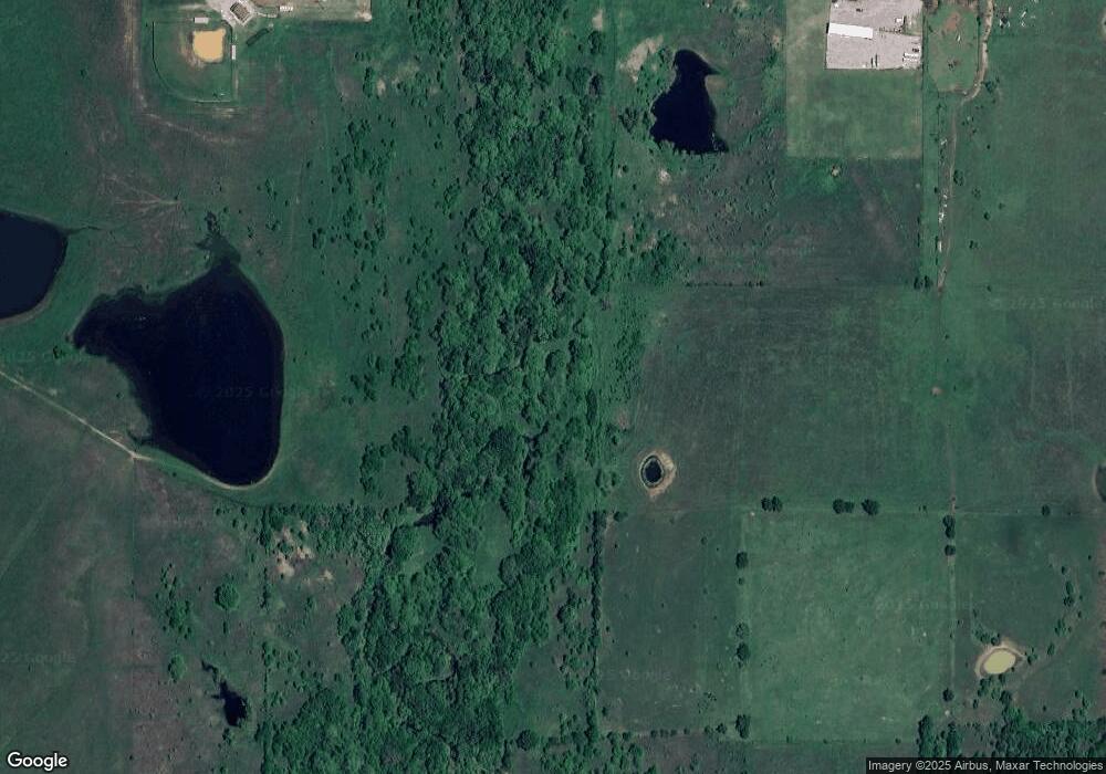
10015 State Highway 53 Ardmore, OK 73401
Estimated Value: $254,000 - $505,044
2
Beds
2
Baths
2,068
Sq Ft
$174/Sq Ft
Est. Value
About This Home
This home is located at 10015 State Highway 53, Ardmore, OK 73401 and is currently estimated at $360,511, approximately $174 per square foot. 10015 State Highway 53 is a home located in Carter County with nearby schools including Springer Elementary School and Springer High School.
Ownership History
Date
Name
Owned For
Owner Type
Purchase Details
Closed on
May 13, 2025
Sold by
Anna Mae Welborn Trust and Welborn Anna Mae
Bought by
James T S Welborn Charitable Remainder Unitru and Prosperity Bank
Current Estimated Value
Purchase Details
Closed on
Oct 9, 2020
Sold by
Mosali Jagadeesh and Pothureddy Keerthi Reddy
Bought by
Burson David Christopher
Purchase Details
Closed on
Mar 27, 2019
Sold by
Deutsche Bank National Trust Company
Bought by
Pothureddy Keerthi Reddy and Mosali Jagadeesh
Home Financials for this Owner
Home Financials are based on the most recent Mortgage that was taken out on this home.
Original Mortgage
$97,604
Interest Rate
4.3%
Mortgage Type
Commercial
Purchase Details
Closed on
Apr 3, 2017
Sold by
Lawson Dale
Bought by
Deutsche Bank National Trust Co and Novastar Mortgage Funding Trust Series 2
Purchase Details
Closed on
Aug 18, 1998
Sold by
Hinton Jessie E
Bought by
Kern James Robert and Kern Ba
Purchase Details
Closed on
Dec 16, 1997
Sold by
Hinton Robert L
Bought by
Hinton Jessie E
Create a Home Valuation Report for This Property
The Home Valuation Report is an in-depth analysis detailing your home's value as well as a comparison with similar homes in the area
Home Values in the Area
Average Home Value in this Area
Purchase History
| Date | Buyer | Sale Price | Title Company |
|---|---|---|---|
| James T S Welborn Charitable Remainder Unitru | -- | None Listed On Document | |
| Burson David Christopher | -- | -- | |
| Pothureddy Keerthi Reddy | $120,000 | None Available | |
| Deutsche Bank National Trust Co | $209,464 | None Available | |
| Kern James Robert | $135,000 | -- | |
| Hinton Jessie E | -- | -- |
Source: Public Records
Mortgage History
| Date | Status | Borrower | Loan Amount |
|---|---|---|---|
| Previous Owner | Pothureddy Keerthi Reddy | $97,604 |
Source: Public Records
Tax History Compared to Growth
Tax History
| Year | Tax Paid | Tax Assessment Tax Assessment Total Assessment is a certain percentage of the fair market value that is determined by local assessors to be the total taxable value of land and additions on the property. | Land | Improvement |
|---|---|---|---|---|
| 2025 | $3,444 | $41,407 | $18,938 | $22,469 |
| 2024 | $3,444 | $40,048 | $18,938 | $21,110 |
| 2023 | $1,635 | $19,015 | $3,532 | $15,483 |
| 2022 | $1,560 | $18,110 | $2,709 | $15,401 |
| 2021 | $1,578 | $18,110 | $2,709 | $15,401 |
| 2020 | $1,577 | $18,079 | $2,709 | $15,370 |
| 2019 | $1,514 | $17,553 | $2,709 | $14,844 |
| 2018 | $1,884 | $21,195 | $2,709 | $18,486 |
| 2017 | $1,858 | $21,687 | $2,709 | $18,978 |
| 2016 | $1,815 | $21,288 | $2,709 | $18,579 |
| 2015 | $1,861 | $21,338 | $2,409 | $18,929 |
| 2014 | $2,241 | $25,495 | $2,411 | $23,084 |
Source: Public Records
Map
Nearby Homes
- 16677 Us Highway 77
- 503 Forest Ln
- 380 Blue Bell Rd
- 282 Country Estate Dr
- 7590 Mount Washington Rd
- 1416 Richland Rd
- 0 Grassland Rd Unit 2544291
- 0 Grassland Rd Unit 2544372
- 0 Grassland Rd Unit 2544109
- 586 Grassland Rd
- 6600 Refinery Rd
- 00 Refinery Rd
- 296 Ridgeview Rd
- 0 Lucca Unit 2541191
- 0 Lucca Unit 2541196
- 0 Lucca Unit 2541193
- 0 Lucca Unit 2541195
- 0 Lucca Unit 2541206
- 0 Lucca Unit 2541190
- 331 Wildflower Place
