10018 Coverdale Rd Fort Wayne, IN 46809
Estimated Value: $535,000 - $769,242
3
Beds
4
Baths
3,093
Sq Ft
$213/Sq Ft
Est. Value
About This Home
This home is located at 10018 Coverdale Rd, Fort Wayne, IN 46809 and is currently estimated at $659,747, approximately $213 per square foot. 10018 Coverdale Rd is a home located in Allen County with nearby schools including Lafayette Meadow School, Summit Middle School, and Homestead Senior High School.
Ownership History
Date
Name
Owned For
Owner Type
Purchase Details
Closed on
Apr 21, 2004
Sold by
Jacobs Mary C
Bought by
Day Dallas D and Day Sharon K
Current Estimated Value
Home Financials for this Owner
Home Financials are based on the most recent Mortgage that was taken out on this home.
Original Mortgage
$400,000
Interest Rate
5.48%
Mortgage Type
Credit Line Revolving
Create a Home Valuation Report for This Property
The Home Valuation Report is an in-depth analysis detailing your home's value as well as a comparison with similar homes in the area
Home Values in the Area
Average Home Value in this Area
Purchase History
| Date | Buyer | Sale Price | Title Company |
|---|---|---|---|
| Day Dallas D | -- | Commonwealth-Dreibelbiss Tit |
Source: Public Records
Mortgage History
| Date | Status | Borrower | Loan Amount |
|---|---|---|---|
| Closed | Day Dallas D | $400,000 |
Source: Public Records
Tax History Compared to Growth
Tax History
| Year | Tax Paid | Tax Assessment Tax Assessment Total Assessment is a certain percentage of the fair market value that is determined by local assessors to be the total taxable value of land and additions on the property. | Land | Improvement |
|---|---|---|---|---|
| 2024 | $8,302 | $688,100 | $118,900 | $569,200 |
| 2022 | $6,492 | $625,300 | $63,700 | $561,600 |
| 2021 | $5,573 | $513,400 | $61,900 | $451,500 |
| 2020 | $5,667 | $500,000 | $61,800 | $438,200 |
| 2019 | $5,681 | $498,200 | $64,200 | $434,000 |
| 2018 | $5,414 | $474,700 | $64,700 | $410,000 |
| 2017 | $5,569 | $456,300 | $66,800 | $389,500 |
| 2016 | $5,632 | $442,200 | $67,700 | $374,500 |
| 2014 | $5,733 | $432,200 | $68,500 | $363,700 |
| 2013 | $5,828 | $415,700 | $66,000 | $349,700 |
Source: Public Records
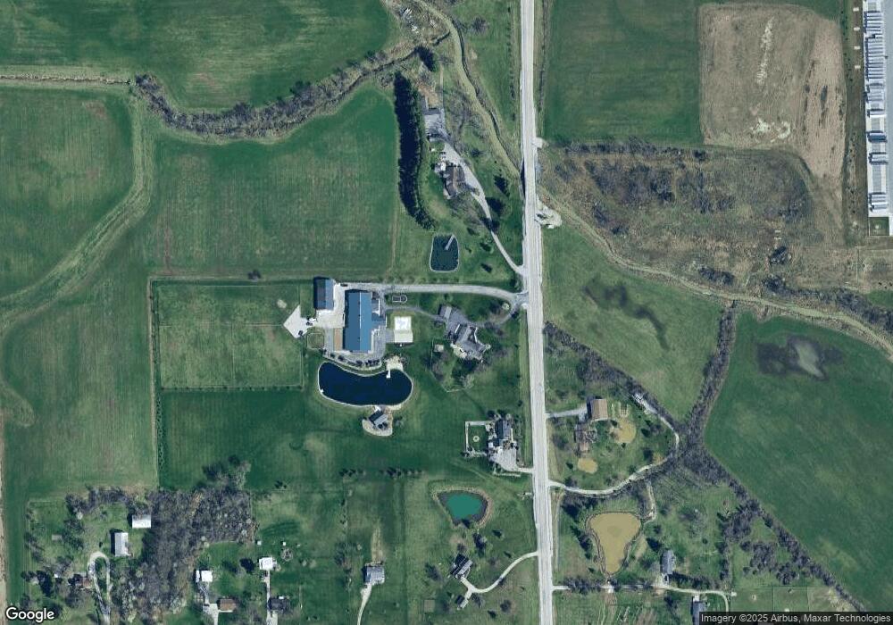
Map
Nearby Homes
- 4435 Lower Huntington Rd
- 2600 Blk Timbers Dr
- 13815 Branstrator Rd
- 6719 W Canal Pointe Ln
- 3302 Mcarthur Dr
- Freeport Plan at Sierra Ridge
- Chatham Plan at Sierra Ridge
- Bellamy Plan at Sierra Ridge
- Henley Plan at Sierra Ridge
- Stamford Plan at Sierra Ridge
- 7407 Baer Rd
- 9523 Ledgewood Ct
- 9323 Manor Woods Rd
- 3325 Lower Huntington Rd
- 3015 Mcarthur Dr
- 4305 Pleasant Center Rd
- 7302 Bradbury Ave
- 9204 Barbara Ln
- 2706 Saint Louis Ave
- 97?? Bluffton Rd
- 10128 Coverdale Rd
- 9604 Coverdale Rd
- 10107 Coverdale Rd
- 10102 Coverdale Rd
- 6626 W Ferguson Rd
- 6710 W Ferguson Rd
- 6812 W Ferguson Rd
- 10209 Coverdale Rd
- 9721 Coverdale Rd
- 6336 W Ferguson Rd
- 6318 W Ferguson Rd
- 10215 Coverdale Rd
- 10502 Coverdale Rd
- 6248 W Ferguson Rd
- 10425 Coverdale Rd
- 9304 Coverdale Rd
- 6234 W Ferguson Rd
- 9700 Coverdale Rd
- 6120 W Ferguson Rd
- 6025 W Ferguson Rd