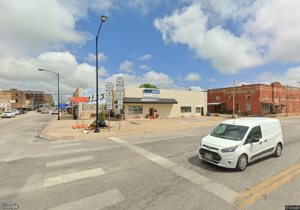
Estimated Value: $268,805 - $860,000
4
Beds
2
Baths
2,569
Sq Ft
$220/Sq Ft
Est. Value
About This Home
This home is located at 10018 Highway 2526, Cisco, TX 76437 and is currently estimated at $564,403, approximately $219 per square foot. 10018 Highway 2526 is a home located in Eastland County with nearby schools including Cisco Elementary School, Cisco Junior High School, and Cisco High School.
Ownership History
Date
Name
Owned For
Owner Type
Purchase Details
Closed on
Dec 16, 2022
Sold by
Cox Carol L
Bought by
Williams David Lee and Williams Traci Deann
Current Estimated Value
Purchase Details
Closed on
Sep 16, 2011
Sold by
Hanegan Joseph L and Hanehan Roxie S
Bought by
Carr Timothy D and Carr Shoshana A
Home Financials for this Owner
Home Financials are based on the most recent Mortgage that was taken out on this home.
Original Mortgage
$109,250
Interest Rate
4.24%
Mortgage Type
New Conventional
Purchase Details
Closed on
Sep 6, 2005
Sold by
Lane Paul R and Lane Carolyn L
Bought by
Hanegan Joseph L and Hanegan Roxie S
Home Financials for this Owner
Home Financials are based on the most recent Mortgage that was taken out on this home.
Original Mortgage
$8,400
Interest Rate
5.88%
Mortgage Type
Stand Alone Second
Create a Home Valuation Report for This Property
The Home Valuation Report is an in-depth analysis detailing your home's value as well as a comparison with similar homes in the area
Home Values in the Area
Average Home Value in this Area
Purchase History
| Date | Buyer | Sale Price | Title Company |
|---|---|---|---|
| Williams David Lee | -- | Security Title | |
| Carr Timothy D | -- | None Available | |
| Hanegan Joseph L | -- | None Available |
Source: Public Records
Mortgage History
| Date | Status | Borrower | Loan Amount |
|---|---|---|---|
| Previous Owner | Carr Timothy D | $109,250 | |
| Previous Owner | Hanegan Joseph L | $8,400 |
Source: Public Records
Tax History Compared to Growth
Tax History
| Year | Tax Paid | Tax Assessment Tax Assessment Total Assessment is a certain percentage of the fair market value that is determined by local assessors to be the total taxable value of land and additions on the property. | Land | Improvement |
|---|---|---|---|---|
| 2025 | $2,562 | $247,160 | $50,010 | $197,150 |
| 2024 | $2,595 | $250,430 | $50,010 | $200,420 |
| 2023 | $2,760 | $244,670 | $41,010 | $203,660 |
| 2022 | $3,070 | $247,840 | $41,010 | $206,830 |
| 2021 | $2,042 | $165,400 | $37,510 | $127,890 |
| 2020 | $2,088 | $158,270 | $27,500 | $130,770 |
| 2019 | $2,209 | $160,230 | $27,500 | $132,730 |
| 2018 | $2,425 | $160,280 | $27,510 | $132,770 |
| 2017 | $2,269 | $151,470 | $25,000 | $126,470 |
| 2016 | $2,268 | $151,470 | $25,000 | $126,470 |
| 2015 | -- | $121,740 | $22,500 | $99,240 |
| 2014 | -- | $99,550 | $310 | $99,240 |
Source: Public Records
Map
Nearby Homes
- 9912 Farm To Market 2526
- Tbd Hwy 206
- 137 Cr
- Tbd Cr 137
- Tbd County Road 137
- 4593 Tx-206
- 4593 Texas 206
- 1750 County Road 173
- 2118 County Road 137
- 137 County Road 137
- 209 Legacy Canyon Dr
- TBD Hwy 6 Hwy
- TBD Hwy 1864
- TBD County Road 280
- TBD County Road 216
- 710 County Road 280
- 2008 El Paso Ave
- 1801 Cr 281
- 1401 W 13th St
- 1308 W 13th St
- 10018 Highway 2526
- 9912 Highway 2526
- 9910 Highway 2526
- 10028 Highway 2526
- 10028 Highway 2526
- 10028 Highway 2526
- 400 County Road 581 Unit HWY206
- 5901 Highway 569
- 5851 Highway 569
- 5975 Highway 569
- 6309 Highway 569
- 5917 Highway 569
- 5951 Highway 569
- 5951 Highway 569
- 5801 Highway 569
- 5851 Highway 569
- 5901 Highway 569
- 5801 Highway 569
- 5801 Highway 569
- 5951 Highway 569
