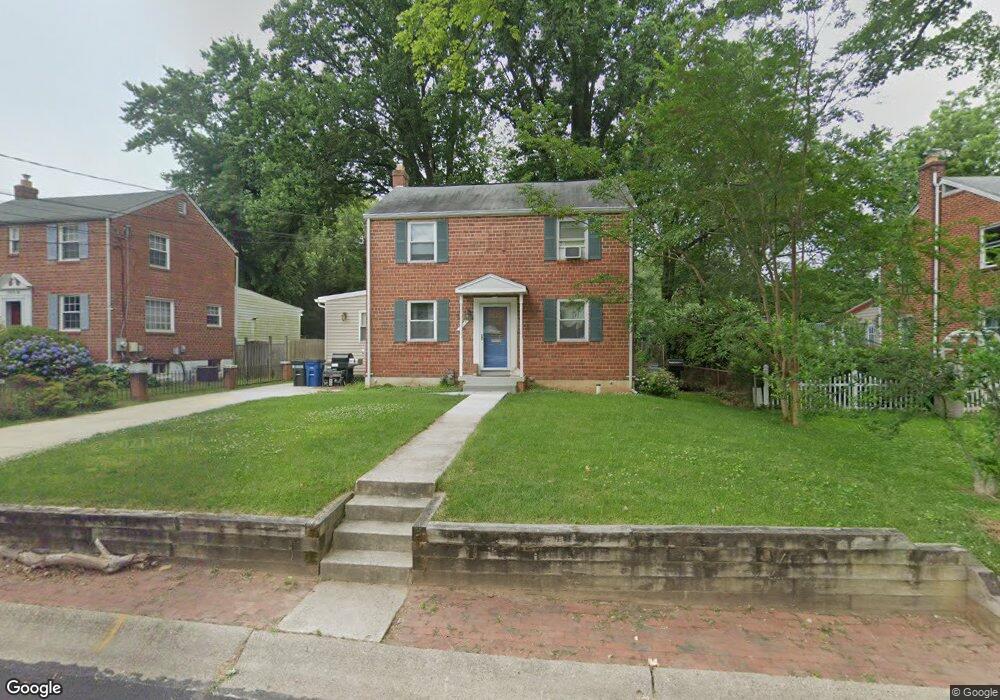
10018 Raynor Rd Silver Spring, MD 20901
South Four Corners NeighborhoodEstimated Value: $553,000 - $626,000
3
Beds
2
Baths
1,451
Sq Ft
$407/Sq Ft
Est. Value
About This Home
This home is located at 10018 Raynor Rd, Silver Spring, MD 20901 and is currently estimated at $589,912, approximately $406 per square foot. 10018 Raynor Rd is a home located in Montgomery County with nearby schools including Flora M. Singer Elementary School, Sligo Middle School, and Albert Einstein High School.
Ownership History
Date
Name
Owned For
Owner Type
Purchase Details
Closed on
Jun 1, 2006
Sold by
Bechtoldt C J C and Bechtoldt M
Bought by
Ryan Daniel J
Current Estimated Value
Home Financials for this Owner
Home Financials are based on the most recent Mortgage that was taken out on this home.
Original Mortgage
$50,000
Interest Rate
6.62%
Mortgage Type
Purchase Money Mortgage
Purchase Details
Closed on
May 30, 2006
Sold by
Bechtoldt C J C and Bechtoldt M
Bought by
Ryan Daniel J
Home Financials for this Owner
Home Financials are based on the most recent Mortgage that was taken out on this home.
Original Mortgage
$50,000
Interest Rate
6.62%
Mortgage Type
Purchase Money Mortgage
Create a Home Valuation Report for This Property
The Home Valuation Report is an in-depth analysis detailing your home's value as well as a comparison with similar homes in the area
Home Values in the Area
Average Home Value in this Area
Purchase History
| Date | Buyer | Sale Price | Title Company |
|---|---|---|---|
| Ryan Daniel J | $435,000 | -- | |
| Ryan Daniel J | $435,000 | -- |
Source: Public Records
Mortgage History
| Date | Status | Borrower | Loan Amount |
|---|---|---|---|
| Closed | Ryan Daniel J | $50,000 | |
| Open | Ryan Daniel J | $341,500 | |
| Closed | Ryan Daniel J | $341,500 |
Source: Public Records
Tax History
| Year | Tax Paid | Tax Assessment Tax Assessment Total Assessment is a certain percentage of the fair market value that is determined by local assessors to be the total taxable value of land and additions on the property. | Land | Improvement |
|---|---|---|---|---|
| 2025 | $5,776 | $450,100 | $210,100 | $240,000 |
| 2024 | $5,776 | $438,233 | $0 | $0 |
| 2023 | $4,924 | $426,367 | $0 | $0 |
| 2022 | $4,535 | $414,500 | $210,100 | $204,400 |
| 2021 | $3,965 | $393,233 | $0 | $0 |
| 2020 | $3,965 | $371,967 | $0 | $0 |
| 2019 | $3,696 | $350,700 | $195,500 | $155,200 |
| 2018 | $3,524 | $337,333 | $0 | $0 |
| 2017 | $3,430 | $323,967 | $0 | $0 |
| 2016 | -- | $310,600 | $0 | $0 |
| 2015 | $3,107 | $310,600 | $0 | $0 |
| 2014 | $3,107 | $310,600 | $0 | $0 |
Source: Public Records
Map
Nearby Homes
- 10015 Reddick Dr
- 10006 Portland Place
- 1616 Tilton Dr
- 10110 Dallas Ave
- 10104 Kinross Ave
- 9707 Saxony Rd
- 10405 Inwood Ave
- 1806 Tilton Dr
- 603 Perth Place
- 9624 Brunett Ave
- 1409 Crestridge Dr
- 9910 Lorain Ave
- 1819 Sanford Rd
- 9505 Columbia Blvd
- 1518 Gridley Ln
- 2002 Medical Park Dr
- 617 Lycoming St
- 9802 Georgia Ave Unit 26-202
- 9820 Georgia Ave Unit 2130
- 9800 Georgia Ave Unit 25301
- 10016 Raynor Rd
- 10020 Raynor Rd
- 10014 Raynor Rd
- 10015 Sidney Rd
- 10022 Raynor Rd
- 10013 Sidney Rd
- 10017 Sidney Rd
- 10012 Raynor Rd
- 10011 Sidney Rd
- 10019 Raynor Rd
- 10017 Raynor Rd
- 10021 Raynor Rd
- 10025 Tenbrook Dr
- 10023 Tenbrook Dr
- 10015 Raynor Rd
- 10010 Raynor Rd
- 10021 Tenbrook Dr
- 10023 Raynor Rd
- 10009 Sidney Rd
- 10019 Tenbrook Dr
Your Personal Tour Guide
Ask me questions while you tour the home.