Estimated Value: $366,971 - $439,000
3
Beds
2
Baths
1,997
Sq Ft
$201/Sq Ft
Est. Value
About This Home
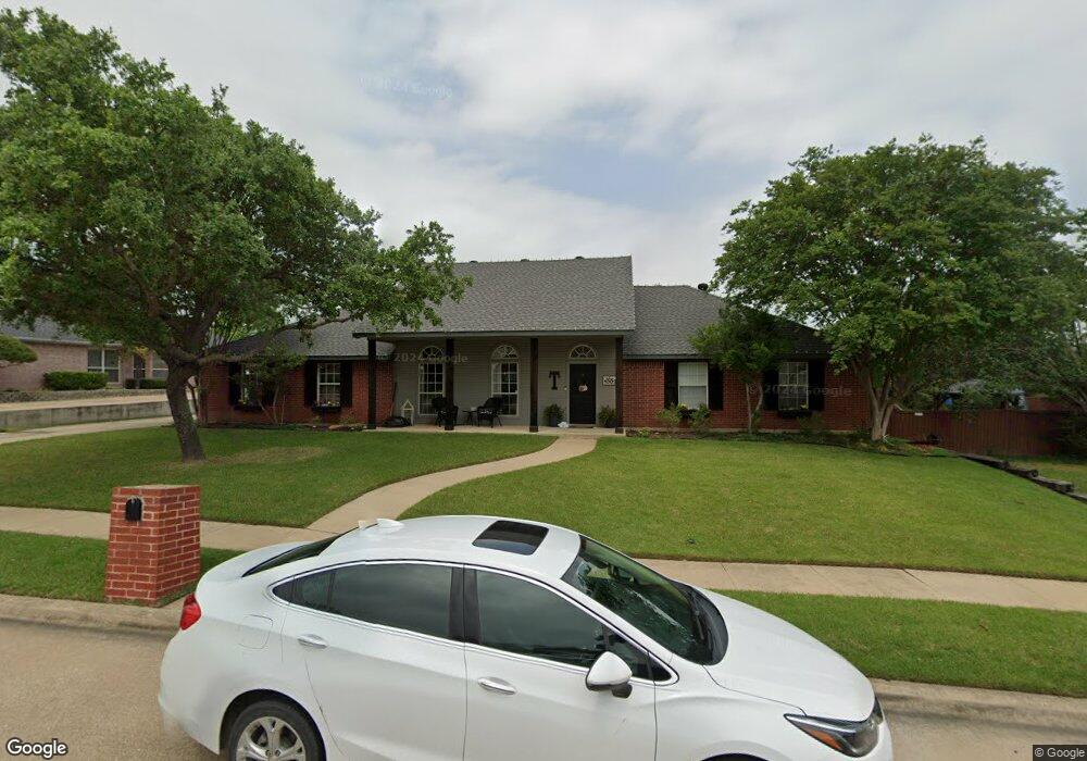
This home is located at 1002 Heatherwood Dr, Wylie, TX 75098 and is currently estimated at $400,743, approximately $200 per square foot. 1002 Heatherwood Dr is a home located in Collin County with nearby schools including P M Akin Elementary School, AB Harrison Intermediate School, and Grady Burnett J High School.
Ownership History
Date
Name
Owned For
Owner Type
Purchase Details
Closed on
Aug 6, 2003
Sold by
Townsend Lonnie E and Townsend Patricia A
Bought by
Townsend Lonnie S and Townsend Tara B
Current Estimated Value
Purchase Details
Closed on
Apr 8, 1997
Sold by
Provident Bank
Bought by
Townsend Lonnie E and Townsend Patricia A
Home Financials for this Owner
Home Financials are based on the most recent Mortgage that was taken out on this home.
Original Mortgage
$17,000
Outstanding Balance
$2,204
Interest Rate
7.92%
Estimated Equity
$398,539
Create a Home Valuation Report for This Property
The Home Valuation Report is an in-depth analysis detailing your home's value as well as a comparison with similar homes in the area
Home Values in the Area
Average Home Value in this Area
Purchase History
| Date | Buyer | Sale Price | Title Company |
|---|---|---|---|
| Townsend Lonnie S | -- | -- | |
| Townsend Lonnie E | -- | -- |
Source: Public Records
Mortgage History
| Date | Status | Borrower | Loan Amount |
|---|---|---|---|
| Open | Townsend Lonnie E | $17,000 |
Source: Public Records
Tax History Compared to Growth
Tax History
| Year | Tax Paid | Tax Assessment Tax Assessment Total Assessment is a certain percentage of the fair market value that is determined by local assessors to be the total taxable value of land and additions on the property. | Land | Improvement |
|---|---|---|---|---|
| 2025 | $5,799 | $380,268 | $120,000 | $260,268 |
| 2024 | $5,799 | $359,311 | $120,000 | $249,859 |
| 2023 | $5,799 | $326,646 | $120,000 | $277,657 |
| 2022 | $6,515 | $296,951 | $120,000 | $285,589 |
| 2021 | $6,352 | $269,955 | $70,000 | $199,955 |
| 2020 | $6,628 | $266,938 | $70,000 | $196,938 |
| 2019 | $6,470 | $246,222 | $70,000 | $201,879 |
| 2018 | $6,028 | $223,838 | $70,000 | $184,036 |
| 2017 | $5,414 | $221,354 | $60,000 | $161,354 |
| 2016 | $5,078 | $198,922 | $42,000 | $156,922 |
| 2015 | $4,026 | $166,155 | $42,000 | $124,155 |
Source: Public Records
Map
Nearby Homes
- 306 Foxwood Ct
- 1201 E Stone Rd
- 312 Maltese Cir
- 1209 Surrey Cir
- 409 Cedar Ridge Dr
- 825 Forest Edge Ln
- 825 Foxwood Ln
- 820 Foxwood Ln
- 216 Cedar Ridge St
- 1320 Cedar Branch Dr
- 1115 Nighthawk Dr
- 1210 Iron Horse St
- 407 Sparrow Dr
- 1318 Chestnut Hill Dr
- 811 Forest Edge Ln
- 1056 Fairview Dr
- 1321 Iron Horse St
- 213 N West A Allen Blvd
- 107 Windy Knoll Ln
- 104 Rushcreek Dr
- 1000 Heatherwood Dr
- 1004 Heatherwood Dr
- 312 Foxwood Ln
- 310 Foxwood Ct
- 1003 Heatherwood Dr
- 1005 Heatherwood Dr
- 1001 Heatherwood Dr
- 1007 Heatherwood Dr
- 937 Heatherwood Dr
- 308 Foxwood Ct
- 313 Foxwood Ln
- 936 Springwood Ln
- 315 Foxwood Ln
- 311 Foxwood Ln
- 1002 Foxwood Ln
- 1000 Foxwood Ln
- 935 Heatherwood Dr
- 1004 Foxwood Ln
- 401 Foxwood Ln
- 934 Springwood Ln