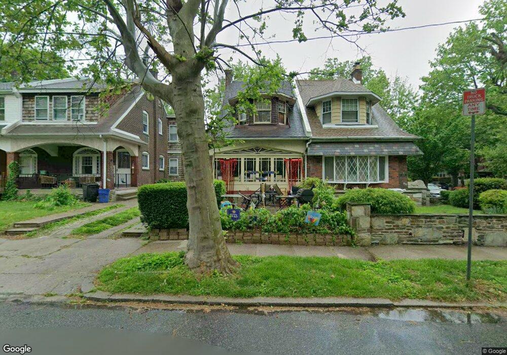
1002 Kenwyn St Philadelphia, PA 19124
Lawncrest NeighborhoodEstimated Value: $248,000 - $313,000
4
Beds
1
Bath
1,942
Sq Ft
$143/Sq Ft
Est. Value
About This Home
This home is located at 1002 Kenwyn St, Philadelphia, PA 19124 and is currently estimated at $277,742, approximately $143 per square foot. 1002 Kenwyn St is a home located in Philadelphia County with nearby schools including Frankford High School, The Philadelphia Charter School for the Arts & Sciences, and Northwood Academy Charter School.
Ownership History
Date
Name
Owned For
Owner Type
Purchase Details
Closed on
Dec 15, 2000
Sold by
Mahan Arthur L
Bought by
Matthews David M and Matthews Janice L
Current Estimated Value
Home Financials for this Owner
Home Financials are based on the most recent Mortgage that was taken out on this home.
Original Mortgage
$89,397
Outstanding Balance
$32,494
Interest Rate
7.69%
Mortgage Type
FHA
Estimated Equity
$245,248
Purchase Details
Closed on
May 15, 1997
Sold by
Mahan Helen L and Mahan Edwin J
Bought by
Mahan Arthur L
Create a Home Valuation Report for This Property
The Home Valuation Report is an in-depth analysis detailing your home's value as well as a comparison with similar homes in the area
Home Values in the Area
Average Home Value in this Area
Purchase History
| Date | Buyer | Sale Price | Title Company |
|---|---|---|---|
| Matthews David M | $89,450 | -- | |
| Mahan Arthur L | -- | -- |
Source: Public Records
Mortgage History
| Date | Status | Borrower | Loan Amount |
|---|---|---|---|
| Open | Matthews David M | $89,397 |
Source: Public Records
Tax History Compared to Growth
Tax History
| Year | Tax Paid | Tax Assessment Tax Assessment Total Assessment is a certain percentage of the fair market value that is determined by local assessors to be the total taxable value of land and additions on the property. | Land | Improvement |
|---|---|---|---|---|
| 2026 | $3,346 | $268,100 | $53,620 | $214,480 |
| 2025 | $3,346 | $268,100 | $53,620 | $214,480 |
| 2024 | $3,346 | $268,100 | $53,620 | $214,480 |
| 2023 | $3,346 | $239,000 | $47,800 | $191,200 |
| 2022 | $1,908 | $194,000 | $47,800 | $146,200 |
| 2021 | $2,538 | $0 | $0 | $0 |
| 2020 | $2,538 | $0 | $0 | $0 |
| 2019 | $2,436 | $0 | $0 | $0 |
| 2018 | $1,935 | $0 | $0 | $0 |
| 2017 | $2,354 | $0 | $0 | $0 |
| 2016 | $1,935 | $0 | $0 | $0 |
| 2015 | $1,852 | $0 | $0 | $0 |
| 2014 | -- | $168,200 | $45,941 | $122,259 |
| 2012 | -- | $23,040 | $2,326 | $20,714 |
Source: Public Records
Map
Nearby Homes
- 1048 Bridge St
- 1052 Allengrove St
- 4046 E Roosevelt Blvd
- 5505 Loretto Ave
- 1859 Harrison St
- 1204 Pratt St
- 1137 Bridge St
- 1218 Pratt St
- 1220 Pratt St
- 5640 Miriam Rd
- 1208 Haworth St
- 5659 Miriam Rd
- 5661 Miriam Rd
- 1214 Haworth St
- 5118 Oakland St
- 926 Foulkrod St
- 934 Brill St
- 894 Granite St
- 991 Carver St
- 996 Anchor St