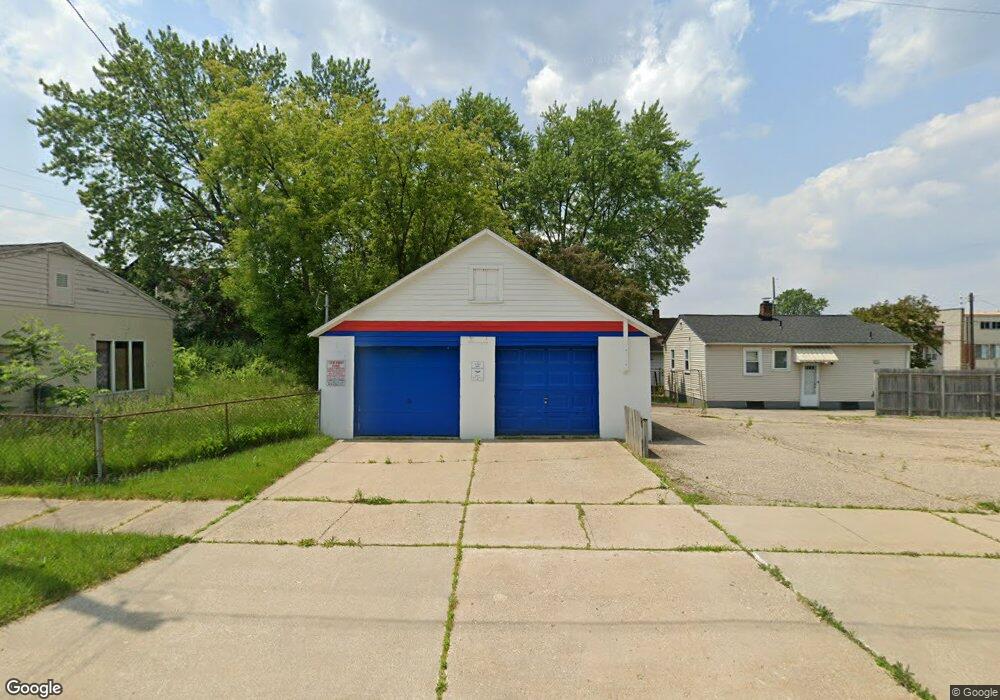
1002 Knight Ave Flint, MI 48503
Mannhall Park NeighborhoodEstimated Value: $44,000 - $66,488
Studio
--
Bath
--
Sq Ft
4,008
Sq Ft Lot
About This Home
This home is located at 1002 Knight Ave, Flint, MI 48503 and is currently estimated at $52,872. 1002 Knight Ave is a home with nearby schools including Durant-Tuuri-Mott Elementary School, St. Paul Lutheran School, and St John Vianney Catholic School.
Ownership History
Date
Name
Owned For
Owner Type
Purchase Details
Closed on
Jan 4, 2010
Sold by
Hagon Chester P
Bought by
Hagons Commercial Real Estate Properties
Current Estimated Value
Purchase Details
Closed on
Jan 3, 2008
Sold by
Tenore West Douglas N and Tenore West Bonita K
Bought by
Hagon Chester P
Purchase Details
Closed on
Nov 22, 2002
Sold by
Joint Revocable Self Trusteed Trust Agre
Bought by
Hagon Chester P
Home Financials for this Owner
Home Financials are based on the most recent Mortgage that was taken out on this home.
Original Mortgage
$10,000
Interest Rate
7%
Mortgage Type
Seller Take Back
Create a Home Valuation Report for This Property
The Home Valuation Report is an in-depth analysis detailing your home's value as well as a comparison with similar homes in the area
Home Values in the Area
Average Home Value in this Area
Purchase History
| Date | Buyer | Sale Price | Title Company |
|---|---|---|---|
| Hagons Commercial Real Estate Properties | -- | None Available | |
| Hagon Chester P | $15,000 | None Available | |
| Hagon Chester P | $15,000 | Multiple |
Source: Public Records
Mortgage History
| Date | Status | Borrower | Loan Amount |
|---|---|---|---|
| Previous Owner | Hagon Chester P | $10,000 |
Source: Public Records
Tax History
| Year | Tax Paid | Tax Assessment Tax Assessment Total Assessment is a certain percentage of the fair market value that is determined by local assessors to be the total taxable value of land and additions on the property. | Land | Improvement |
|---|---|---|---|---|
| 2025 | $177 | $4,000 | $0 | $0 |
| 2024 | $166 | $3,700 | $0 | $0 |
| 2023 | $172 | $3,400 | $0 | $0 |
| 2022 | $0 | $3,100 | $0 | $0 |
| 2021 | $203 | $2,900 | $0 | $0 |
| 2020 | $192 | $2,400 | $0 | $0 |
| 2019 | $197 | $2,100 | $0 | $0 |
| 2018 | $164 | $2,000 | $0 | $0 |
| 2017 | $161 | $0 | $0 | $0 |
| 2016 | $161 | $0 | $0 | $0 |
| 2015 | -- | $0 | $0 | $0 |
| 2014 | -- | $0 | $0 | $0 |
| 2012 | -- | $1,300 | $0 | $0 |
Source: Public Records
Map
Nearby Homes
- 2805 Reynolds St
- 1114 Clancy Ave
- 1017 Stocker Ave
- 932 Bradley Ave
- 1122 Stocker Ave
- 2618 Brown St
- 911 Hughes Ave
- 2663 W Court St
- 2537 Swayze St
- 960 Mann Ave
- 2729 Chicago Blvd
- 976 Barney Ave
- 2509 Corunna Rd
- 2464 Gibson St
- 3413 Augusta St
- 916 Mann Ave
- 1308 Barney Ave
- 3217 Arlene Ave
- 3317 Arlene Ave
- 2433 Brown St
- 2905 Reynolds St
- 2909 Reynolds St
- 2910 Corunna Rd
- 2831 Reynolds St
- 2827 Reynolds St
- 2906 Reynolds St
- 2825 Reynolds St
- 2910 Reynolds St
- 2830 Corunna Rd
- 2823 Reynolds St
- 2826 Reynolds St
- 2932 Corunna Rd
- 2822 Reynolds St
- 2815 Reynolds St
- 2901 Gibson St
- 2909 Gibson St
- 2818 Reynolds St
- 2817 Corunna Rd
- 2919 Corunna Rd
- 2825 Gibson St
Your Personal Tour Guide
Ask me questions while you tour the home.