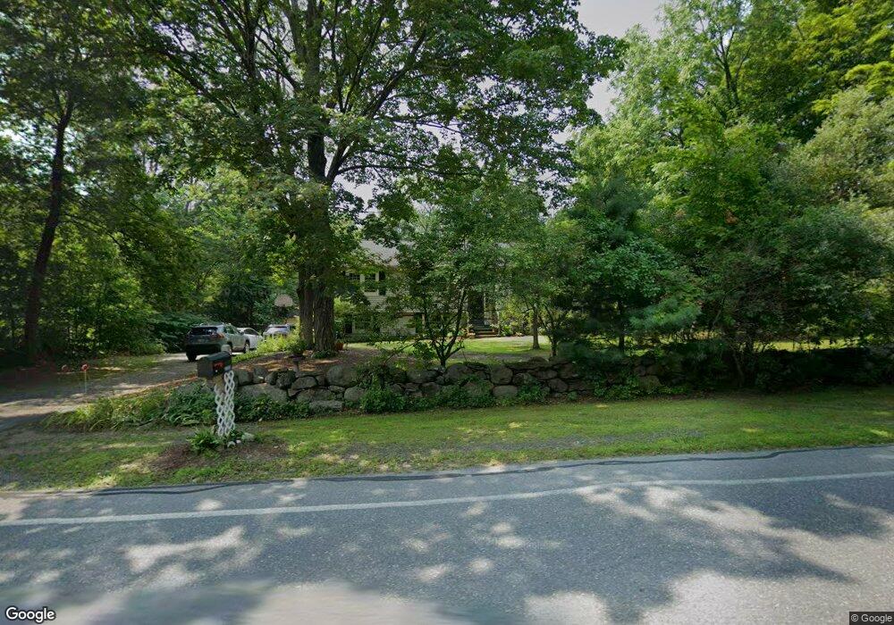
1002 Liberty Square Rd Boxborough, MA 01719
Estimated Value: $701,031 - $769,000
3
Beds
2
Baths
1,344
Sq Ft
$538/Sq Ft
Est. Value
About This Home
This home is located at 1002 Liberty Square Rd, Boxborough, MA 01719 and is currently estimated at $723,008, approximately $537 per square foot. 1002 Liberty Square Rd is a home located in Middlesex County with nearby schools including Acton-Boxborough Regional High School.
Ownership History
Date
Name
Owned For
Owner Type
Purchase Details
Closed on
May 19, 1975
Bought by
Linnane William and Linnane Kathleen
Current Estimated Value
Create a Home Valuation Report for This Property
The Home Valuation Report is an in-depth analysis detailing your home's value as well as a comparison with similar homes in the area
Home Values in the Area
Average Home Value in this Area
Purchase History
| Date | Buyer | Sale Price | Title Company |
|---|---|---|---|
| Linnane William | -- | -- |
Source: Public Records
Mortgage History
| Date | Status | Borrower | Loan Amount |
|---|---|---|---|
| Open | Linnane William | $160,000 | |
| Closed | Linnane William | $50,000 | |
| Closed | Linnane William | $163,000 |
Source: Public Records
Tax History
| Year | Tax Paid | Tax Assessment Tax Assessment Total Assessment is a certain percentage of the fair market value that is determined by local assessors to be the total taxable value of land and additions on the property. | Land | Improvement |
|---|---|---|---|---|
| 2025 | $9,664 | $638,300 | $283,200 | $355,100 |
| 2024 | $9,396 | $626,800 | $271,700 | $355,100 |
| 2023 | $9,078 | $584,900 | $255,100 | $329,800 |
| 2022 | $9,281 | $532,800 | $255,100 | $277,700 |
| 2020 | $8,220 | $491,600 | $255,100 | $236,500 |
| 2019 | $8,072 | $491,600 | $255,100 | $236,500 |
| 2018 | $5,349 | $478,900 | $243,100 | $235,800 |
| 2017 | $7,637 | $454,300 | $243,100 | $211,200 |
| 2016 | $6,948 | $424,700 | $243,100 | $181,600 |
| 2015 | $6,180 | $371,200 | $188,600 | $182,600 |
| 2014 | $6,538 | $369,600 | $183,100 | $186,500 |
Source: Public Records
Map
Nearby Homes
- 36 Leonard Rd
- 959 Hill Rd
- 79 Old Orchard Ln
- 4 Littlefield Rd
- 119 Taylor St
- 305 Harwood Ave
- 20 Lyons Ln Unit 20
- 15 Spencer Rd Unit 12E
- 50 Spencer Rd Unit 12L
- 77 Wheeler Dr Unit 77
- 60 Nashoba Rd
- 146 Tahattawan Rd
- 220 Swanson Rd Unit 605
- 220 Swanson Rd Unit 606
- 220 Swanson Rd Unit 604
- 208 Swanson Rd Unit 526
- 4 Omega Way
- 5 Oak Ridge Rd
- 11-15 Taylor St
- 5 Kimball St
- 986 Liberty Square Rd
- 1024 Liberty Square Rd
- 1024 Liberty Square Rd
- 22 Waite Rd
- 975 Liberty Square Radial
- 975 Liberty Square Rd
- 1037 Liberty Square Rd
- 1037 Liberty Square Rd
- 963 Liberty Square Rd
- 1044 Liberty Square Rd
- 34 Waite Rd
- 27 Waite Rd
- 949 Liberty Square Rd
- 1055 Liberty Square Rd
- 46 Waite Rd
- 43 Waite Rd
- 59 Waite Rd
- 1033 Liberty Square Rd
- 933 Liberty Square Rd
- 1069 Liberty Square Rd
Your Personal Tour Guide
Ask me questions while you tour the home.