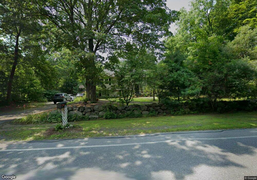
1002 Liberty Square Rd Boxborough, MA 01719
Estimated Value: $722,000 - $772,000
About This Home
This home is located at 1002 Liberty Square Rd, Boxborough, MA 01719 and is currently estimated at $738,634, approximately $549 per square foot. 1002 Liberty Square Rd is a home located in Middlesex County with nearby schools including Acton-Boxborough Regional High School.
Ownership History
We collect this data history from publicly available records. To have your information removed, we recommend requesting removal directly through your county’s website.
Purchase Details
Home Values in the Area
Average Home Value in this Area
Purchase History
We collect this data history from publicly available records. To have your information removed, we recommend requesting removal directly through your county’s website.
| Date | Buyer | Sale Price | Title Company |
|---|---|---|---|
| -- | -- |
Mortgage History
We collect this data history from publicly available records. To have your information removed, we recommend requesting removal directly through your county’s website.
| Date | Status | Borrower | Loan Amount |
|---|---|---|---|
| Open | $160,000 | ||
| Closed | $50,000 | ||
| Closed | $163,000 |
Tax History
We collect this data history from publicly available records. To have your information removed, we recommend requesting removal directly through your county’s website.
| Year | Tax Paid | Tax Assessment Tax Assessment Total Assessment is a certain percentage of the fair market value that is determined by local assessors to be the total taxable value of land and additions on the property. | Land | Improvement |
|---|---|---|---|---|
| 2025 | $9,664 | $638,300 | $283,200 | $355,100 |
| 2024 | $9,396 | $626,800 | $271,700 | $355,100 |
| 2023 | $9,078 | $584,900 | $255,100 | $329,800 |
| 2022 | $9,281 | $532,800 | $255,100 | $277,700 |
| 2020 | $8,220 | $491,600 | $255,100 | $236,500 |
| 2019 | $8,072 | $491,600 | $255,100 | $236,500 |
| 2018 | $5,349 | $478,900 | $243,100 | $235,800 |
| 2017 | $7,637 | $454,300 | $243,100 | $211,200 |
| 2016 | $6,948 | $424,700 | $243,100 | $181,600 |
| 2015 | $6,180 | $371,200 | $188,600 | $182,600 |
| 2014 | $6,538 | $369,600 | $183,100 | $186,500 |
Map
- 933 Liberty Square Rd
- 41 Leonard Rd Unit 41
- 171 Depot Rd
- 556 Middle Rd
- 140 Barteau Ln
- 368 Hill Rd
- 773 Massachusetts Ave Unit B9
- 773 Massachusetts Ave Unit C9
- 196 Foster St
- 73 Liberty Square Rd Unit 30A
- 209 Harwood Ave
- 186 Foster St
- 4 Trail Ridge Way Unit A
- 78 Macintosh Ln
- 303 Harwood Ave
- 11 Lillian Rd
- 58 Spencer Rd Unit 26K
- 17 Orchard Dr
- 6A Wampanoag Dr
- 15 Spencer Rd Unit 12E
- 986 Liberty Square Rd
- 1024 Liberty Square Rd
- 1024 Liberty Square Rd
- 22 Waite Rd
- 975 Liberty Square Radial
- 1037 Liberty Square Rd
- 1037 Liberty Square Rd
- 963 Liberty Square Rd
- 1044 Liberty Square Rd
- 34 Waite Rd
- 27 Waite Rd
- 949 Liberty Square Rd
- 1055 Liberty Square Rd
- 46 Waite Rd
- 43 Waite Rd
- 59 Waite Rd
- 1033 Liberty Square Rd
- 1069 Liberty Square Rd
- 26 Benjamin Dr
- 94 Waite Rd
Ask me questions while you tour the home.