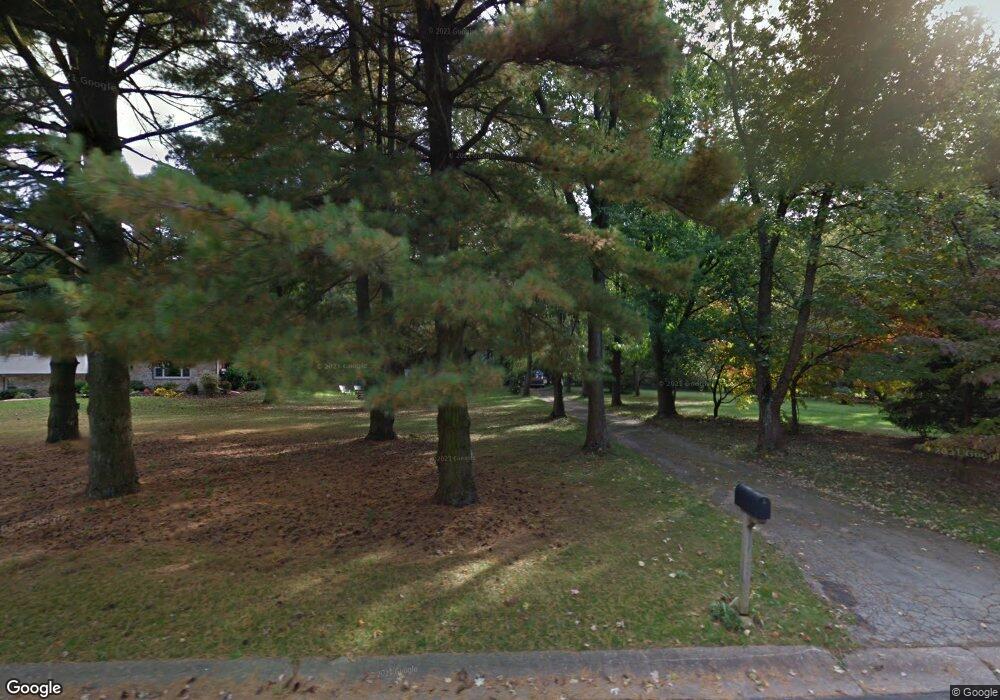
1002 Millstream Dr Malvern, PA 19355
Estimated Value: $589,000 - $681,000
3
Beds
3
Baths
1,584
Sq Ft
$397/Sq Ft
Est. Value
About This Home
This home is located at 1002 Millstream Dr, Malvern, PA 19355 and is currently estimated at $629,158, approximately $397 per square foot. 1002 Millstream Dr is a home located in Chester County with nearby schools including East Goshen Elementary School, J.R. Fugett Middle School, and West Chester East High School.
Ownership History
Date
Name
Owned For
Owner Type
Purchase Details
Closed on
Feb 10, 2025
Sold by
Haynie Richard A and Haynie Georgia M
Bought by
Rg Family Trust and Haynie
Current Estimated Value
Purchase Details
Closed on
Jun 1, 1978
Bought by
Haynie Richard A and Haynie Georgia M
Create a Home Valuation Report for This Property
The Home Valuation Report is an in-depth analysis detailing your home's value as well as a comparison with similar homes in the area
Home Values in the Area
Average Home Value in this Area
Purchase History
| Date | Buyer | Sale Price | Title Company |
|---|---|---|---|
| Rg Family Trust | -- | None Listed On Document | |
| Haynie Richard A | $72,500 | -- |
Source: Public Records
Tax History Compared to Growth
Tax History
| Year | Tax Paid | Tax Assessment Tax Assessment Total Assessment is a certain percentage of the fair market value that is determined by local assessors to be the total taxable value of land and additions on the property. | Land | Improvement |
|---|---|---|---|---|
| 2025 | $5,352 | $186,230 | $53,960 | $132,270 |
| 2024 | $5,352 | $186,230 | $53,960 | $132,270 |
| 2023 | $5,352 | $186,230 | $53,960 | $132,270 |
| 2022 | $5,189 | $186,230 | $53,960 | $132,270 |
| 2021 | $5,114 | $186,230 | $53,960 | $132,270 |
| 2020 | $5,081 | $186,230 | $53,960 | $132,270 |
| 2019 | $5,008 | $186,230 | $53,960 | $132,270 |
| 2018 | $4,898 | $186,230 | $53,960 | $132,270 |
| 2017 | $4,789 | $186,230 | $53,960 | $132,270 |
| 2016 | $4,251 | $186,230 | $53,960 | $132,270 |
| 2015 | $4,251 | $186,230 | $53,960 | $132,270 |
| 2014 | $4,251 | $186,230 | $53,960 | $132,270 |
Source: Public Records
Map
Nearby Homes
- THE DELCHESTER
- THE PRESCOTT - Millstone Cir
- THE GREENBRIAR - Millstone Cir
- THE WARREN - Millstone Cir
- 13 Anthony Dr
- 1203 Upton Cir
- 2 Hersheys Dr
- 629 Glenwood Ln
- 1243 Princeton Ln
- 1414 Morstein Rd
- 1060 W King Rd
- 600 Franklin Way
- 1237 W King Rd
- 166 Sproul Rd
- 37 Ruth Cir
- 1200 Waterford Rd
- 516 Eaton Way
- 141 Chandler Dr
- 1577 Vassar Ct
- 505 Eaton Way
- 1006 Millstream Dr
- 1004 Millstream Dr
- 1000 Millstream Dr
- 1008 Millstream Dr
- 1005 Millstream Dr
- 1003 Millstream Dr
- 1007 Millstream Dr
- 990 Hershey Mill Rd
- 1001 Millstream Dr
- 1010 Millstream Dr
- 1009 Millstream Dr
- 1011 Millstream Dr
- 1010 Hershey Mill Rd
- 1012 Millstream Dr
- 981 Hershey Mill Rd
- 1013 Millstream Dr
- 1013 Hershey Mill Rd
- THE DELCHESTER Millstone Way
- THE GREENBRIAR - Millstone Circle (Gps 1010 Hershey Mill Road)
- THE PRESCOTT - Millstone Circle ( Gps 1010 Hershey Mill Road)