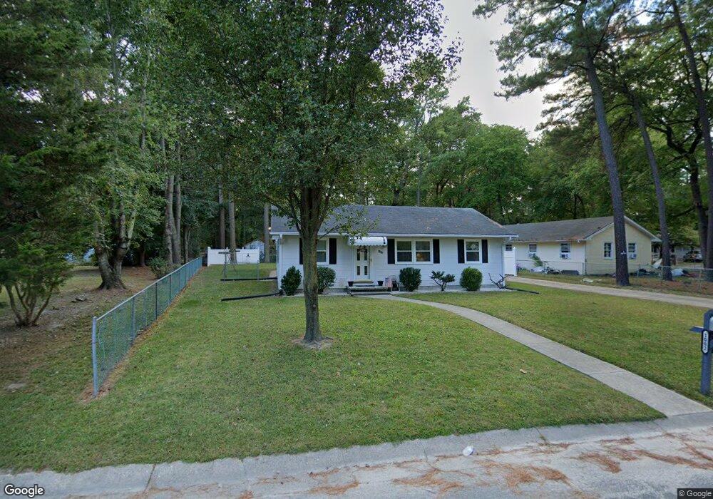
1002 Mohawk Ave Salisbury, MD 21801
North Salisbury NeighborhoodEstimated Value: $111,000 - $191,000
Studio
1
Bath
912
Sq Ft
$156/Sq Ft
Est. Value
About This Home
This home is located at 1002 Mohawk Ave, Salisbury, MD 21801 and is currently estimated at $142,279, approximately $156 per square foot. 1002 Mohawk Ave is a home located in Wicomico County with nearby schools including Charles H. Chipman Elementary School, Glen Avenue Elementary School, and Salisbury Middle School.
Ownership History
Date
Name
Owned For
Owner Type
Purchase Details
Closed on
Sep 23, 1986
Sold by
Ashcraft Troy W
Bought by
Bynum Charlie
Current Estimated Value
Home Financials for this Owner
Home Financials are based on the most recent Mortgage that was taken out on this home.
Original Mortgage
$28,000
Interest Rate
10.07%
Purchase Details
Closed on
Mar 15, 1982
Sold by
Sec Of Housing & Urban Development
Bought by
Ashcraft Troy W
Purchase Details
Closed on
Jun 25, 1981
Sold by
Dawson Roy and Dawson Florette R
Bought by
Sec Of Housing & Urban Development
Create a Home Valuation Report for This Property
The Home Valuation Report is an in-depth analysis detailing your home's value as well as a comparison with similar homes in the area
Home Values in the Area
Average Home Value in this Area
Purchase History
| Date | Buyer | Sale Price | Title Company |
|---|---|---|---|
| Bynum Charlie | $30,000 | -- | |
| Ashcraft Troy W | $12,600 | -- | |
| Sec Of Housing & Urban Development | $5,000 | -- |
Source: Public Records
Mortgage History
| Date | Status | Borrower | Loan Amount |
|---|---|---|---|
| Closed | Bynum Charlie | $28,000 |
Source: Public Records
Tax History
| Year | Tax Paid | Tax Assessment Tax Assessment Total Assessment is a certain percentage of the fair market value that is determined by local assessors to be the total taxable value of land and additions on the property. | Land | Improvement |
|---|---|---|---|---|
| 2025 | $724 | $102,067 | $0 | $0 |
| 2024 | $718 | $89,633 | $0 | $0 |
| 2023 | $700 | $77,200 | $13,500 | $63,700 |
| 2022 | $685 | $71,633 | $0 | $0 |
| 2021 | $624 | $66,067 | $0 | $0 |
| 2020 | $624 | $60,500 | $13,500 | $47,000 |
| 2019 | $609 | $58,167 | $0 | $0 |
| 2018 | $587 | $55,833 | $0 | $0 |
| 2017 | $563 | $53,500 | $0 | $0 |
| 2016 | -- | $53,500 | $0 | $0 |
| 2015 | $667 | $53,500 | $0 | $0 |
| 2014 | $667 | $63,900 | $0 | $0 |
Source: Public Records
Map
Nearby Homes
- 0 Morris St
- 806 Mohawk Ave
- 906 Powhatan Blvd
- 1201 Tuscola Ave
- 735 N Westover Dr
- 731 N Westover Dr
- 1201 Shawnee Ave
- 800 East Rd
- 0 S Delano Ave
- 0 N Delano Ave Unit MDWC2010148
- 1028 Delaware Ave
- 902 Lake St
- 0 Queen Ave Unit MDWC2006982
- 701 Lake St Unit 1
- 813 Marquis Ave
- 403 Rose St
- 827 Marquis Ave
- 28570 Ocean Gateway
- 313 Penn St
- 317 Delaware Ave
Your Personal Tour Guide
Ask me questions while you tour the home.