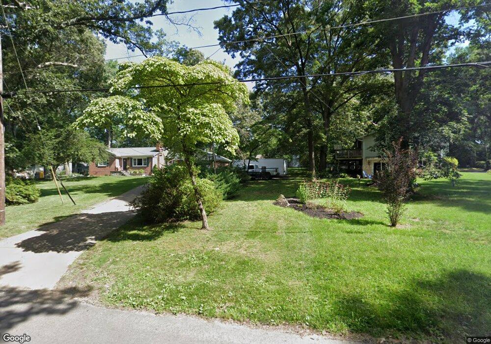
1002 Omar Dr Crownsville, MD 21032
Arden on the Severn NeighborhoodEstimated Value: $184,000 - $375,000
--
Bed
--
Bath
--
Sq Ft
0.33
Acres
About This Home
This home is located at 1002 Omar Dr, Crownsville, MD 21032 and is currently estimated at $273,667. 1002 Omar Dr is a home located in Anne Arundel County with nearby schools including Millersville Elementary School, Old Mill High School, and Rockbridge Academy.
Ownership History
Date
Name
Owned For
Owner Type
Purchase Details
Closed on
Apr 23, 2019
Sold by
Solan Thomas H and Solan Brenda A
Bought by
Carr Bruce W and Carr Heather C
Current Estimated Value
Home Financials for this Owner
Home Financials are based on the most recent Mortgage that was taken out on this home.
Original Mortgage
$358,150
Outstanding Balance
$314,878
Interest Rate
4.3%
Mortgage Type
Future Advance Clause Open End Mortgage
Estimated Equity
-$41,211
Purchase Details
Closed on
Nov 12, 2004
Sold by
Gold Harry M
Bought by
Solan Thomas H and Solan Brenda A
Create a Home Valuation Report for This Property
The Home Valuation Report is an in-depth analysis detailing your home's value as well as a comparison with similar homes in the area
Home Values in the Area
Average Home Value in this Area
Purchase History
| Date | Buyer | Sale Price | Title Company |
|---|---|---|---|
| Carr Bruce W | $350,000 | Freestate Ttl Svcs Of Annapo | |
| Solan Thomas H | $292,500 | -- |
Source: Public Records
Mortgage History
| Date | Status | Borrower | Loan Amount |
|---|---|---|---|
| Open | Carr Bruce W | $358,150 | |
| Closed | Solan Thomas H | -- |
Source: Public Records
Tax History Compared to Growth
Tax History
| Year | Tax Paid | Tax Assessment Tax Assessment Total Assessment is a certain percentage of the fair market value that is determined by local assessors to be the total taxable value of land and additions on the property. | Land | Improvement |
|---|---|---|---|---|
| 2025 | $126 | $11,500 | $11,500 | -- |
| 2024 | $126 | $11,500 | $11,500 | $0 |
| 2023 | $126 | $11,500 | $11,500 | $0 |
| 2022 | $120 | $11,500 | $11,500 | $0 |
| 2021 | $0 | $11,500 | $11,500 | $0 |
| 2020 | $3,704 | $11,500 | $11,500 | $0 |
| 2019 | $3,637 | $11,500 | $11,500 | $0 |
| 2018 | $117 | $11,500 | $11,500 | $0 |
| 2017 | $118 | $11,500 | $0 | $0 |
| 2016 | -- | $11,500 | $0 | $0 |
| 2015 | -- | $11,500 | $0 | $0 |
| 2014 | -- | $11,500 | $0 | $0 |
Source: Public Records
Map
Nearby Homes
- 1001 Omar Dr
- 1003 Omar Dr
- 1116 Ridge Place
- 1013 Plum Creek Dr
- 1037 Dockser Dr
- 366 Walnut Trail
- 717 Whitneys Landing Dr
- 0 Beech Trail
- 600 Hidden Pond Ln
- 514 Harlequin Ln
- 0 Elm Trail
- 596 West Dr
- 508 Ashberry Ln
- 330 S Riverside Dr
- 809 Pin Oak Rd
- 143 Boone Trail
- 0 Redwood Trail Unit MDAA2111808
- 0 Redwood Trail Unit MDAA2111804
- 0 Whitewood Trail
- 355 Kyle Rd
- 1001 Shore View Cir
- 1004 Omar Dr
- 1039 Shore View Cir
- 1000 Shore View Cir
- 1002 Shore View Cir
- 1004 Shore View Cir
- 1021 Shore View Cir
- 1017 Shore View Cir
- 1038 Shore View Cir
- 1013 Shore View Cir
- 1025 Shore View Cir
- 1036 Shore View Cir
- 1006 Shore View Cir
- 1008 Omar Dr
- 1029 Shore View Cir
- 1009 Shore End Dr
- 1011 Shore End Dr
- 1034 Shore View Cir
- 1010 Omar Dr
- 1012 Shore View Cir