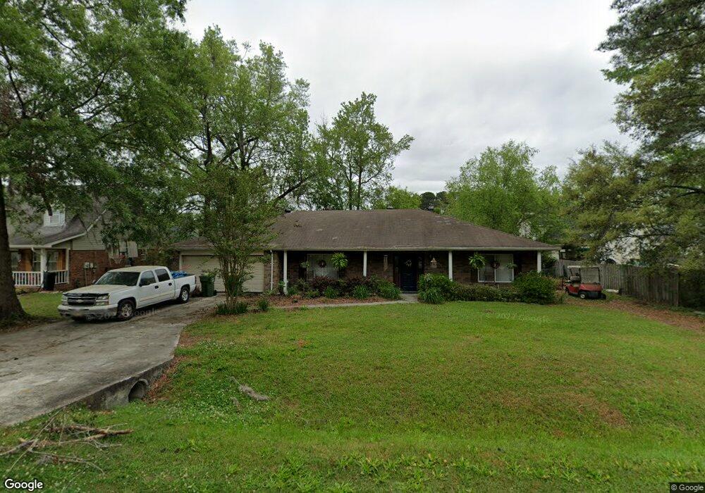
1002 Plantation Dr Pooler, GA 31322
Estimated Value: $312,647 - $386,000
3
Beds
2
Baths
1,905
Sq Ft
$182/Sq Ft
Est. Value
About This Home
This home is located at 1002 Plantation Dr, Pooler, GA 31322 and is currently estimated at $346,662, approximately $181 per square foot. 1002 Plantation Dr is a home located in Chatham County with nearby schools including Pooler Elementary School, West Chatham Middle School, and Groves High School.
Ownership History
Date
Name
Owned For
Owner Type
Purchase Details
Closed on
Oct 29, 2021
Sold by
Droste Jeannie
Bought by
Smith Nicholas Adam
Current Estimated Value
Purchase Details
Closed on
Mar 18, 2011
Sold by
Fannie Mae
Bought by
Droste Jeannie
Purchase Details
Closed on
Aug 3, 2010
Sold by
Bac Home Loans Servicing L
Bought by
Federal National Mtg Associati
Purchase Details
Closed on
Dec 26, 2007
Sold by
Not Provided
Bought by
Droste Jeannie
Home Financials for this Owner
Home Financials are based on the most recent Mortgage that was taken out on this home.
Original Mortgage
$225,000
Interest Rate
6.05%
Mortgage Type
New Conventional
Create a Home Valuation Report for This Property
The Home Valuation Report is an in-depth analysis detailing your home's value as well as a comparison with similar homes in the area
Home Values in the Area
Average Home Value in this Area
Purchase History
| Date | Buyer | Sale Price | Title Company |
|---|---|---|---|
| Smith Nicholas Adam | -- | -- | |
| Droste Jeannie | -- | -- | |
| Droste Jeannie | -- | -- | |
| Federal National Mtg Associati | $199,135 | -- | |
| Bac Home Loans Servicing Lp | $199,135 | -- | |
| Droste Jeannie | $250,000 | -- |
Source: Public Records
Mortgage History
| Date | Status | Borrower | Loan Amount |
|---|---|---|---|
| Previous Owner | Droste Jeannie | $225,000 |
Source: Public Records
Tax History Compared to Growth
Tax History
| Year | Tax Paid | Tax Assessment Tax Assessment Total Assessment is a certain percentage of the fair market value that is determined by local assessors to be the total taxable value of land and additions on the property. | Land | Improvement |
|---|---|---|---|---|
| 2025 | $1,856 | $107,040 | $30,000 | $77,040 |
| 2024 | $1,856 | $107,800 | $30,000 | $77,800 |
| 2023 | $1,220 | $102,080 | $24,000 | $78,080 |
| 2022 | $1,760 | $94,320 | $24,000 | $70,320 |
| 2021 | $1,771 | $72,760 | $16,000 | $56,760 |
| 2020 | $1,720 | $72,760 | $16,000 | $56,760 |
| 2019 | $1,719 | $72,760 | $16,000 | $56,760 |
| 2018 | $3,217 | $77,280 | $16,000 | $61,280 |
| 2017 | $4,874 | $63,000 | $13,600 | $49,400 |
| 2016 | $1,545 | $62,280 | $13,600 | $48,680 |
| 2015 | $2,294 | $63,000 | $13,600 | $49,400 |
| 2014 | $2,237 | $52,200 | $0 | $0 |
Source: Public Records
Map
Nearby Homes
- 1044 Woodland Dr
- 512 Everett Dr
- 1333 La Vista Cir
- 221 Durham Park Way
- 155 Village Lake Dr
- 255 Durham Park Way
- 149 Village Lake Dr
- 160 Conaway Rd
- 411 Copper Creek Cir
- 4 Grand View Ct
- 512 Gleason Ave
- 263 Silver Brook Cir
- 5 Lake Heron Ct W
- 1 Lanier Ct
- 220 Holly Ave
- 604 W Tietgen St
- 146 Royal Ln
- Richmond Plan at Forest Lakes
- Spring Valley II Plan at Forest Lakes
- Pinehurst II Plan at Forest Lakes
- 1006 Plantation Dr
- 419 Musket Ct
- 409 Musket Ct
- 405 Musket Ct
- 421 Musket Ct
- 413 Musket Ct
- 404 Everett Dr
- 1001 Woodland Dr
- 1004 Woodland Dr
- 428 Musket Ct
- 424 Musket Ct
- 404 Musket Ct
- 420 Musket Ct
- 408 Musket Ct
- 1005 Woodland Dr
- 1103 Plantation Dr
- 400 Musket Ct
- 416 Musket Ct
- 1104 Plantation Dr
- 412 Musket Ct