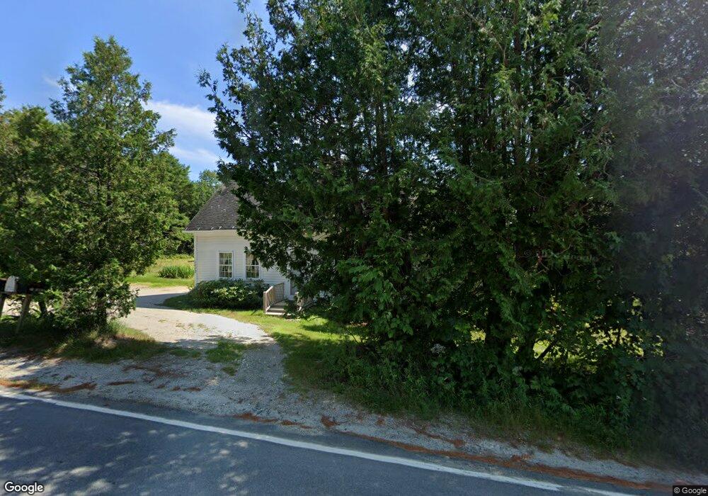
1002 Reach Rd Brooklin, ME 04616
Estimated Value: $300,571 - $392,000
1
Bed
1
Bath
504
Sq Ft
$718/Sq Ft
Est. Value
About This Home
This home is located at 1002 Reach Rd, Brooklin, ME 04616 and is currently estimated at $361,893, approximately $718 per square foot. 1002 Reach Rd is a home with nearby schools including Brooklin School and Eggemoggin Christian Academy.
Ownership History
Date
Name
Owned For
Owner Type
Purchase Details
Closed on
Nov 22, 2017
Sold by
Thomas N Schroth Ft
Bought by
Mccall Robert M and Mccall Rebecca H
Current Estimated Value
Home Financials for this Owner
Home Financials are based on the most recent Mortgage that was taken out on this home.
Original Mortgage
$80,000
Outstanding Balance
$66,503
Interest Rate
3.91%
Mortgage Type
New Conventional
Estimated Equity
$295,390
Create a Home Valuation Report for This Property
The Home Valuation Report is an in-depth analysis detailing your home's value as well as a comparison with similar homes in the area
Purchase History
| Date | Buyer | Sale Price | Title Company |
|---|---|---|---|
| Mccall Robert M | -- | -- |
Source: Public Records
Mortgage History
| Date | Status | Borrower | Loan Amount |
|---|---|---|---|
| Open | Mccall Robert M | $80,000 |
Source: Public Records
Tax History
| Year | Tax Paid | Tax Assessment Tax Assessment Total Assessment is a certain percentage of the fair market value that is determined by local assessors to be the total taxable value of land and additions on the property. | Land | Improvement |
|---|---|---|---|---|
| 2024 | $1,567 | $214,600 | $78,800 | $135,800 |
| 2023 | $1,359 | $186,100 | $78,800 | $107,300 |
| 2022 | $1,221 | $165,000 | $73,800 | $91,200 |
| 2021 | $1,249 | $165,000 | $73,800 | $91,200 |
| 2020 | $1,205 | $165,000 | $73,800 | $91,200 |
| 2019 | $1,120 | $150,400 | $73,800 | $76,600 |
| 2018 | $1,113 | $150,400 | $73,800 | $76,600 |
| 2017 | $1,098 | $150,400 | $73,800 | $76,600 |
| 2016 | $1,083 | $150,400 | $73,800 | $76,600 |
| 2015 | $1,083 | $150,400 | $73,800 | $76,600 |
| 2014 | $1,083 | $150,400 | $73,800 | $76,600 |
| 2013 | $993 | $150,400 | $73,800 | $76,600 |
Source: Public Records
Map
Nearby Homes
- 284 Christy Hill Rd
- 9 River Rd Unit Lot 6
- 9 River Rd Unit Lot 3
- 75 Old Cove Ln
- 392 Bay Rd
- 138 Caterpillar Hill Rd
- 70 Owens Way
- 30 Hardys Hill Rd
- 107 Acadian Oak Ln
- 08-02A Sedgwick Ridge Rd
- 539 Sedgwick Ridge Rd
- 00 Periwinkle Ln
- 0 Flye Point Unit Lot 3
- 594 N Deer Isle Rd
- 36 Wiegand Place
- Lot 6 Sunset Rd
- 435 Herrick Rd
- Lot #3 Blueberry Ridge Way
- 144 Bagaduce Rd
- 0 Route 175 Unit 1622156
Your Personal Tour Guide
Ask me questions while you tour the home.