Estimated Value: $92,000 - $161,499
3
Beds
1
Bath
1,325
Sq Ft
$99/Sq Ft
Est. Value
About This Home
This home is located at 1002 Roark Rd, Olla, LA 71465 and is currently estimated at $131,833, approximately $99 per square foot. 1002 Roark Rd is a home.
Ownership History
Date
Name
Owned For
Owner Type
Purchase Details
Closed on
Feb 19, 2019
Sold by
Floyd Daryle Wayne and Floyd Cheryl Laura
Bought by
Mcpherson Parrott Jr Gervis Dale and Mcpherson Parrott Danielle Nicole
Current Estimated Value
Home Financials for this Owner
Home Financials are based on the most recent Mortgage that was taken out on this home.
Original Mortgage
$101,010
Outstanding Balance
$87,897
Interest Rate
4.4%
Mortgage Type
New Conventional
Estimated Equity
$43,936
Purchase Details
Closed on
Oct 27, 2010
Sold by
Brewer Lori L
Bought by
Floyd Daryl Wayne and Floyd Cheryl Laura
Create a Home Valuation Report for This Property
The Home Valuation Report is an in-depth analysis detailing your home's value as well as a comparison with similar homes in the area
Purchase History
| Date | Buyer | Sale Price | Title Company |
|---|---|---|---|
| Mcpherson Parrott Jr Gervis Dale | $100,000 | None Available | |
| Floyd Daryl Wayne | $36,500 | -- |
Source: Public Records
Mortgage History
| Date | Status | Borrower | Loan Amount |
|---|---|---|---|
| Open | Mcpherson Parrott Jr Gervis Dale | $101,010 |
Source: Public Records
Tax History
| Year | Tax Paid | Tax Assessment Tax Assessment Total Assessment is a certain percentage of the fair market value that is determined by local assessors to be the total taxable value of land and additions on the property. | Land | Improvement |
|---|---|---|---|---|
| 2025 | $1,526 | $11,144 | $190 | $10,954 |
| 2024 | $1,526 | $11,144 | $190 | $10,954 |
| 2023 | $1,481 | $9,500 | $190 | $9,310 |
| 2022 | $1,481 | $9,500 | $190 | $9,310 |
| 2021 | $1,481 | $9,500 | $190 | $9,310 |
| 2020 | $1,564 | $9,500 | $190 | $9,310 |
| 2019 | $1,342 | $8,050 | $190 | $7,860 |
| 2018 | $1,342 | $8,050 | $190 | $7,860 |
| 2017 | $1,342 | $8,050 | $190 | $7,860 |
| 2016 | $1,342 | $8,050 | $190 | $7,860 |
| 2015 | $1,199 | $6,940 | $190 | $6,750 |
| 2013 | $1,199 | $6,940 | $190 | $6,750 |
Source: Public Records
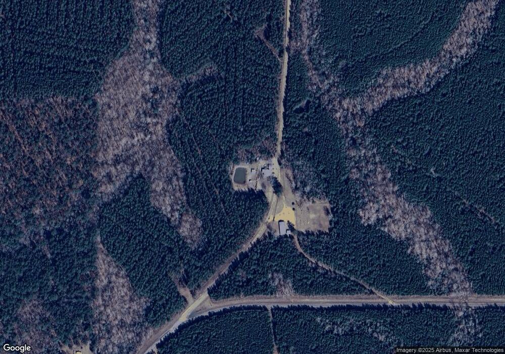
Map
Nearby Homes
- 0 Louisiana 771
- 727 Browntown Rd
- 2075 Hemphill Dr
- 1968 Dogwood Dr
- 00 Austin Rd
- 1580 Nugent St
- 190 Coleman Valley Loop
- 439 Hwy 772 E Hwy
- 1116 Hudson St
- T-1 Louisiana 127
- T-2 Louisiana 127
- 0 Tarver Rd Unit 25813050
- 1685 Hodges St
- 610 Pecan St
- 5906 Aimwell Rd
- 690 Louisiana 772
- TBD Greens Creek Rd
- 1474 Jackson St
- 353 Greens Creek Rd
- 1083 Holmes Dr
Your Personal Tour Guide
Ask me questions while you tour the home.