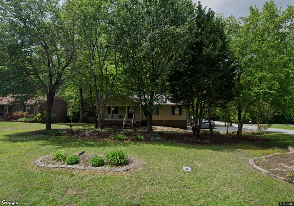
1002 Springwood Ln Archdale, NC 27263
Estimated Value: $274,489 - $302,000
--
Bed
2
Baths
1,400
Sq Ft
$209/Sq Ft
Est. Value
About This Home
This home is located at 1002 Springwood Ln, Archdale, NC 27263 and is currently estimated at $292,372, approximately $208 per square foot. 1002 Springwood Ln is a home located in Randolph County with nearby schools including Trindale Elementary School, Wheatmore Middle School, and Wheatmore High School.
Ownership History
Date
Name
Owned For
Owner Type
Purchase Details
Closed on
Oct 26, 2022
Sold by
Allnutt Patricia Ann
Bought by
Landrum Joseph Eugene and Padgett Tabitha Hurley
Current Estimated Value
Home Financials for this Owner
Home Financials are based on the most recent Mortgage that was taken out on this home.
Original Mortgage
$190,000
Outstanding Balance
$183,034
Interest Rate
6.02%
Mortgage Type
New Conventional
Estimated Equity
$109,338
Purchase Details
Closed on
Jul 6, 1998
Bought by
Allnutt Patricia A
Create a Home Valuation Report for This Property
The Home Valuation Report is an in-depth analysis detailing your home's value as well as a comparison with similar homes in the area
Home Values in the Area
Average Home Value in this Area
Purchase History
| Date | Buyer | Sale Price | Title Company |
|---|---|---|---|
| Landrum Joseph Eugene | $240,000 | -- | |
| Allnutt Patricia A | $139,900 | -- |
Source: Public Records
Mortgage History
| Date | Status | Borrower | Loan Amount |
|---|---|---|---|
| Open | Landrum Joseph Eugene | $190,000 |
Source: Public Records
Tax History Compared to Growth
Tax History
| Year | Tax Paid | Tax Assessment Tax Assessment Total Assessment is a certain percentage of the fair market value that is determined by local assessors to be the total taxable value of land and additions on the property. | Land | Improvement |
|---|---|---|---|---|
| 2024 | $2,456 | $237,870 | $56,890 | $180,980 |
| 2023 | $2,456 | $237,870 | $56,890 | $180,980 |
| 2022 | $1,884 | $159,030 | $25,690 | $133,340 |
| 2021 | $1,884 | $159,030 | $25,690 | $133,340 |
| 2020 | $1,841 | $159,030 | $25,690 | $133,340 |
| 2019 | $1,841 | $159,030 | $25,690 | $133,340 |
| 2018 | $1,719 | $144,740 | $23,690 | $121,050 |
| 2016 | $1,685 | $144,739 | $23,690 | $121,049 |
| 2015 | $1,689 | $144,739 | $23,690 | $121,049 |
| 2014 | -- | $144,739 | $23,690 | $121,049 |
Source: Public Records
Map
Nearby Homes
- 101 Blair Dr
- 0-A Us Highway 311
- 5110 Country Ln
- 0 Interstate Dr
- 118 Rand Blvd
- 3827 Wood Ave
- 0-C Us Highway 311
- 0 Sprucewood Ct
- 110 Deerfield Place
- 108 Sprucewood Ct
- 1206 Byron Ln
- 305 Trey Ln
- 204 Aldridge Ln
- 9622 Us Highway 311
- 5045 Lake Darr Rd
- 104 Autumn Hill Ct
- 5327 Grey Oaks Rd
- 4996 Darr Rd
- 4717 Deaton Rd
- 512 Dale St
- 1004 Springwood Ln
- 1006 Springwood Ln
- 609 Robin Ln
- 607 Robin Ln
- 611 Robin Ln
- 501 Robin Ct
- 1001 Springwood Ln
- 1008 Springwood Ln
- 701 Robin Ln
- 505 Robin Ct
- 603 Robin Ln
- 1005 Springwood Ln
- 703 Robin Ln
- 1007 Springwood Ln
- 1010 Springwood Ln
- 4700 Roby Dr
- 4702 Roby Dr
- 599 Robin Ln
- 705 Robin Ln
- 323 Blair Dr