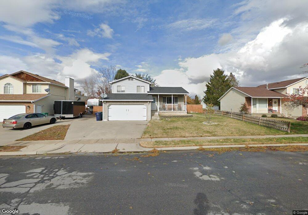
1002 W 450 S Layton, UT 84041
Estimated Value: $456,000 - $480,000
3
Beds
2
Baths
1,539
Sq Ft
$304/Sq Ft
Est. Value
About This Home
This home is located at 1002 W 450 S, Layton, UT 84041 and is currently estimated at $467,780, approximately $303 per square foot. 1002 W 450 S is a home located in Davis County with nearby schools including Heritage Elementary School, Shoreline Junior High School, and Layton High School.
Ownership History
Date
Name
Owned For
Owner Type
Purchase Details
Closed on
Feb 13, 2012
Sold by
Powell James L and Powell Bonnie F
Bought by
Talbot Mitchell R
Current Estimated Value
Home Financials for this Owner
Home Financials are based on the most recent Mortgage that was taken out on this home.
Original Mortgage
$6,300
Outstanding Balance
$4,274
Interest Rate
3.84%
Mortgage Type
Stand Alone Second
Estimated Equity
$463,506
Purchase Details
Closed on
Jan 14, 2000
Sold by
Wiggins Lorrie
Bought by
Powell James L and Powell Bonnie F
Purchase Details
Closed on
Oct 26, 1996
Sold by
Wiggins Frank E
Bought by
Wiggins Lorrie
Create a Home Valuation Report for This Property
The Home Valuation Report is an in-depth analysis detailing your home's value as well as a comparison with similar homes in the area
Home Values in the Area
Average Home Value in this Area
Purchase History
| Date | Buyer | Sale Price | Title Company |
|---|---|---|---|
| Talbot Mitchell R | -- | Security Title Of Dav | |
| Powell James L | -- | Bonneville Title Company Inc | |
| Wiggins Lorrie | -- | -- |
Source: Public Records
Mortgage History
| Date | Status | Borrower | Loan Amount |
|---|---|---|---|
| Open | Talbot Mitchell R | $6,300 | |
| Open | Talbot Mitchell R | $146,197 |
Source: Public Records
Tax History Compared to Growth
Tax History
| Year | Tax Paid | Tax Assessment Tax Assessment Total Assessment is a certain percentage of the fair market value that is determined by local assessors to be the total taxable value of land and additions on the property. | Land | Improvement |
|---|---|---|---|---|
| 2025 | $2,175 | $228,251 | $106,211 | $122,040 |
| 2024 | $2,096 | $221,650 | $118,446 | $103,204 |
| 2023 | $2,007 | $374,000 | $115,293 | $258,707 |
| 2022 | $2,179 | $220,550 | $73,391 | $147,159 |
| 2021 | $1,888 | $285,000 | $110,122 | $174,878 |
| 2020 | $1,699 | $246,000 | $92,264 | $153,736 |
| 2019 | $1,629 | $231,000 | $95,783 | $135,217 |
| 2018 | $1,482 | $211,000 | $83,884 | $127,116 |
| 2016 | $1,308 | $96,085 | $32,390 | $63,695 |
| 2015 | $1,252 | $87,285 | $32,390 | $54,895 |
| 2014 | $1,267 | $90,357 | $32,390 | $57,967 |
| 2013 | -- | $95,873 | $22,748 | $73,125 |
Source: Public Records
Map
Nearby Homes
- 362 S 950 W
- 562 S 850 W
- 296 S 950 W
- 557 S Angel St
- 933 W Gentile St
- 774 W Farming Way
- 750 W Gentile St
- 267 S Melody St
- 1042 W Shoreline Dr
- 1038 S Old Towne Rd
- 485 W 100 N
- Creighton Farmhouse Plan at Angel Hill
- 355 W Gentile St
- 356 W 25 N
- 174 W Dawson St
- 796 S Rock Creek Corner
- 6 Grover St
- Browning Plan at Amber Fields
- Rhapsody Plan at Amber Fields
- Accord Plan at Amber Fields