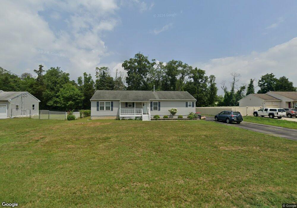
1002 W Wheat Rd Vineland, NJ 08360
Estimated Value: $291,290 - $370,000
--
Bed
--
Bath
1,680
Sq Ft
$193/Sq Ft
Est. Value
About This Home
This home is located at 1002 W Wheat Rd, Vineland, NJ 08360 and is currently estimated at $324,823, approximately $193 per square foot. 1002 W Wheat Rd is a home located in Cumberland County with nearby schools including Marie D. Durand Elementary School, T.W. Wallace Middle School, and Vineland Senior High School.
Ownership History
Date
Name
Owned For
Owner Type
Purchase Details
Closed on
Jan 3, 2025
Sold by
Darby Eric W and Darby Beatrice A
Bought by
Darby Beatrice A
Current Estimated Value
Purchase Details
Closed on
Feb 21, 2007
Sold by
Darby Beatrice A
Bought by
Darby Beatrice A and Darby Eric
Purchase Details
Closed on
Nov 18, 2005
Sold by
Craven David A
Bought by
Craven David and Craven Lisa
Create a Home Valuation Report for This Property
The Home Valuation Report is an in-depth analysis detailing your home's value as well as a comparison with similar homes in the area
Home Values in the Area
Average Home Value in this Area
Purchase History
| Date | Buyer | Sale Price | Title Company |
|---|---|---|---|
| Darby Beatrice A | -- | None Listed On Document | |
| Darby Beatrice A | -- | None Listed On Document | |
| Darby Beatrice A | -- | None Listed On Document | |
| Darby Beatrice A | -- | -- | |
| Craven David | -- | -- |
Source: Public Records
Tax History Compared to Growth
Tax History
| Year | Tax Paid | Tax Assessment Tax Assessment Total Assessment is a certain percentage of the fair market value that is determined by local assessors to be the total taxable value of land and additions on the property. | Land | Improvement |
|---|---|---|---|---|
| 2025 | $6,008 | $188,700 | $30,200 | $158,500 |
| 2024 | $6,008 | $188,700 | $30,200 | $158,500 |
| 2023 | $5,969 | $188,700 | $30,200 | $158,500 |
| 2022 | $5,791 | $188,700 | $30,200 | $158,500 |
| 2021 | $5,686 | $188,700 | $30,200 | $158,500 |
| 2020 | $5,523 | $188,700 | $30,200 | $158,500 |
| 2019 | $5,448 | $188,700 | $30,200 | $158,500 |
| 2018 | $5,304 | $188,700 | $30,200 | $158,500 |
| 2017 | $5,038 | $188,700 | $30,200 | $158,500 |
| 2016 | $4,861 | $188,700 | $30,200 | $158,500 |
| 2015 | $4,682 | $188,700 | $30,200 | $158,500 |
| 2014 | $4,427 | $188,700 | $30,200 | $158,500 |
Source: Public Records
Map
Nearby Homes
- 1811 N Delsea Dr Unit 4
- 1489 N Delsea Dr
- 1887 N Delsea Dr Unit 135 HOLLY HOCK DR.
- 1887 N Delsea Dr Unit 19
- 1887 N Delsea Dr Unit 39
- 663 Wayne Ave
- 1020 W Oak Rd
- 1032 W Oak Rd
- 1050 W Oak Rd
- 1252 W Oak Rd
- 1392 W Oak Rd
- 811 W Garden Rd
- 1111 N Orchard Rd
- 829 W Garden Rd
- 2246 N West Ave
- 1469 N Mill Rd
- 1378 Venus Dr
- 1573 Neptune Terrace
- 1632 W Garden Rd
- 105 Oxford St
- 990 W Wheat Rd
- 1030 W Wheat Rd
- 1003 W Wheat Rd
- 1033 W Wheat Rd
- 981 W Wheat Rd
- 1061 W Wheat Rd
- 963 W Wheat Rd
- 1066 W Wheat Rd
- 1600 N Delsea Dr
- 1720 N Delsea Dr
- 1073 W Wheat Rd
- 1710 N Delsea Dr
- 1752 N Delsea Dr
- 1097 W Wheat Rd
- 1728 N Delsea Dr
- 1701 Hubbard Ln
- 1665 N Delsea Dr
- 1756 N Delsea Dr
- 1715 Hubbard Ln
- 1122 W Wheat Rd