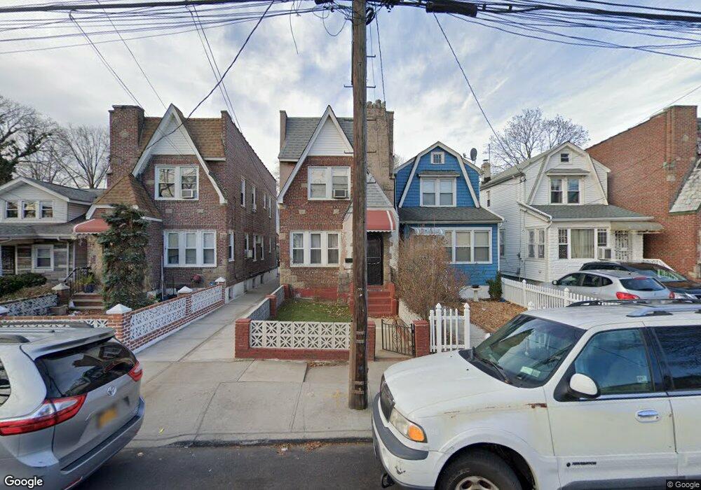
10020 202nd St Hollis, NY 11423
Hollis NeighborhoodEstimated Value: $612,000 - $803,000
--
Bed
--
Bath
1,280
Sq Ft
$560/Sq Ft
Est. Value
About This Home
This home is located at 10020 202nd St, Hollis, NY 11423 and is currently estimated at $717,376, approximately $560 per square foot. 10020 202nd St is a home located in Queens County with nearby schools including P.S. 134 Langston Hughes School, I.S. 192 The Linden, and Wellspring Elementary & Middle.
Ownership History
Date
Name
Owned For
Owner Type
Purchase Details
Closed on
Jan 21, 2021
Sold by
Long Island City Developers Llc
Bought by
Keita Brahima and Keita Makan
Current Estimated Value
Home Financials for this Owner
Home Financials are based on the most recent Mortgage that was taken out on this home.
Original Mortgage
$584,223
Outstanding Balance
$520,407
Interest Rate
2.6%
Mortgage Type
Purchase Money Mortgage
Estimated Equity
$196,969
Purchase Details
Closed on
Mar 7, 2019
Sold by
Passley David and Passley Marie
Bought by
Long Island City Developers Llc
Home Financials for this Owner
Home Financials are based on the most recent Mortgage that was taken out on this home.
Original Mortgage
$225,000
Interest Rate
4%
Mortgage Type
Purchase Money Mortgage
Purchase Details
Closed on
Oct 26, 2000
Sold by
Galit Development Corp
Bought by
Passley Marie and Passley David
Home Financials for this Owner
Home Financials are based on the most recent Mortgage that was taken out on this home.
Original Mortgage
$217,150
Interest Rate
7.78%
Mortgage Type
FHA
Purchase Details
Closed on
Jul 7, 2000
Sold by
Hud
Bought by
Galit Network Llc
Home Financials for this Owner
Home Financials are based on the most recent Mortgage that was taken out on this home.
Original Mortgage
$135,200
Interest Rate
15%
Mortgage Type
Stand Alone First
Purchase Details
Closed on
Oct 13, 1995
Sold by
Aime Yves
Bought by
Aubourg Ronald
Home Financials for this Owner
Home Financials are based on the most recent Mortgage that was taken out on this home.
Original Mortgage
$154,900
Interest Rate
7.58%
Mortgage Type
FHA
Purchase Details
Closed on
Oct 12, 1995
Sold by
Toney Marjorie
Bought by
Aime Yves
Home Financials for this Owner
Home Financials are based on the most recent Mortgage that was taken out on this home.
Original Mortgage
$154,900
Interest Rate
7.58%
Mortgage Type
FHA
Purchase Details
Closed on
Nov 29, 1994
Sold by
Louis Elizabeth
Bought by
Toney Marjorie
Create a Home Valuation Report for This Property
The Home Valuation Report is an in-depth analysis detailing your home's value as well as a comparison with similar homes in the area
Home Values in the Area
Average Home Value in this Area
Purchase History
| Date | Buyer | Sale Price | Title Company |
|---|---|---|---|
| Keita Brahima | $595,000 | -- | |
| Long Island City Developers Llc | $225,000 | -- | |
| Passley Marie | $219,000 | Fidelity National Title Ins | |
| Galit Network Llc | $158,000 | -- | |
| Aubourg Ronald | $155,000 | Chicago Title Insurance Co | |
| Aime Yves | -- | Chicago Title Insurance Co | |
| Toney Marjorie | -- | -- |
Source: Public Records
Mortgage History
| Date | Status | Borrower | Loan Amount |
|---|---|---|---|
| Open | Keita Brahima | $584,223 | |
| Previous Owner | Long Island City Developers Llc | $225,000 | |
| Previous Owner | Passley Marie | $217,150 | |
| Previous Owner | Galit Network Llc | $135,200 | |
| Previous Owner | Aubourg Ronald | $154,900 |
Source: Public Records
Tax History Compared to Growth
Tax History
| Year | Tax Paid | Tax Assessment Tax Assessment Total Assessment is a certain percentage of the fair market value that is determined by local assessors to be the total taxable value of land and additions on the property. | Land | Improvement |
|---|---|---|---|---|
| 2025 | $5,610 | $28,902 | $7,184 | $21,718 |
| 2024 | $5,610 | $27,932 | $7,339 | $20,593 |
| 2023 | $5,293 | $26,352 | $6,924 | $19,428 |
| 2022 | $5,140 | $38,220 | $10,500 | $27,720 |
| 2021 | $5,291 | $34,620 | $10,500 | $24,120 |
| 2020 | $5,098 | $29,760 | $10,500 | $19,260 |
| 2019 | $4,869 | $32,760 | $10,500 | $22,260 |
| 2018 | $4,477 | $21,960 | $9,283 | $12,677 |
| 2017 | $4,374 | $21,456 | $9,180 | $12,276 |
| 2016 | $4,188 | $21,456 | $9,180 | $12,276 |
| 2015 | $2,222 | $20,071 | $10,999 | $9,072 |
| 2014 | $2,222 | $19,398 | $10,338 | $9,060 |
Source: Public Records
Map
Nearby Homes
- 99-11 200th St
- 104-28 201st St
- 19907 100th Ave
- 10411 200th St
- 100-32 199th St
- 104-38 202nd St
- 204-20 104th Ave
- 94-72 199th St
- 104-39 199th St
- 20202 109th Ave
- 204-06 109th Ave
- 10445 198th St
- 19611 100th Ave
- 197-31 Carpenter Ave
- 93-45 202nd St
- 197-21 Carpenter Ave Unit 1G
- 200-21 Hollis Ave
- 9317 197th St
- 19920 Hollis Ave
- 100-28 207th St
- 100-20 202nd St
- 10018 202nd St
- 10022 202nd St
- 10016 202nd St
- 10024 202nd St
- 10014 202nd St
- 10012 202nd St
- 100-12 202nd St
- 10028 202nd St
- 10019 201st St
- 10015 201st St
- 10025 201st St
- 100-19 201st St Unit 2
- 100-19 201st St
- 10011 201st St
- 10032 202nd St
- 10027 201st St
- 100-33 202nd St
- 20114 100th Ave
- 20118 100th Ave