10020 Decubellis Rd New Port Richey, FL 34654
Estimated Value: $493,000 - $1,130,874
--
Bed
2
Baths
5,030
Sq Ft
$152/Sq Ft
Est. Value
About This Home
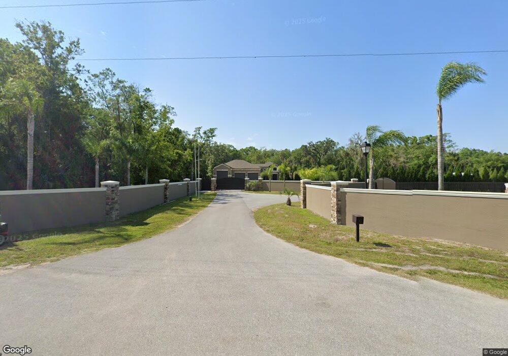
This home is located at 10020 Decubellis Rd, New Port Richey, FL 34654 and is currently estimated at $762,969, approximately $151 per square foot. 10020 Decubellis Rd is a home with nearby schools including Cypress Elementary School, River Ridge High School, and River Ridge Middle School.
Ownership History
Date
Name
Owned For
Owner Type
Purchase Details
Closed on
Jul 30, 2025
Sold by
Walsingham William Scott and Walsingham Michelle L
Bought by
Walsingham William Scott and Walsingham Michelle L
Current Estimated Value
Purchase Details
Closed on
Mar 6, 2007
Sold by
Walsingham William Scott and Walsingham Michelle L
Bought by
Walsingham William Scott and Walsingham Michelle L
Purchase Details
Closed on
Aug 11, 2004
Sold by
Rancho Del Ciervo Estates
Bought by
Walsingham William Scott
Home Financials for this Owner
Home Financials are based on the most recent Mortgage that was taken out on this home.
Original Mortgage
$76,500
Interest Rate
5.73%
Mortgage Type
Seller Take Back
Create a Home Valuation Report for This Property
The Home Valuation Report is an in-depth analysis detailing your home's value as well as a comparison with similar homes in the area
Home Values in the Area
Average Home Value in this Area
Purchase History
| Date | Buyer | Sale Price | Title Company |
|---|---|---|---|
| Walsingham William Scott | -- | None Listed On Document | |
| Walsingham William Scott | -- | None Available | |
| Walsingham William Scott | $76,500 | -- |
Source: Public Records
Mortgage History
| Date | Status | Borrower | Loan Amount |
|---|---|---|---|
| Previous Owner | Walsingham William Scott | $76,500 |
Source: Public Records
Tax History Compared to Growth
Tax History
| Year | Tax Paid | Tax Assessment Tax Assessment Total Assessment is a certain percentage of the fair market value that is determined by local assessors to be the total taxable value of land and additions on the property. | Land | Improvement |
|---|---|---|---|---|
| 2025 | $9,162 | $585,317 | -- | -- |
| 2024 | $9,162 | $569,458 | -- | -- |
| 2023 | $8,852 | $553,529 | $0 | $0 |
| 2022 | $8,433 | $566,773 | $0 | $0 |
| 2021 | $6,980 | $467,426 | $190,990 | $276,436 |
| 2020 | $5,319 | $363,170 | $118,831 | $244,339 |
| 2019 | $5,257 | $355,012 | $0 | $0 |
| 2018 | $3,302 | $233,222 | $0 | $0 |
| 2017 | $2,673 | $194,904 | $0 | $0 |
| 2016 | $2,143 | $173,387 | $0 | $0 |
| 2015 | $2,178 | $172,217 | $37,458 | $134,759 |
| 2014 | $194 | $12,828 | $10,665 | $2,163 |
Source: Public Records
Map
Nearby Homes
- 10301 Bellwood Ave
- 7222 Auburn Ln
- 0 Red Oak Loop
- 7051 Woodibis Dr
- 6606 Garden Palm Ct
- 10305 Copperwood Dr
- 7320 Auburn Ln
- 6533 Cardinal Crest Dr
- 6622 Pine Walk Dr
- 10235 Maverick St
- 9519 Scenic Pine Ct
- 7507 Katherine Dr
- 10319 Widgeon Way
- 9626 Woodhollow Ct
- 9739 Brookdale Dr
- 7530 Roy Ct
- 10319 Alberta Ct
- 5930 Precious View Ct
- 7536 Roland Ct
- 9405 Palm Haven Ct
- 10022 Maybrook Ct
- 10014 Maybrook Ct
- 10034 Maybrook Ct
- 10102 Maybrook Ct
- 7029 Auburn Ln
- Lot 55 Auburn Ln
- 7279 Red Oak Loop
- 10116 Maybrook Ct
- Red Oak Loop
- 10023 Maybrook Ct
- 10033 Maybrook Ct
- 7039 Auburn Ln
- 10120 Maybrook Ct
- 10103 Maybrook Ct
- 7261 Red Oak Loop
- 7001 Silverwood Dr
- 7105 Auburn Ln
- 10022 Highcrest Ln
- 10115 Maybrook Ct
- 9905 Decubellis Rd