10020 Forrest Ln Chestertown, MD 21620
Estimated Value: $918,583 - $981,000
--
Bed
2
Baths
2,875
Sq Ft
$329/Sq Ft
Est. Value
About This Home
This home is located at 10020 Forrest Ln, Chestertown, MD 21620 and is currently estimated at $944,861, approximately $328 per square foot. 10020 Forrest Ln is a home located in Kent County with nearby schools including Center for Innovation, Kent County Middle School, and Kent County High School.
Ownership History
Date
Name
Owned For
Owner Type
Purchase Details
Closed on
Jan 25, 2021
Sold by
Forrest Lane Llc
Bought by
Teaf Adrian R
Current Estimated Value
Home Financials for this Owner
Home Financials are based on the most recent Mortgage that was taken out on this home.
Original Mortgage
$252,500
Outstanding Balance
$225,716
Interest Rate
2.67%
Mortgage Type
New Conventional
Estimated Equity
$719,145
Purchase Details
Closed on
May 7, 2020
Sold by
Teaf Adrian R
Bought by
Forrest Lane Llc
Purchase Details
Closed on
Sep 28, 2018
Sold by
Teaf Adrian R
Bought by
Teaf Adrian R
Purchase Details
Closed on
Feb 1, 1985
Sold by
Sandberg George W and Sandberg Suzanne M
Bought by
Teaf Adrian R and Teaf Louise S
Create a Home Valuation Report for This Property
The Home Valuation Report is an in-depth analysis detailing your home's value as well as a comparison with similar homes in the area
Home Values in the Area
Average Home Value in this Area
Purchase History
| Date | Buyer | Sale Price | Title Company |
|---|---|---|---|
| Teaf Adrian R | -- | None Available | |
| Forrest Lane Llc | -- | None Available | |
| Teaf Adrian R | -- | None Available | |
| Teaf Adrian R | $107,500 | -- |
Source: Public Records
Mortgage History
| Date | Status | Borrower | Loan Amount |
|---|---|---|---|
| Open | Teaf Adrian R | $252,500 |
Source: Public Records
Tax History Compared to Growth
Tax History
| Year | Tax Paid | Tax Assessment Tax Assessment Total Assessment is a certain percentage of the fair market value that is determined by local assessors to be the total taxable value of land and additions on the property. | Land | Improvement |
|---|---|---|---|---|
| 2025 | $7,725 | $675,900 | $0 | $0 |
| 2024 | $7,510 | $657,000 | $409,200 | $247,800 |
| 2023 | $7,476 | $653,967 | $0 | $0 |
| 2022 | $7,376 | $650,933 | $0 | $0 |
| 2021 | $7,407 | $647,900 | $409,200 | $238,700 |
| 2020 | $7,407 | $647,900 | $409,200 | $238,700 |
| 2019 | $7,407 | $647,900 | $409,200 | $238,700 |
| 2018 | $7,713 | $674,900 | $409,200 | $265,700 |
| 2017 | $7,713 | $674,900 | $0 | $0 |
| 2016 | -- | $674,900 | $0 | $0 |
| 2015 | $7,294 | $678,000 | $0 | $0 |
| 2014 | $7,294 | $678,000 | $0 | $0 |
Source: Public Records
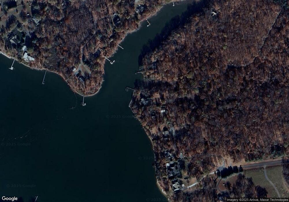
Map
Nearby Homes
- 10230 John Carvill Rd
- 0 Fish Hatchery Rd Unit MDKE2002848
- 0 Fish Hatchery Rd Unit MDKE2004754
- 0 Sandpiper Rd Unit MDKE2005542
- 0 Spinnaker Rd
- 8750 Georgetown Rd
- 0 Buck Neck Rd Unit MDKE2005262
- 0 Bunting Rd
- 0 Clarissa Rd Unit MDKE2005786
- 0 Kinglet Rd
- 0 Cloquet Rd Unit MDKE2005966
- 0 Towhee Rd
- LOTS 253-254 Carimon Rd
- 0 Beltram Rd
- Parcel Buck Neck Ldg Rd
- 0 Lenapah Rd
- 8833 Georgetown Rd
- 0 Rd
- 23043 Bay Shore Spur
- 23069 Raleigh Rd
- 22482 Fairgale Farm Ln
- 10046 Forrest Ln
- 22470 Fairgale Farm Ln
- 22460 Fairgale Farm Ln
- 22458 Fairgale Farm Ln
- 10078 Forrest Ln
- 10069 John Carvill Rd
- 10087 John Carvill Rd
- 10044 Fourth Point Rd
- 10044 John Carvill (4th Point) Rd
- 22455 Fairgale Farm Ln
- 10129 Cove Rd
- 10102 John Carvill Rd
- 22466 Fairgale Farm Ln
- 10090 Forrest Ln
- 10147 Cove Rd
- 10126 John Carvill Rd
- 10080 3rd Point Rd
- 10080 3rd Point Rd Unit ROAD
- 10080R 3rd Point Rd