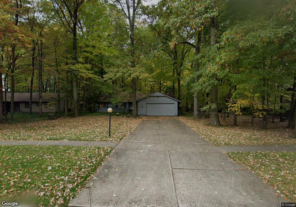
10020 Maple Branch Trail Strongsville, OH 44149
Estimated Value: $263,000 - $355,000
3
Beds
2
Baths
1,480
Sq Ft
$206/Sq Ft
Est. Value
About This Home
This home is located at 10020 Maple Branch Trail, Strongsville, OH 44149 and is currently estimated at $304,197, approximately $205 per square foot. 10020 Maple Branch Trail is a home located in Cuyahoga County with nearby schools including Strongsville High School, Sts Joseph & John Interparochial School, and St Mary School.
Ownership History
Date
Name
Owned For
Owner Type
Purchase Details
Closed on
Jun 18, 1991
Sold by
Farro Thomas S
Bought by
Carlsen Gary A
Current Estimated Value
Purchase Details
Closed on
Feb 21, 1989
Sold by
Farro Thomas S
Bought by
Farro Thomas S
Purchase Details
Closed on
Apr 2, 1985
Sold by
Farro Thomas S
Bought by
Farro Thomas S
Purchase Details
Closed on
Oct 21, 1983
Bought by
Farro Thomas S
Purchase Details
Closed on
Jan 1, 1980
Bought by
Bob Schmitt Homes Inc
Create a Home Valuation Report for This Property
The Home Valuation Report is an in-depth analysis detailing your home's value as well as a comparison with similar homes in the area
Home Values in the Area
Average Home Value in this Area
Purchase History
| Date | Buyer | Sale Price | Title Company |
|---|---|---|---|
| Carlsen Gary A | $136,000 | -- | |
| Farro Thomas S | -- | -- | |
| Farro Thomas S | -- | -- | |
| Farro Thomas S | $93,500 | -- | |
| Bob Schmitt Homes Inc | -- | -- |
Source: Public Records
Tax History Compared to Growth
Tax History
| Year | Tax Paid | Tax Assessment Tax Assessment Total Assessment is a certain percentage of the fair market value that is determined by local assessors to be the total taxable value of land and additions on the property. | Land | Improvement |
|---|---|---|---|---|
| 2024 | $3,190 | $77,735 | $20,475 | $57,260 |
| 2023 | $3,959 | $72,390 | $22,650 | $49,740 |
| 2022 | $3,956 | $72,380 | $22,650 | $49,740 |
| 2021 | $3,925 | $72,380 | $22,650 | $49,740 |
| 2020 | $3,526 | $59,330 | $18,550 | $40,780 |
| 2019 | $3,422 | $169,500 | $53,000 | $116,500 |
| 2018 | $2,986 | $59,330 | $18,550 | $40,780 |
| 2017 | $2,919 | $52,750 | $14,740 | $38,010 |
| 2016 | $2,895 | $52,750 | $14,740 | $38,010 |
| 2015 | $2,833 | $52,750 | $14,740 | $38,010 |
| 2014 | $2,833 | $51,210 | $14,320 | $36,890 |
Source: Public Records
Map
Nearby Homes
- 0 Priem Rd
- 10353 Oak Branch Trail
- 9829 Plum Brook Ln
- 22300 Rock Creek Cir
- 10008 Plum Brook Ln
- 21292 Creekside Dr
- 9598 Pebble Brook Ln
- 10842 Fence Row Dr
- 11030 Southwind Ct
- 10824 Watercress Rd
- 10839 Prospect Rd
- 8746 Barton Dr
- 8902 Lincolnshire Blvd
- 21359 Briar Bush Ln
- 10800 Meadow Trail
- 8627 Courtland Dr
- 20684 Albion Rd
- 8356 Bernice Dr
- 9384 N Marks Rd
- 20424 Scotch Pine Way
- 10076 Maple Branch Trail
- 10132 Maple Branch Trail
- 21809 Cedar Branch Trail
- 21847 Cedar Branch Trail
- 21885 Cedar Branch Trail
- 10013 Maple Branch Trail
- 10069 Maple Branch Trail
- 10188 Maple Branch Trail
- 21745 Cedar Branch Trail
- 21913 Cedar Branch Trail
- 10091 Shale Brook Ct
- 10244 Maple Branch Trail
- 21876 Shagbark Trail
- 10181 Maple Branch Trail
- 21707 Cedar Branch Trail
- 10035 Shale Brook Ct
- 21948 Shagbark Trail
- 10300 Maple Branch Trail
- 10237 Maple Branch Trail
- 21671 Cedar Branch Trail