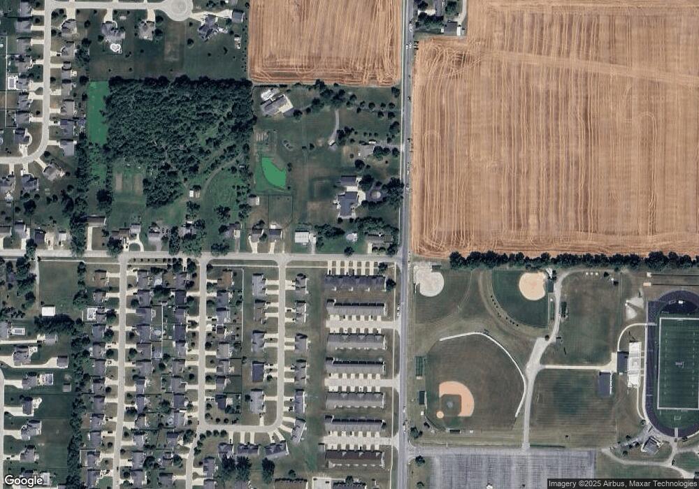
10020 Scott Rd Freeland, MI 48623
Freeland NeighborhoodEstimated Value: $197,989 - $229,000
3
Beds
1
Bath
1,104
Sq Ft
$189/Sq Ft
Est. Value
About This Home
This home is located at 10020 Scott Rd, Freeland, MI 48623 and is currently estimated at $208,497, approximately $188 per square foot. 10020 Scott Rd is a home located in Saginaw County with nearby schools including Freeland Learning Center, Freeland Elementary School, and Freeland Middle/High School.
Ownership History
Date
Name
Owned For
Owner Type
Purchase Details
Closed on
Jun 29, 2016
Sold by
Rohn David M and Rohn Gretchen S
Bought by
Bell Justin C
Current Estimated Value
Home Financials for this Owner
Home Financials are based on the most recent Mortgage that was taken out on this home.
Original Mortgage
$98,679
Outstanding Balance
$78,928
Interest Rate
3.64%
Mortgage Type
New Conventional
Estimated Equity
$129,569
Purchase Details
Closed on
Dec 1, 2004
Purchase Details
Closed on
Mar 14, 2001
Sold by
Booth Billy B and Booth Betty J
Bought by
Billy B & Betty J Booth Revocable Inter
Create a Home Valuation Report for This Property
The Home Valuation Report is an in-depth analysis detailing your home's value as well as a comparison with similar homes in the area
Home Values in the Area
Average Home Value in this Area
Purchase History
| Date | Buyer | Sale Price | Title Company |
|---|---|---|---|
| Bell Justin C | $100,500 | -- | |
| -- | $100,000 | -- | |
| Billy B & Betty J Booth Revocable Inter | -- | -- |
Source: Public Records
Mortgage History
| Date | Status | Borrower | Loan Amount |
|---|---|---|---|
| Open | Bell Justin C | $98,679 |
Source: Public Records
Tax History Compared to Growth
Tax History
| Year | Tax Paid | Tax Assessment Tax Assessment Total Assessment is a certain percentage of the fair market value that is determined by local assessors to be the total taxable value of land and additions on the property. | Land | Improvement |
|---|---|---|---|---|
| 2025 | $2,670 | $88,500 | $0 | $0 |
| 2024 | $737 | $79,900 | $0 | $0 |
| 2023 | $702 | $70,600 | $0 | $0 |
| 2022 | $2,206 | $65,000 | $0 | $0 |
| 2021 | $1,969 | $59,000 | $0 | $0 |
| 2020 | $1,906 | $56,600 | $0 | $0 |
| 2019 | $1,862 | $56,100 | $0 | $0 |
| 2018 | $615 | $56,100 | $0 | $0 |
| 2017 | $1,713 | $55,100 | $0 | $0 |
| 2016 | $1,582 | $51,900 | $0 | $0 |
| 2014 | -- | $51,600 | $0 | $36,900 |
| 2013 | -- | $50,700 | $0 | $0 |
Source: Public Records
Map
Nearby Homes
- 8421 Waxwing Dr
- 8326 Waxwing Dr
- 8599 Ashland Place
- 8311 Summer Ridge Dr
- 8699 Ashland Place
- 10190 Dove Dr
- 9968 Garner Ln
- 10346 Laurel Woods Place
- 9924 Garner Ln
- 10450 Laurel Woods Place
- 0 Foxtail Trail Unit 50182332
- 9100 Brook Hollow Ln
- 10224 Sarle Rd
- 335 Third St
- 160 N 4th St
- 10585 Prairie View Ct
- 147 S 7th St
- 590 Church St
- 8884 Copper Ct
- 8 Willow Point Dr
- 10100 Scott Rd
- 10116 Scott Rd
- 8478 Nuthatch Dr
- 8477 Nuthatch Dr
- 8555 Webster Rd
- 10120 Scott Rd
- 8454 Nuthatch Dr
- 8490 Waxwing St
- 8453 Nuthatch Dr Unit 8455
- 8478 Waxwing St
- 0 Nuthatch Dr
- 0 Nuthatch Dr
- 8430 Nuthatch Dr
- 10138 Scott Rd
- 8464 Waxwing Dr
- 8429 Nuthatch Dr Unit 8431
- 8429 Nuthatch Dr
- 8665 Webster Rd
- 8450 Waxwing St
- 8450 Waxwing Dr
