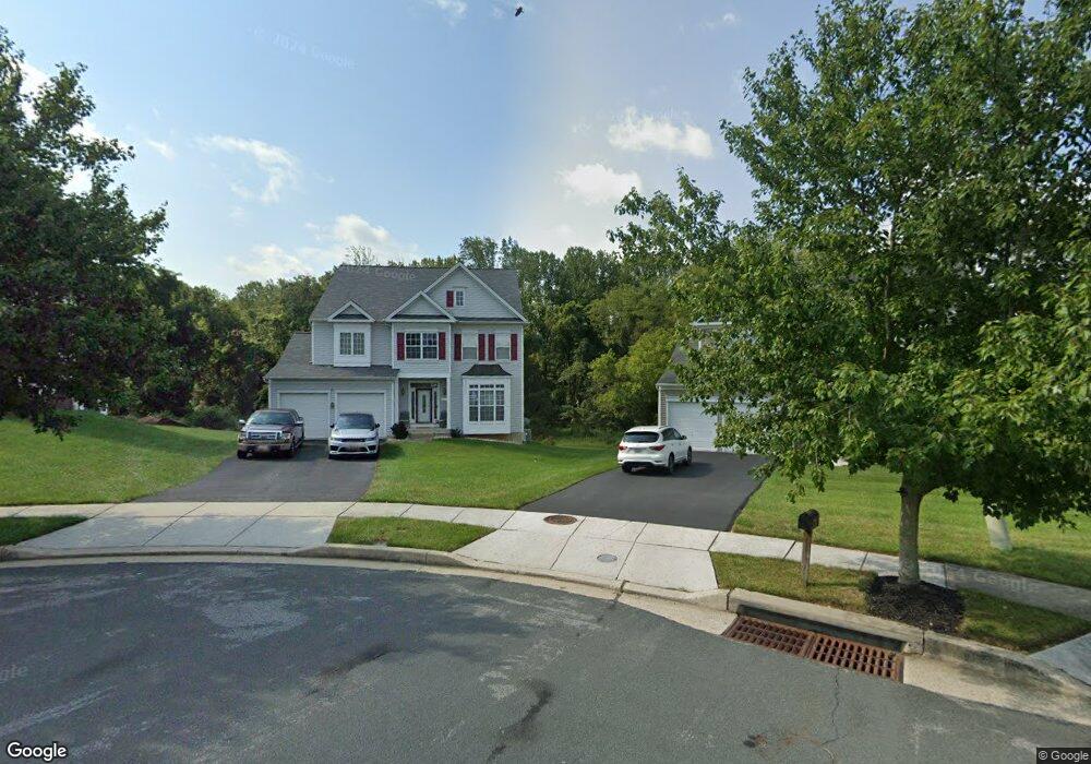
10021 Paxton Rd Randallstown, MD 21133
Estimated Value: $432,000 - $643,000
4
Beds
4
Baths
3,138
Sq Ft
$177/Sq Ft
Est. Value
About This Home
This home is located at 10021 Paxton Rd, Randallstown, MD 21133 and is currently estimated at $554,050, approximately $176 per square foot. 10021 Paxton Rd is a home located in Baltimore County with nearby schools including Hernwood Elementary School, Deer Park Middle Magnet School, and New Town High.
Ownership History
Date
Name
Owned For
Owner Type
Purchase Details
Closed on
Apr 8, 2011
Sold by
Cooper Lamont
Bought by
Cooper Lamont and Cooper Shevonne
Current Estimated Value
Purchase Details
Closed on
Dec 16, 2008
Sold by
Hooks Rudolph
Bought by
Cooper Lamont
Purchase Details
Closed on
Jan 4, 2007
Sold by
National Birchwood Corp
Bought by
Hooks Randolph and Hooks Jonelle
Purchase Details
Closed on
Dec 14, 2006
Sold by
National Birchwood Corp
Bought by
Hooks Randolph and Hooks Jonelle
Create a Home Valuation Report for This Property
The Home Valuation Report is an in-depth analysis detailing your home's value as well as a comparison with similar homes in the area
Home Values in the Area
Average Home Value in this Area
Purchase History
| Date | Buyer | Sale Price | Title Company |
|---|---|---|---|
| Cooper Lamont | -- | -- | |
| Cooper Lamont | -- | -- | |
| Cooper Lamont | $410,000 | -- | |
| Hooks Randolph | $570,000 | -- | |
| Hooks Randolph | $570,000 | -- |
Source: Public Records
Tax History Compared to Growth
Tax History
| Year | Tax Paid | Tax Assessment Tax Assessment Total Assessment is a certain percentage of the fair market value that is determined by local assessors to be the total taxable value of land and additions on the property. | Land | Improvement |
|---|---|---|---|---|
| 2025 | $6,785 | $521,133 | -- | -- |
| 2024 | $6,785 | $478,600 | $99,800 | $378,800 |
| 2023 | $3,394 | $472,367 | $0 | $0 |
| 2022 | $6,451 | $466,133 | $0 | $0 |
| 2021 | $6,258 | $459,900 | $99,800 | $360,100 |
| 2020 | $6,258 | $453,533 | $0 | $0 |
| 2019 | $6,128 | $447,167 | $0 | $0 |
| 2018 | $6,014 | $440,800 | $87,800 | $353,000 |
| 2017 | $5,471 | $402,867 | $0 | $0 |
| 2016 | $5,530 | $364,933 | $0 | $0 |
| 2015 | $5,530 | $327,000 | $0 | $0 |
| 2014 | $5,530 | $327,000 | $0 | $0 |
Source: Public Records
Map
Nearby Homes
- 3517 Kings Point Rd
- 3618 Granite Rd
- 3525 Cabot Rd
- 10301 Marriottsville Rd
- 9605 Mendoza Rd
- 9804 Marriottsville Rd
- 30 Sheraton Rd
- 10520 Marriottsville Rd
- 3538 Corn Stream Rd
- 3803 Marriottsville Rd
- 3518 Orchard Shade Rd
- 3200 Peddicoat Ct
- 3827 Rayton Rd
- 3903 Innerdale Ct
- 3903 Red Deer Cir
- 2508 Offutt Rd
- 9931 Tuscarora Rd
- 4129 Holbrook Rd
- 9302 Silver Charm Dr
- 9401 Summer Squal Dr