10024 Deerfield Rd Franktown, CO 80116
Estimated Value: $1,227,271 - $1,307,000
4
Beds
5
Baths
3,959
Sq Ft
$323/Sq Ft
Est. Value
About This Home
This home is located at 10024 Deerfield Rd, Franktown, CO 80116 and is currently estimated at $1,277,090, approximately $322 per square foot. 10024 Deerfield Rd is a home located in Douglas County with nearby schools including Franktown Elementary School, Sagewood Middle School, and Ponderosa High School.
Ownership History
Date
Name
Owned For
Owner Type
Purchase Details
Closed on
Jun 16, 1995
Sold by
The Deerfield Company Llc
Bought by
Murtha Patrick L and Murtha Janet K
Current Estimated Value
Home Financials for this Owner
Home Financials are based on the most recent Mortgage that was taken out on this home.
Original Mortgage
$388,000
Interest Rate
7.8%
Purchase Details
Closed on
May 23, 1994
Sold by
Lindeman Robert A and Lindeman Paula A
Bought by
The Deerfield Company Llc
Purchase Details
Closed on
Nov 4, 1983
Sold by
Deckerd Monte E
Bought by
Lindeman Robert A and Lindeman Paula A
Create a Home Valuation Report for This Property
The Home Valuation Report is an in-depth analysis detailing your home's value as well as a comparison with similar homes in the area
Home Values in the Area
Average Home Value in this Area
Purchase History
| Date | Buyer | Sale Price | Title Company |
|---|---|---|---|
| Murtha Patrick L | $485,000 | Land Title | |
| The Deerfield Company Llc | $78,000 | -- | |
| Lindeman Robert A | $41,500 | -- |
Source: Public Records
Mortgage History
| Date | Status | Borrower | Loan Amount |
|---|---|---|---|
| Closed | Murtha Patrick L | $388,000 |
Source: Public Records
Tax History Compared to Growth
Tax History
| Year | Tax Paid | Tax Assessment Tax Assessment Total Assessment is a certain percentage of the fair market value that is determined by local assessors to be the total taxable value of land and additions on the property. | Land | Improvement |
|---|---|---|---|---|
| 2024 | $6,170 | $81,980 | $35,830 | $46,150 |
| 2023 | $6,239 | $81,980 | $35,830 | $46,150 |
| 2022 | $4,229 | $57,450 | $24,370 | $33,080 |
| 2021 | $4,382 | $57,450 | $24,370 | $33,080 |
| 2020 | $4,112 | $55,650 | $20,310 | $35,340 |
| 2019 | $4,131 | $55,650 | $20,310 | $35,340 |
| 2018 | $3,739 | $50,310 | $16,670 | $33,640 |
| 2017 | $3,481 | $50,310 | $16,670 | $33,640 |
| 2016 | $3,413 | $49,400 | $15,200 | $34,200 |
| 2015 | $4,160 | $49,400 | $15,200 | $34,200 |
| 2014 | $3,589 | $39,830 | $9,150 | $30,680 |
Source: Public Records
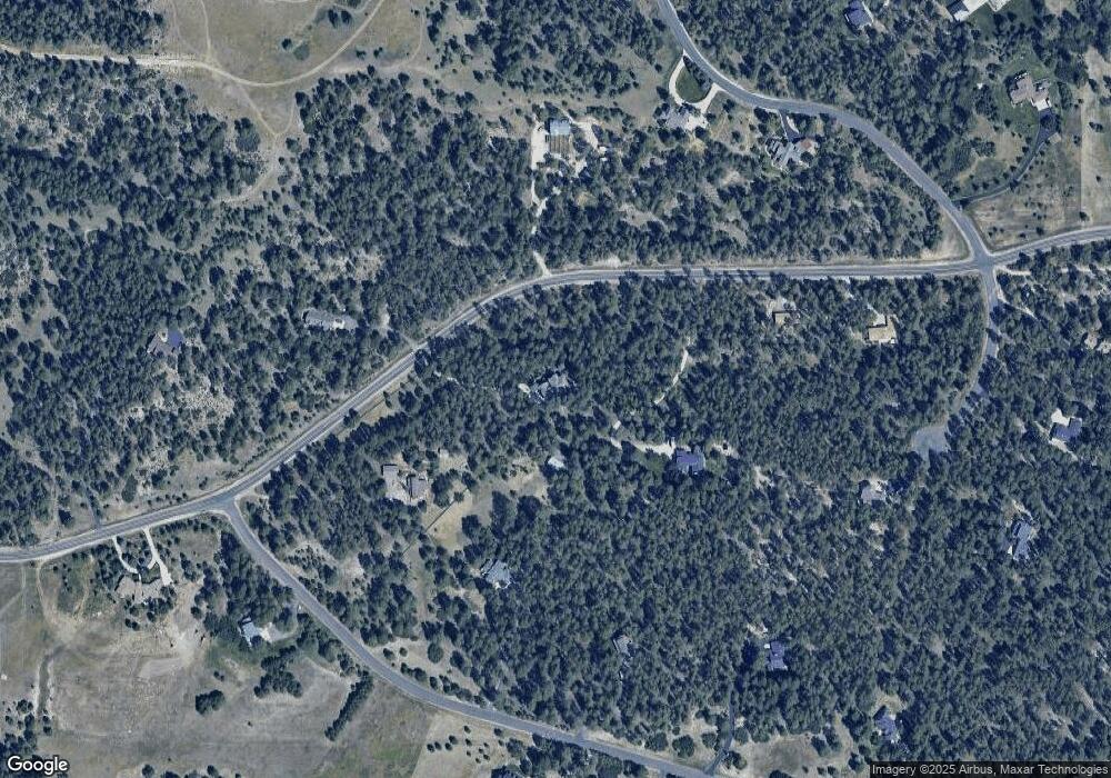
Map
Nearby Homes
- 9142 Warriors Mark Dr
- 9162 Warriors Mark Dr
- 10525 Wild Fox Place
- 230 S Big Meadow Trail
- 720 N Bluff Dr
- 11008 Sunset Oaks Place
- 11011 Sunset Oaks
- 1579 Deerpath Rd
- 8987 Village Pines Cir
- 1730 Ward Cir
- 8788 E Tanglewood Rd
- 1750 Arrowpoint Ct
- 1721 Arrowpoint Ct
- 1724 Arrowpoint Ct
- 11044 Conestoga Place
- 11584 E State Highway 86
- 104 Bill Davis Rd
- 2130 Frontier Ln
- 2218 Deerpath Rd
- 2231 Meadow Green Cir
- 9920 Deerfield Rd
- 10064 Deerfield Rd
- 57 S White Tail Dr
- 95 S White Tail Dr
- 0 E Deerfield Rd Unit 1121487
- 9975 Deerfield Rd
- 926 N White Tail Dr
- 938 N White Tail Dr
- 123 S White Tail Dr
- 369 Doe Cir
- 10150 Deerfield Rd
- 28 S White Tail Dr
- 74 S White Tail Dr
- 968 N White Tail Dr
- 106 S White Tail Dr
- 9812 Deerfield Rd
- 904 N White Tail Dr
- 155 S White Tail Dr
- 380 Doe Cir
- 863 N White Tail Dr