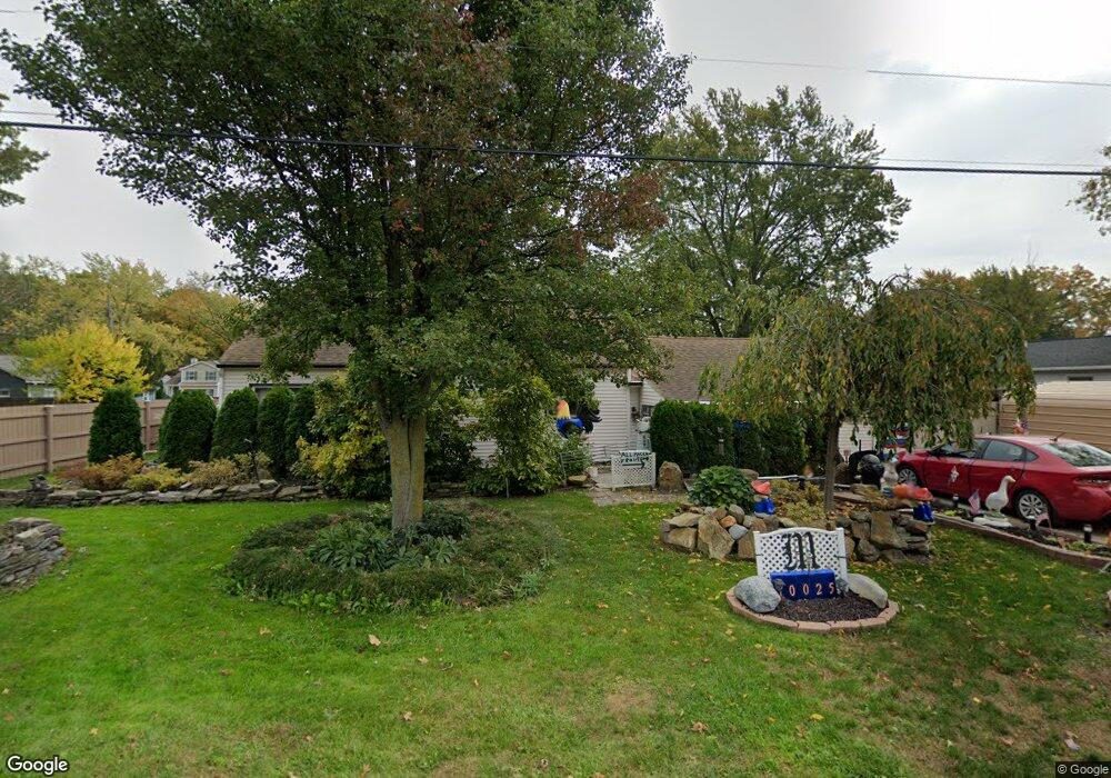
10025 Bryant Dr Columbia Station, OH 44028
Estimated Value: $219,000 - $253,000
3
Beds
2
Baths
1,665
Sq Ft
$144/Sq Ft
Est. Value
About This Home
This home is located at 10025 Bryant Dr, Columbia Station, OH 44028 and is currently estimated at $239,454, approximately $143 per square foot. 10025 Bryant Dr is a home located in Lorain County with nearby schools including Copopa Elementary School, Columbia Middle School, and Columbia High School.
Ownership History
Date
Name
Owned For
Owner Type
Purchase Details
Closed on
Aug 22, 2024
Sold by
Maar Rudolph and Maar Donna J
Bought by
Woost Leland and Woost Rachel
Current Estimated Value
Home Financials for this Owner
Home Financials are based on the most recent Mortgage that was taken out on this home.
Original Mortgage
$10,900
Outstanding Balance
$10,787
Interest Rate
6.89%
Estimated Equity
$228,667
Create a Home Valuation Report for This Property
The Home Valuation Report is an in-depth analysis detailing your home's value as well as a comparison with similar homes in the area
Home Values in the Area
Average Home Value in this Area
Purchase History
| Date | Buyer | Sale Price | Title Company |
|---|---|---|---|
| Woost Leland | $218,000 | Infinity Title |
Source: Public Records
Mortgage History
| Date | Status | Borrower | Loan Amount |
|---|---|---|---|
| Open | Woost Leland | $10,900 | |
| Open | Woost Leland | $214,051 |
Source: Public Records
Tax History Compared to Growth
Tax History
| Year | Tax Paid | Tax Assessment Tax Assessment Total Assessment is a certain percentage of the fair market value that is determined by local assessors to be the total taxable value of land and additions on the property. | Land | Improvement |
|---|---|---|---|---|
| 2024 | $1,903 | $63,809 | $25,725 | $38,084 |
| 2023 | $1,316 | $45,017 | $16,552 | $28,466 |
| 2022 | $1,323 | $45,017 | $16,552 | $28,466 |
| 2021 | $1,336 | $45,017 | $16,552 | $28,466 |
| 2020 | $1,103 | $37,890 | $13,930 | $23,960 |
| 2019 | $1,097 | $37,890 | $13,930 | $23,960 |
| 2018 | $1,581 | $37,890 | $13,930 | $23,960 |
| 2017 | $1,642 | $36,810 | $9,190 | $27,620 |
| 2016 | $1,654 | $36,810 | $9,190 | $27,620 |
| 2015 | $1,691 | $36,810 | $9,190 | $27,620 |
| 2014 | $1,691 | $36,810 | $9,190 | $27,620 |
| 2013 | $1,697 | $36,810 | $9,190 | $27,620 |
Source: Public Records
Map
Nearby Homes
- V/L Aldridge Dr
- 8748 Bottle Brush Dr
- 8839 Leatherleaf Dr
- 8809 Leatherleaf Dr
- 8981 Leatherleaf Dr
- 10700 Whitewing Way
- 9757 Wainwright Terrace
- 24628 Sprague Rd
- 9797 Sugarbush Cir
- 9675 E Northwood Dr
- 24835 W Northwood Dr
- 8783 N Marks Rd
- 23004 Chandlers Ln Unit 109
- 23155 Wainwright Terrace
- Belleville Plan at The Estates of Columbia Ridge
- Ash Lawn Plan at The Estates of Columbia Ridge
- Brennan Plan at The Estates of Columbia Ridge
- Lyndhurst Plan at The Estates of Columbia Ridge
- Alden Plan at The Estates of Columbia Ridge
- Vanderburgh Plan at The Estates of Columbia Ridge
- 10055 Bryant Dr
- Lot B Bryant Dr
- 10042 Aldridge Dr
- 10032 Aldridge Dr
- 10052 Aldridge Dr
- 9987 Bryant Dr
- 10085 Bryant Dr
- 10026 Bryant Dr
- 10086 Aldridge Dr
- 9990 Bryant Dr
- 10115 Bryant Dr
- 10115 Bryant Dr
- 9955 Bryant Dr
- 9968 Bryant Dr
- 10086 Bryant Dr
- 10120 Aldridge Dr
- 9956 Aldridge Dr
- 10041 Aldridge Dr
- 10027 Aldridge Dr
- 10031 Colfax Dr