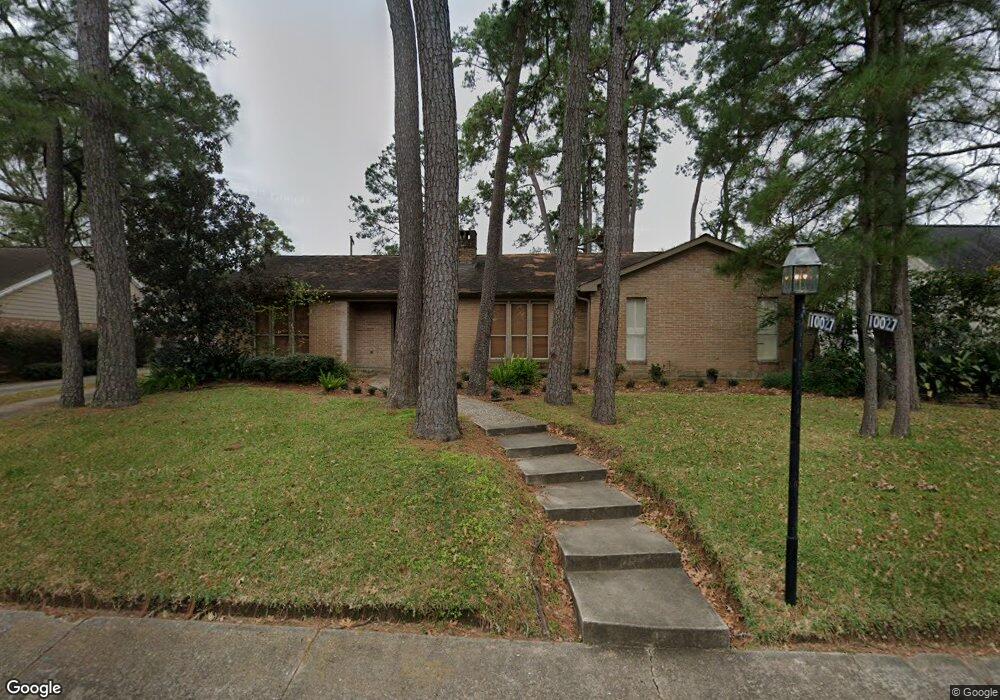
10027 Green Tree Rd Houston, TX 77042
Briar Forest NeighborhoodEstimated Value: $845,000 - $940,782
4
Beds
3
Baths
2,568
Sq Ft
$352/Sq Ft
Est. Value
About This Home
This home is located at 10027 Green Tree Rd, Houston, TX 77042 and is currently estimated at $903,196, approximately $351 per square foot. 10027 Green Tree Rd is a home located in Harris County with nearby schools including Walnut Bend Elementary School, Paul Revere Middle School, and Westside High School.
Ownership History
Date
Name
Owned For
Owner Type
Purchase Details
Closed on
Nov 22, 1993
Sold by
Deviney Darden and Osborne Jerry Lloyd
Bought by
Cherry Daniel Carlisle and Cherry Susan
Current Estimated Value
Home Financials for this Owner
Home Financials are based on the most recent Mortgage that was taken out on this home.
Original Mortgage
$200,450
Interest Rate
6.83%
Create a Home Valuation Report for This Property
The Home Valuation Report is an in-depth analysis detailing your home's value as well as a comparison with similar homes in the area
Home Values in the Area
Average Home Value in this Area
Purchase History
| Date | Buyer | Sale Price | Title Company |
|---|---|---|---|
| Cherry Daniel Carlisle | -- | Stewart Title Co |
Source: Public Records
Mortgage History
| Date | Status | Borrower | Loan Amount |
|---|---|---|---|
| Closed | Cherry Daniel Carlisle | $200,450 |
Source: Public Records
Tax History Compared to Growth
Tax History
| Year | Tax Paid | Tax Assessment Tax Assessment Total Assessment is a certain percentage of the fair market value that is determined by local assessors to be the total taxable value of land and additions on the property. | Land | Improvement |
|---|---|---|---|---|
| 2025 | $7,362 | $729,878 | $455,873 | $274,005 |
| 2024 | $7,362 | $875,075 | $455,873 | $419,202 |
| 2023 | $7,362 | $805,272 | $455,873 | $349,399 |
| 2022 | $13,784 | $777,283 | $455,873 | $321,410 |
| 2021 | $13,264 | $569,100 | $364,698 | $204,402 |
| 2020 | $13,481 | $556,686 | $364,698 | $191,988 |
| 2019 | $14,134 | $558,547 | $364,698 | $193,849 |
| 2018 | $7,974 | $406,787 | $243,132 | $163,655 |
| 2017 | $13,791 | $545,400 | $243,132 | $302,268 |
| 2016 | $13,286 | $545,400 | $243,132 | $302,268 |
| 2015 | $8,797 | $576,012 | $243,132 | $332,880 |
| 2014 | $8,797 | $474,527 | $243,132 | $231,395 |
Source: Public Records
Map
Nearby Homes
- 10034 Bordley Dr
- 10323 Pine Forest Rd
- 10010 Bordley Dr
- 246 Litchfield Ln
- 238 Litchfield Ln
- 201 Litchfield Ln
- 241 Litchfield Ln
- 201 Vanderpool Ln Unit 103
- 201 Vanderpool Ln Unit 65
- 201 Vanderpool Ln Unit 64
- 8 Woodstone St
- 150 Gessner Rd Unit 5A
- 0 Gessner Rd
- 171 Litchfield Ln
- 259 Litchfield Ln Unit 66
- 12327 Tunbridge Ln
- 161 Litchfield Ln
- 168 Litchfield Ln
- 1 Woodstone St
- 271 Litchfield Ln
- 10023 Green Tree Rd
- 10102 Pine Forest Rd
- 10030 Pine Forest Rd
- 10106 Pine Forest Rd
- 10103 Green Tree Rd
- 10026 Green Tree Rd
- 10030 Green Tree Rd
- 10026 Pine Forest Rd
- 10110 Pine Forest Rd
- 10022 Green Tree Rd
- 10107 Green Tree Rd
- 10102 Green Tree Rd
- 10015 Green Tree Rd
- 10114 Pine Forest Rd
- 10014 Green Tree Rd
- 10022 Pine Forest Rd
- 10106 Green Tree Rd
- 10111 Green Tree Rd
- 10103 Pine Forest Rd
- 10031 Pine Forest Rd