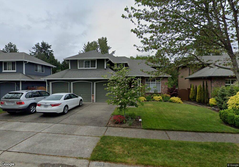
1003 191st St SW Lynnwood, WA 98036
Queensborough-Brentwood NeighborhoodEstimated Value: $1,134,000 - $1,185,000
4
Beds
3
Baths
2,512
Sq Ft
$462/Sq Ft
Est. Value
About This Home
This home is located at 1003 191st St SW, Lynnwood, WA 98036 and is currently estimated at $1,160,182, approximately $461 per square foot. 1003 191st St SW is a home located in Snohomish County with nearby schools including Hilltop Elementary School, Alderwood Middle School, and Lynnwood High School.
Ownership History
Date
Name
Owned For
Owner Type
Purchase Details
Closed on
Jul 17, 2001
Sold by
Norton Matthew J and Norton Monica
Bought by
Lee Yang S
Current Estimated Value
Home Financials for this Owner
Home Financials are based on the most recent Mortgage that was taken out on this home.
Original Mortgage
$130,000
Outstanding Balance
$50,353
Interest Rate
7.21%
Estimated Equity
$1,109,829
Purchase Details
Closed on
May 9, 2000
Sold by
Camwest Development Inc
Bought by
Norton Matthew J and Norton Monica
Home Financials for this Owner
Home Financials are based on the most recent Mortgage that was taken out on this home.
Original Mortgage
$255,950
Interest Rate
8.08%
Create a Home Valuation Report for This Property
The Home Valuation Report is an in-depth analysis detailing your home's value as well as a comparison with similar homes in the area
Home Values in the Area
Average Home Value in this Area
Purchase History
| Date | Buyer | Sale Price | Title Company |
|---|---|---|---|
| Lee Yang S | $305,000 | Fidelity National Title Co | |
| Norton Matthew J | $319,950 | -- |
Source: Public Records
Mortgage History
| Date | Status | Borrower | Loan Amount |
|---|---|---|---|
| Open | Lee Yang S | $130,000 | |
| Previous Owner | Norton Matthew J | $255,950 |
Source: Public Records
Tax History Compared to Growth
Tax History
| Year | Tax Paid | Tax Assessment Tax Assessment Total Assessment is a certain percentage of the fair market value that is determined by local assessors to be the total taxable value of land and additions on the property. | Land | Improvement |
|---|---|---|---|---|
| 2025 | $7,485 | $940,400 | $551,100 | $389,300 |
| 2024 | $7,485 | $906,300 | $530,500 | $375,800 |
| 2023 | $8,213 | $1,041,600 | $607,500 | $434,100 |
| 2022 | $7,213 | $743,400 | $370,500 | $372,900 |
| 2020 | $7,169 | $652,600 | $306,000 | $346,600 |
| 2019 | $6,606 | $598,200 | $255,000 | $343,200 |
| 2018 | $6,657 | $531,300 | $225,000 | $306,300 |
| 2017 | $5,723 | $472,700 | $185,000 | $287,700 |
| 2016 | $5,375 | $445,600 | $170,000 | $275,600 |
| 2015 | $5,185 | $408,300 | $150,000 | $258,300 |
| 2013 | $4,537 | $339,000 | $123,000 | $216,000 |
Source: Public Records
Map
Nearby Homes
- 18901 12th Place W Unit H2
- 625 191st St SW
- 904 187th Place SW
- 19403 7th Ave W Unit C1
- 929 187th Place SW
- 19225 Damson Rd Unit C-2
- 19505 Damson Rd Unit A4
- 19505 Damson Rd Unit A3
- 19505 Damson Rd Unit A1
- 19505 Damson Rd Unit C2
- 19505 Damson Rd Unit C1
- 19505 Damson Rd Unit C3
- 18619 Butternut Rd
- 19727 Locust Way
- 1700 Magnolia Rd
- 18722 3rd Ave W
- 19812 13th Place W
- 18705 3rd Ave W
- 319 196th Place SW Unit 102
- 1901 192nd Place SW
- 929 191st St SW
- 1009 191st St SW
- 1017 191st St SW
- 921 191st St SW
- 1002 191st St SW
- 1008 191st St SW
- 928 191st St SW
- 1016 191st St SW
- 922 191st St SW
- 1025 191st St SW
- 915 191st St SW
- 1024 191st St SW
- 916 191st St SW
- 19218 10th Ave W
- 19217 10th Ave W
- 1033 191st St SW
- 1019 Kentish Rd
- 910 191st St SW
- 1032 191st St SW
- 19221 10th Ave W