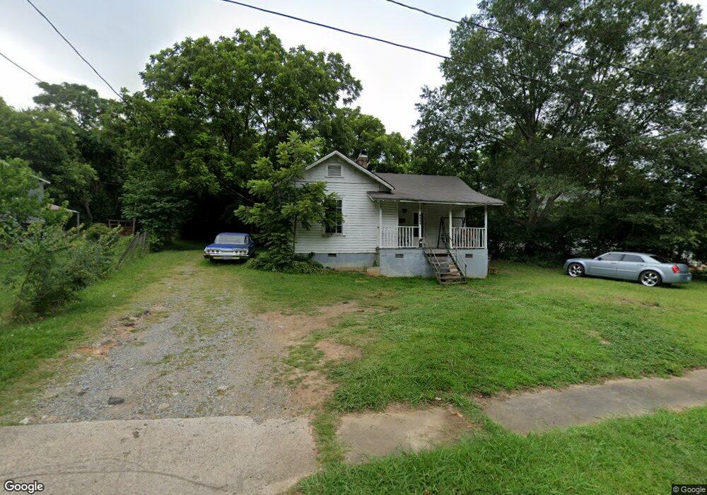
1003 Earl St Shelby, NC 28150
Estimated Value: $83,000 - $110,000
1
Bed
1
Bath
670
Sq Ft
$141/Sq Ft
Est. Value
About This Home
This home is located at 1003 Earl St, Shelby, NC 28150 and is currently estimated at $94,333, approximately $140 per square foot. 1003 Earl St is a home located in Cleveland County with nearby schools including Jefferson Elementary School, Shelby Middle School, and Shelby High School.
Ownership History
Date
Name
Owned For
Owner Type
Purchase Details
Closed on
Dec 15, 2015
Sold by
Martin Paul Nathan and Martin Melissa J
Bought by
Poole Michael Morgan
Current Estimated Value
Home Financials for this Owner
Home Financials are based on the most recent Mortgage that was taken out on this home.
Original Mortgage
$380,000
Outstanding Balance
$301,613
Interest Rate
3.98%
Mortgage Type
Commercial
Estimated Equity
-$207,280
Purchase Details
Closed on
May 8, 2012
Sold by
Hennet Samuel Jay and Hennet Elizabeth A
Bought by
Martin P Nathan
Create a Home Valuation Report for This Property
The Home Valuation Report is an in-depth analysis detailing your home's value as well as a comparison with similar homes in the area
Home Values in the Area
Average Home Value in this Area
Purchase History
| Date | Buyer | Sale Price | Title Company |
|---|---|---|---|
| Poole Michael Morgan | $211,500 | None Available | |
| Martin P Nathan | $4,000 | None Available |
Source: Public Records
Mortgage History
| Date | Status | Borrower | Loan Amount |
|---|---|---|---|
| Open | Poole Michael Morgan | $380,000 |
Source: Public Records
Tax History
| Year | Tax Paid | Tax Assessment Tax Assessment Total Assessment is a certain percentage of the fair market value that is determined by local assessors to be the total taxable value of land and additions on the property. | Land | Improvement |
|---|---|---|---|---|
| 2025 | $296 | $29,726 | $6,480 | $23,246 |
| 2024 | $119 | $9,864 | $4,320 | $5,544 |
| 2023 | $118 | $9,864 | $4,320 | $5,544 |
| 2022 | $118 | $9,864 | $4,320 | $5,544 |
| 2021 | $119 | $9,864 | $4,320 | $5,544 |
| 2020 | $119 | $9,552 | $4,320 | $5,232 |
| 2019 | $119 | $9,552 | $4,320 | $5,232 |
| 2018 | $119 | $9,552 | $4,320 | $5,232 |
| 2017 | $116 | $9,552 | $4,320 | $5,232 |
| 2016 | $116 | $9,552 | $4,320 | $5,232 |
| 2015 | $271 | $21,888 | $4,320 | $17,568 |
| 2014 | $271 | $21,888 | $4,320 | $17,568 |
Source: Public Records
Map
Nearby Homes
- 8 Bolt Dr
- 712 Douglas St
- 811 Craig Place
- 1010 Wesley St
- 823 Frederick St
- 510 Booker St
- 97 Edgemont Ave
- 715 E Marion St
- 746 Vale St
- 953 Hardin Dr
- 825 Hawthorne Rd
- 703 Buffalo St
- 424 Airline Extension
- 213 Knott St
- 508 Crawford St
- 615 Buffalo St
- 207 Knott St
- 739 Vale St
- 502 Crawford St
- 927 Elizabeth Rd
Your Personal Tour Guide
Ask me questions while you tour the home.