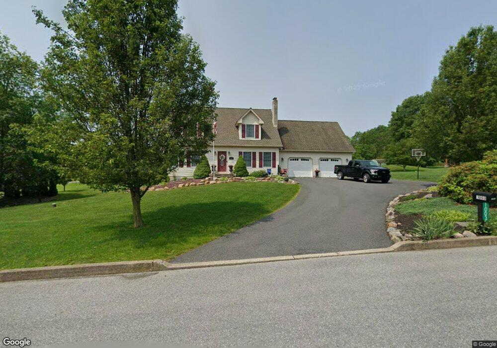
1003 Reinhard Dr Walnutport, PA 18088
Estimated Value: $457,073 - $471,000
3
Beds
3
Baths
1,767
Sq Ft
$262/Sq Ft
Est. Value
About This Home
This home is located at 1003 Reinhard Dr, Walnutport, PA 18088 and is currently estimated at $462,768, approximately $261 per square foot. 1003 Reinhard Dr is a home located in Northampton County with nearby schools including Lehigh Elementary School, Northampton Area Middle School, and Northampton Area High School.
Ownership History
Date
Name
Owned For
Owner Type
Purchase Details
Closed on
Sep 6, 2022
Sold by
David Jr Joseph R
Bought by
David Family Trust
Current Estimated Value
Purchase Details
Closed on
Jan 9, 2012
Sold by
David Joseph R and David Joseph R
Bought by
David Joseph R and Wall Lisa J
Home Financials for this Owner
Home Financials are based on the most recent Mortgage that was taken out on this home.
Original Mortgage
$80,000
Interest Rate
3.29%
Mortgage Type
New Conventional
Create a Home Valuation Report for This Property
The Home Valuation Report is an in-depth analysis detailing your home's value as well as a comparison with similar homes in the area
Home Values in the Area
Average Home Value in this Area
Purchase History
| Date | Buyer | Sale Price | Title Company |
|---|---|---|---|
| David Family Trust | -- | -- | |
| David Family Trust | -- | None Listed On Document | |
| David Joseph R | -- | None Available |
Source: Public Records
Mortgage History
| Date | Status | Borrower | Loan Amount |
|---|---|---|---|
| Previous Owner | David Joseph R | $80,000 |
Source: Public Records
Tax History Compared to Growth
Tax History
| Year | Tax Paid | Tax Assessment Tax Assessment Total Assessment is a certain percentage of the fair market value that is determined by local assessors to be the total taxable value of land and additions on the property. | Land | Improvement |
|---|---|---|---|---|
| 2025 | $851 | $78,800 | $19,100 | $59,700 |
| 2024 | $5,793 | $78,800 | $19,100 | $59,700 |
| 2023 | $5,690 | $78,800 | $19,100 | $59,700 |
| 2022 | $5,690 | $78,800 | $19,100 | $59,700 |
| 2021 | $5,313 | $73,400 | $19,100 | $54,300 |
| 2020 | $5,313 | $73,400 | $19,100 | $54,300 |
| 2019 | $5,236 | $73,400 | $19,100 | $54,300 |
| 2018 | $5,158 | $73,400 | $19,100 | $54,300 |
| 2017 | $5,046 | $73,400 | $19,100 | $54,300 |
| 2016 | -- | $73,400 | $19,100 | $54,300 |
| 2015 | -- | $73,400 | $19,100 | $54,300 |
| 2014 | -- | $73,400 | $19,100 | $54,300 |
Source: Public Records
Map
Nearby Homes
- 1015 Honeysuckle Rd
- 0 Walnut Dr
- 1150 E Stateside Dr
- 0 Olive Rd
- 3829 Dogwood Rd
- 0 Mountain View Dr Unit 747924
- 723 Fir Dr
- 4196 Independence Ln
- 4083 W Mountain View Dr
- 4237 Independence Ln
- 904 Municipal Rd
- 1437 Nectarine Rd
- 4015 Sycamore Dr
- 1225 Meyer Dr
- 137 E Zimmer Dr
- 4390 Woodland Cir
- 3479 Mango Dr
- 861 Municipal Rd
- 93 Nashua St
- 12 E Zimmer Dr
- 3954 Wood Dr
- 1007 Reinhard Dr
- 3925 Wood Dr
- 3930 Wood Dr
- 1010 Reinhard Dr
- 1015 Reinhard Dr
- 3921 Wood Dr
- 1026 Reinhard Dr
- 1025 Reinhard Dr
- 3917 Wood Dr
- 1034 Reinhard Dr
- 3971 Wood Dr
- 3931 Wood Dr
- 3907 Wood Dr
- 3979 Wood Dr
- 3899 Wood Dr
- 3882 Wood Dr
- 1032 Blue Mountain Dr
- 0 Blue Mountain Dr Unit 587935
- 0 Blue Mountain Dr Unit 661452